Rim of Africa trek
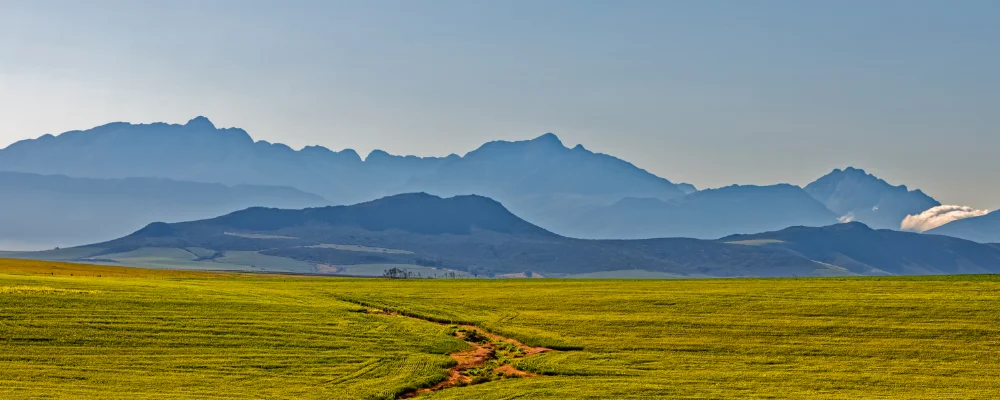
- Distance
- about 700 km (435 miles)
- Country
- South Africa
- Difficulty
- Very challenging
- Type of trip
- Hiking trail
Rim of Africa is a guided mountain traverse, not an open trail. The Rim of Africa Trust, a South African non-profit, runs it once a year from 24 September to 23 November along a line it has worked out across the Cape Fold Mountains, from the Cederberg in the north-west to the Outeniqua foothills north of George. The route crosses a lot of private farmland under access agreements with the landowners, so you can’t walk it on your own: the Trust says anyone doing so without permission would be trespassing.
The line is split into nine traverses of 7 to 10 days each. You can join one, several, or all nine as a nine-week thru-hike with a single rest day. Groups are capped at 12, with two mountain guides. Much of it is off-path through thick fynbos and over rough rock, with wild camping every night, no fires, and packs of 12 to 18 kg, since you carry your own tent, stove and food between food drops. Days run from about 8 to 21 km. Applications open for each year’s dates and places fill up, and the Trust runs training weekends from June to August; check the current fees and transfer costs with the Trust.
Highlights along the way
- Cederberg: the first traverse, about 90 km over 8 days from Pakhuis to Middelberg Pass, through sandstone formations, caves and rock pools. The Cederberg has San rock art and is part of the Cape Floral Region World Heritage Site.
- Hex River Mountains: the traverse crosses Milner Peak at about 1,995 m, the highest point on the line, then drops down a boulder scree into the Milner Amphitheatre.
- Langeberg: a ridge-line traverse of about 60 km from the Koo valley to Montagu, with views as far as the Indian Ocean.
- Marloth traverse: the longest section, about 100 km over 9 days from Montagu to Barrydale, with a night in a large cave above the Marloth reserve.
- Gouritz and Outeniqua: the last two traverses follow the eastern Langeberg, cross the Gouritz river and finish on the Outeniqua Pass north of George.
Distance
About 700 km in total: the nine traverses are published at roughly 60 to 100 km each, which add up to about 700 km. The Trust’s own pages give the whole line as 670 km in one place and 760 km in another, and the route changes a little each year.
If you have a GPX of this route from its official site or a planning app, open it in our free GPX viewer to see the distance, the climb and the height profile. The file stays on your device.
Best time to go
The traverse only runs from 24 September to 23 November, when the streams are still full after the rains, which peak in August, and the fynbos is in flower. Even then the weather swings from below freezing to 40°C, cold fronts can bring days of rain and wind, and snow is possible on the high ground until the end of September.
Flyby films from South Africa
- Route from Maun to Makgadikgadi · Karin
More routes like this
- Drakensberg Grand Traverse · 220–240 km (137–149 miles) · South Africa, Lesotho
- Camino del Norte · 820 km (510 miles) · Spain
- Sentiero Italia on foot · about 8,000 km (4,970 miles) · Italy
- Camino Olvidado · about 532 km (331 miles) · Spain
- St. Olav's Way, Oslo to Trondheim · about 643 km (400 miles) · Norway
- Cambrian Way · 479 km (298 miles) · Wales