Sentiero Italia on foot
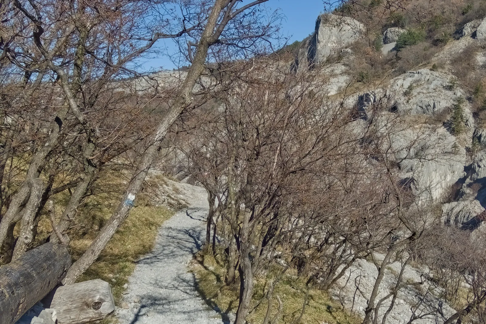
Photo: Ajznponar, CC0, via Wikimedia Commons
- Distance
- about 8,000 km (4,970 miles)
- Country
- Italy
- Difficulty
- Challenging
- Type of trip
- Hiking trail
The Sentiero Italia CAI is the Italian Alpine Club’s walk the length of the country, about 8,000 km over its mountains. It starts at Santa Teresa Gallura at the top of Sardinia, crosses Sicily, follows the Apennines up to Liguria and then runs across the Alps to Muggia, by Trieste. The CAI calls it Italy’s longest walking route, and it passes through every region and 16 national parks. It grew out of an idea from Riccardo Carnovalini and a group of friends in the 1980s. The CAI took it on in the 1990s and relaunched it under its current name in 2018. Long stretches follow older routes, such as the Grande Escursione Appenninica, the Alta Via dei Monti Liguri and the Grande Traversata delle Alpi. You don’t have to walk it all, and the CAI says it was planned to be walked in sections.
Stages are graded on the CAI scale, from T, easy paths, to EE, for experienced hikers. Each one has a card on the interactive map at sentieroitalia.cai.it with the technical data, a route description, places to stay where there are any, and a GPX track. You sleep in mountain huts, local guesthouses and places accredited by the CAI, and it counts almost 400 stopping points along the way. Follow the red-white-red CAI marks, often with the Sentiero Italia logo. Local CAI sections and volunteers look after them. The CAI’s walker’s passport, a stamp book for the stages, was listed as coming soon in November 2026.
Highlights along the way
- Santa Teresa Gallura: The southern end, at the top of Sardinia. The route isn’t all on land. There’s sea between Sardinia and Sicily, and the Strait of Messina after that. In 2021 Elia Origoni rowed both rather than take a ferry.
- Grande Escursione Appenninica: 425 km over the Tuscan-Romagna and Tuscan-Emilian Apennines, now split into 28 stages. It was planned in 1981 and opened in June 1983, with Reinhold Messner there.
- Alta Via dei Monti Liguri: About 440 km along the watershed above the Ligurian coast.
- Grande Traversata delle Alpi: About 1,000 km across the western Alps of Piedmont, from the mountains above Domodossola to the Ligurian Alps, in 55 stages of five to eight hours. Most stages end at a GTA lodging or a hut.
- Lazzaretto, Muggia: The northern end, on the Slovenian border. Sara Bonfanti started here in May 2022 and did the whole route the other way, reaching Santa Teresa Gallura that December.
Distance
About 8,000 km (4,970 miles) in all. The CAI’s own figures are 7,900 to 8,000 km in more than 500 stages, and Italian Wikipedia gives 7,960 km and 527 stages. The Alta Via dei Monti Liguri alone is about 440 km (273 miles), and the Grande Traversata delle Alpi about 1,000 km (621 miles). Lorenzo Franco Santin walked the whole thing in 2017 in just under five months, averaging 54 km (34 miles) a day. Most of the other full walks listed on Italian Wikipedia took seven months or more.
Best time to go
With that much ground, there’s no single season, and the CAI doesn’t name one. Two of the through-walkers on Italian Wikipedia reached the Alps late in the year and met snow, snowbound paths and closed huts, and one couple had 32 days of rain. For a section, check its stage card on the interactive map before you go, and ask the local CAI section about conditions.
More journeys in Italy
- to Tuscany by bike · Yael Zekaria
- Euro Trip 2024 · mmalty
- Istanbul To Ashby · Harry
- Sicily Tour · fredmarien
- Livigno 2026 · Marc
- UK to Georgia by Bike · Simon & Lucy
Flyby films from Italy
- Alta_Via_1_day_1_ · harryknoblauch12
- Plane trip Saturday · fredmarien
- Dag 9: Innsbruck - Bruneck · johan
- Salzburg to Nice · Lucy
More routes like this
- Via di Francesco on foot · about 500 km (311 miles) · Italy
- Via Postumia on foot · about 956 km (594 miles) · Italy
- Cammino di Oropa on foot · about 65 km (40 miles) · Italy
- Cammino Minerario di Santa Barbara on foot · about 500 km (311 miles) · Italy
- Sentiero degli Dei (Path of the Gods) · 8 km (5 miles) · Italy
- Cammino Materano on foot · 168 km (104 miles) · Italy