Cambrian Way
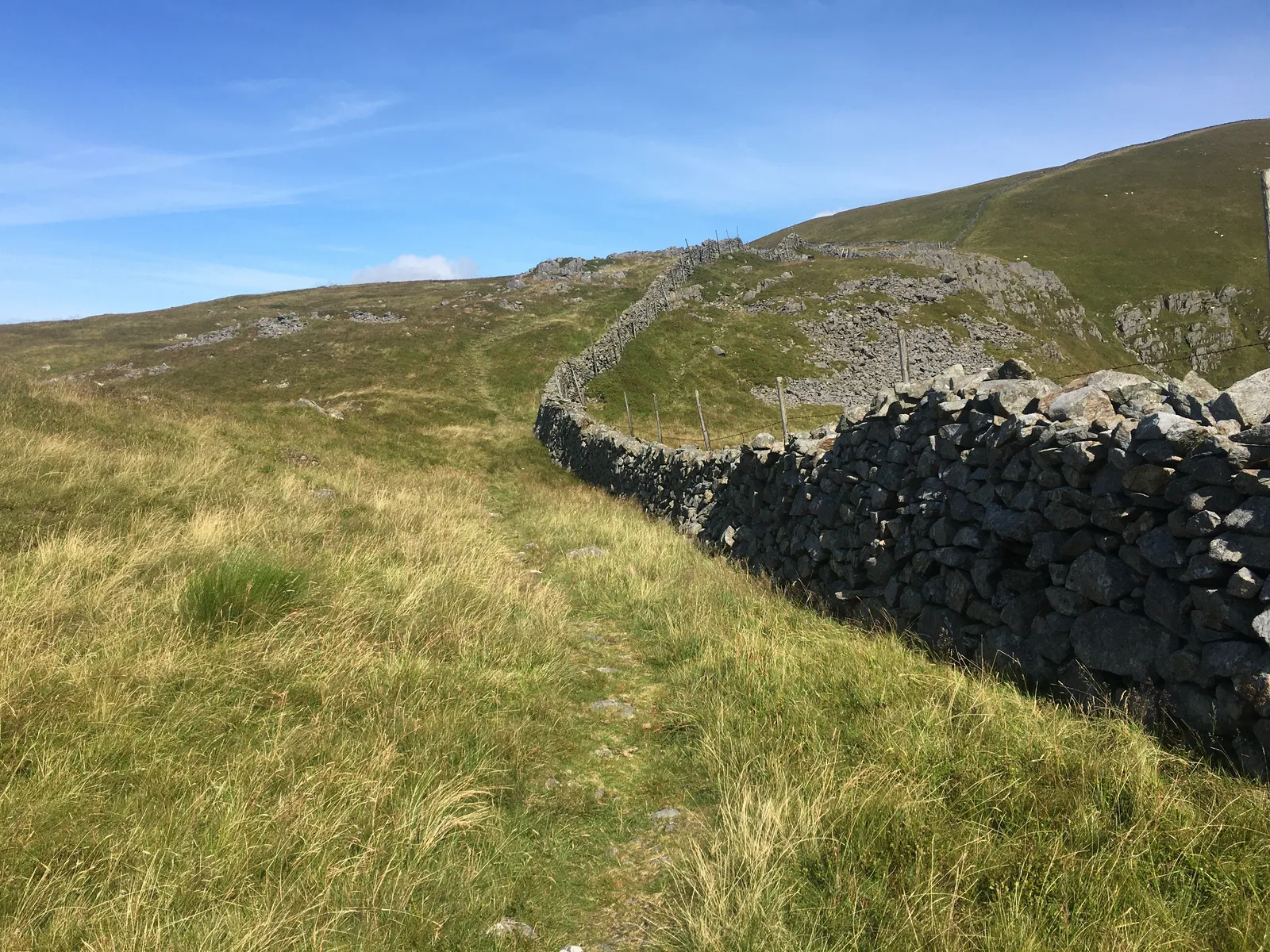
Photo: Steven Brown, CC BY-SA 2.0, via Wikimedia Commons
- Distance
- 479 km (298 miles)
- Country
- Wales
- Difficulty
- Very challenging
- Type of trip
- Hiking trail
The Cambrian Way crosses Wales from Cardiff Castle on the south coast to Conwy Castle on the north coast, and it keeps to the high ground on purpose. The main route in the Cicerone guide is 298 miles (479 km), and the Cambrian Way Trust says a reasonably strong, fit walker takes about 20 days. Tony Drake proposed it in 1967 as a National Trail, but landowners and others opposed it, so in 1984 he published it as an unofficial walk. It was officially recognised in 2019, and it still isn't a National Trail. Don't mix it up with the A470 road route that Visit Wales named the Cambrian Way in 2017.
You sleep in B&Bs, hostels, bunkhouses, hotels and campsites. Beds are scarce in the Elenydd and around Plynlimon, and there are none in the middle of the Rhinogs, so you may have to walk 5 or 6 miles off the route or arrange a pickup. Strictly, wild camping needs the landowner's permission. There are waymarks on some farmland and low ground but none over the mountains, so you need to navigate with map and compass.
Highlights along the way
- Black Mountains and Pen y Fan: After Abergavenny and the Sugar Loaf, a horseshoe over the Black Mountains ridges takes you via Capel-y-ffin to Crickhowell. Then you cross the Brecon Beacons from east to west, over Pen y Fan, at 886 m the highest point in south Wales.
- The Doethie valley: Past Rhandirmwyn, once a busy metal-mining area, a remote path runs up the Doethie valley to Ty'n-y-cornel, the most isolated youth hostel in Wales and a Dark Skies site.
- Plynlimon and Dylife: The route crosses the exposed massif of Plynlimon, where you can see the sources of the Severn and the Wye. Dylife was once the workplace of 2,000 miners and is now a few houses and the Star Inn.
- Cadair Idris and the Rhinogs: From Dinas Mawddwy you follow clifftops west to Cadair Idris, then come down to Barmouth on the path beside the railway over Barmouth Bridge. Next are the Rhinogs, the roughest part of the route, with scrambling, slow going and nowhere to stay. The guide has lower routes for bad weather.
- Snowdon to Conwy: From Beddgelert you climb Snowdon, the highest summit in Wales, then go steeply up again over Glyder Fawr and Glyder Fach into the Ogwen valley. The long last stage crosses the Carneddau to Conwy Castle.
Distance
The main route is about 298 miles (479 km) in all, with roughly 22,500 m (74,000 ft) of climbing, according to the Cambrian Way Trust. The Cicerone guide splits it into 21 stages, from 5.4 miles (8.6 km) between Pen y Pass and Llyn Ogwen to 23 miles (37 km) from Dylife to Dinas Mawddwy. Many walkers do it in three trips, for example Cardiff to Llandovery in 9 days, then the central section to Dinas Mawddwy, then 8 days through Snowdonia.
Best time to go
The Trust's weather figures point to May to September, with June probably the best month. The tops go over 915 m (3,000 ft), and in April there's still a moderate risk of snow on them, much less in May. By September the days are a lot shorter, so any delay can leave you out in the dark. Check the news page at cambrianway.org.uk before you go. In February 2026 it reported the riverside path near Rhandirmwyn closed by erosion and a fallen tree, with a diversion along the byway near Coleg Elidyr.
More journeys in Wales
- Watkins Path Snowdon With Ems · Greg
- Snowdon Watkins Path · Emily
- Ireland To Home. · Phil
Flyby films from Wales
- The Great Escape · saeunn
- Rhyl To Holywell · Phil
- Summit Down · Greg
- Summit Down · Emily
More routes like this
- Pembrokeshire Coast Path · 299 km (186 miles) · Wales
- Skye Trail · about 128 km (80 miles) · Scotland
- Rheinsteig on foot · about 320 km (199 miles) · Germany
- Swiss Way of St James (Via Jacobi) · 446 km (277 miles) · Switzerland
- Makalu Base Camp Trek · Nepal
- Overland Track · 65 km (40 miles) · Australia