Camino del Norte
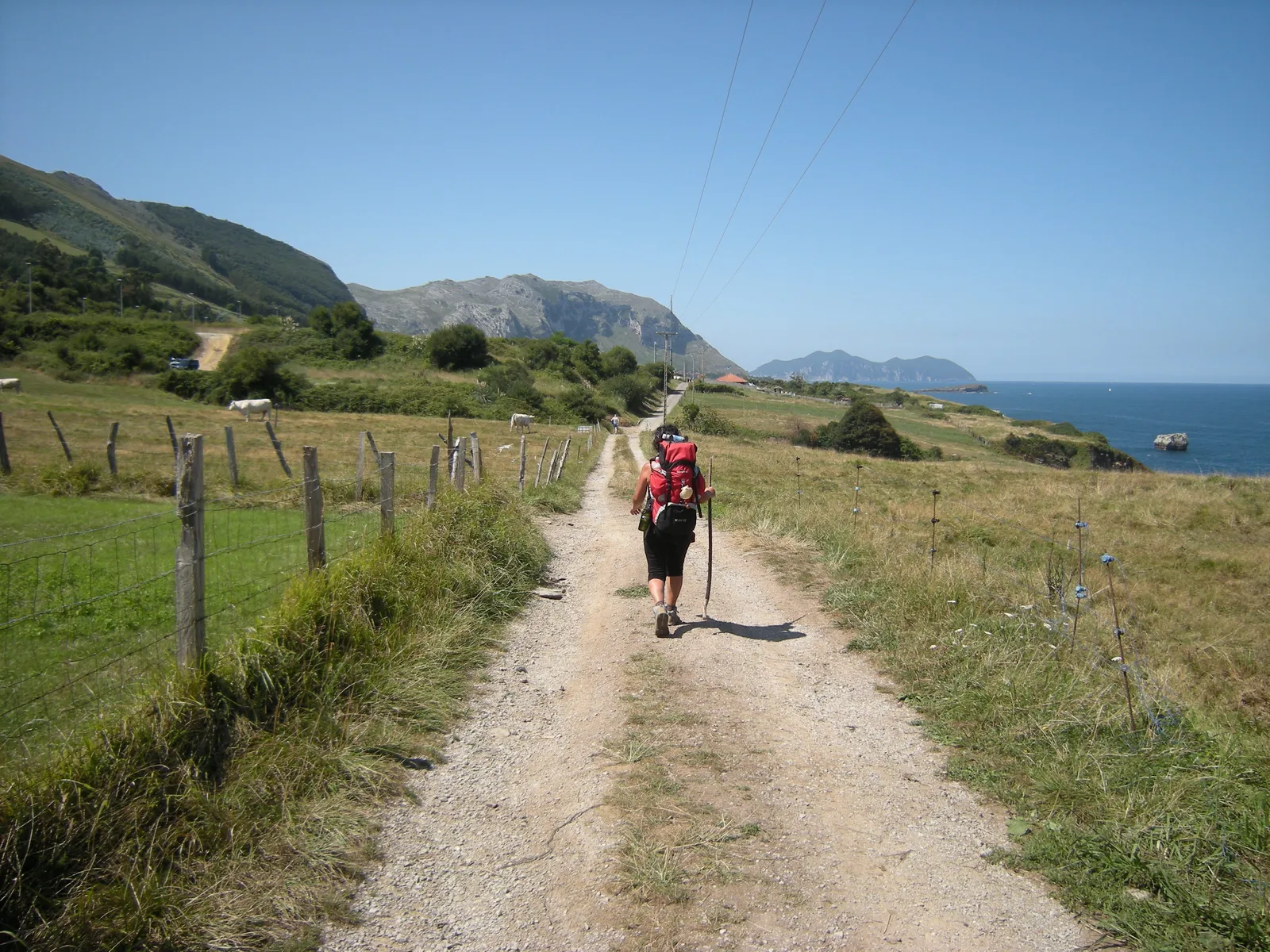
Photo: José Antonio Gil Martínez, CC BY 2.0, via Wikimedia Commons
- Distance
- 820 km (510 miles)
- Country
- Spain
- Difficulty
- Moderate to challenging
- Type of trip
- Hiking trail
The Camino del Norte follows Spain’s north coast to Santiago de Compostela. It starts at Irún, on the border with France, and goes through San Sebastián, Bilbao, Santander and Gijón. At Ribadeo it leaves the sea and heads inland across Galicia, and at Arzúa it joins the Camino Francés for the last stretch into Santiago. It’s roughly 820 km and most people take about five weeks.
It’s quieter and hillier than the Francés. In 2024 about 21,400 pilgrims finished it, the sixth busiest of the routes. Hostels can be 20 to 35 km apart, where on the Francés there’s one every 4 to 10 km, so plan your days round the beds. You sleep in albergues (pilgrim hostels), guesthouses and hotels, and Galicia has its own network of public albergues. There’s no permit. For the Compostela, the certificate from the Pilgrim’s Office in Santiago, you need to walk at least the last 100 km and get your credencial (pilgrim passport) stamped at the start and end of each stage. A lot of people start at Vilalba, 116 km out. Since 2015 the route has been part of the UNESCO World Heritage listing for the Routes of Santiago.
Highlights along the way
- Irún and the Bidasoa: You start at the bridge over the Bidasoa, on the border with France. Some people start further back in Hendaye or Bayonne. The first stage, to San Sebastián, is 24.7 km.
- Bilbao: The route goes right through the city. Leaving it, the official way to Portugalete is 19.2 km, or there’s a 13 km option along the river.
- The boat from Laredo to Santoña: A short boat ride from El Puntal at Laredo takes you over to Santoña, with long beaches on both sides. In winter the boat doesn’t run and you go inland through Colindres, which adds 4.1 km.
- The Eo estuary at Ribadeo: The Os Santos bridge, built in 1987, takes you over the estuary from Asturias into Galicia. Before it, pilgrims took a boat or went round by Vegadeo or the bridge at Abres. From here the route turns inland.
- Sobrado dos Monxes: The monastery is the end of the longest day on the main route, 39.8 km from Baamonde. The next day is 22 km to Arzúa, where you join the much busier Francés.
Distance
Roughly 820 km (510 miles) from Irún to Santiago. The Gronze guide splits Irún to Arzúa into 34 stages adding up to 782 km, and it’s about 38 km more from Arzúa to Santiago. Stages run from 11 km (Lezama to Bilbao) to 39.8 km (Baamonde to Sobrado dos Monxes). From Ribadeo, where you enter Galicia, it’s about 190 km, and from Vilalba 116 km, just over the minimum for the Compostela.
Best time to go
Being near the sea, it stays a lot cooler in summer than the Francés, but July and August are also when most pilgrims finish, so beds go quickest then. The boat from Laredo to Santoña doesn’t run in winter (Gronze, November 2026), so allow for the detour. For the public albergues in Galicia, check the Xunta de Galicia’s site, caminodesantiago.gal, before you go.
More journeys in Spain
- Camino De Santiago · Julia & James
- France Spain 2024 · Greg
- Cycling the Basque Region · Lucy
- Sailing Around The World · Adam
- Road trip tenerife · Josephine
- Camino De Santiago · Ruth
Flyby films from Spain
- Tenerife · Josephine
- The Great Escape · saeunn
- Bilbao to....? · Greg
- León, Mediterranean disease · Eike
More routes like this
- Camino Primitivo · about 320 km (199 miles) · Spain
- Camino Portugués on foot · 241 km (150 miles) · Portugal, Spain
- Camino Sanabrés · about 362 km (225 miles) · Spain
- Ruta del Cares on foot · 22 km (14 miles) · Spain
- Ruta de las Xanas on foot · 9 km (6 miles) · Spain
- GR 11 (Senda Pirenaica) on foot · about 840 km (520 miles) · Spain, Andorra