St. Olav's Way, Oslo to Trondheim
- Distance
- about 643 km (400 miles)
- Country
- Norway
- Difficulty
- Moderate to challenging
- Type of trip
- Hiking trail
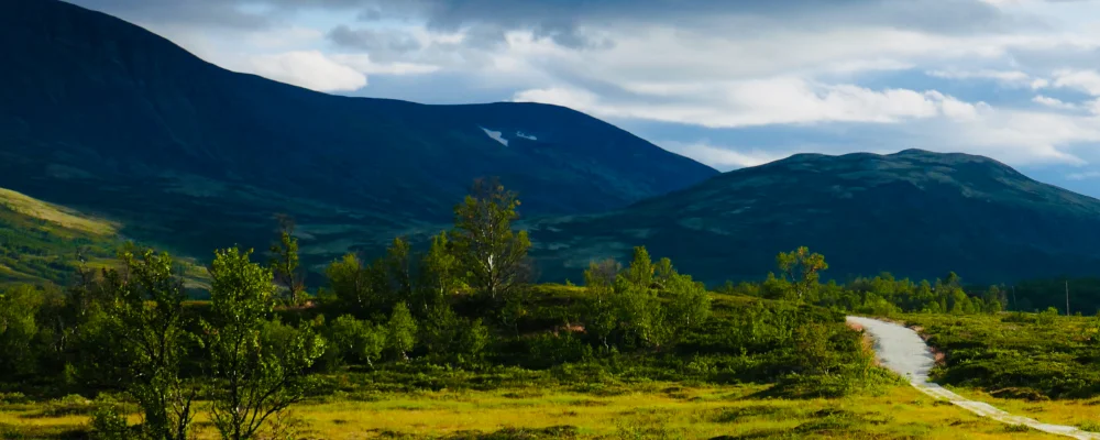
St. Olav’s Way is a network of nine pilgrim routes that all end at Nidaros Cathedral in Trondheim, built over the grave of King Olav II, who died at the Battle of Stiklestad in 1030. This page follows the main one, Gudbrandsdalsleden: 643 km from Oslo, through the Gudbrandsdalen valley, over the Dovrefjell mountains and down through Oppdal to Trondheim. It was the main route to Nidaros in the Middle Ages.
The official site reckons on up to 32 days, at around 20 km a day. Soon after Oslo the trail splits to run either side of Lake Mjøsa, and the two branches meet again at Lillehammer. You sleep in pilgrim hostels, simple cabins or hotels. Many have only a few beds, so book a few days ahead. Buy a pilgrim passport (50 NOK) and collect stamps along the way. If you walk at least the last 100 km, the pilgrim reception in Trondheim gives you the Olav Letter.
Highlights along the way
- Lake Mjøsa: Norway’s largest lake, 117 km long. The route passes Hamar, where the medieval cathedral was burnt by the Swedish army in 1567, and Lillehammer.
- Dovrefjell: the mountains between eastern Norway and Trøndelag. Mountain inns housed pilgrims here from the Middle Ages. There are wild reindeer, and musk oxen brought over from Greenland in 1932.
- Oppdal: more than 700 pagan grave mounds at Vang. In the Middle Ages Oppdal was a stop for pilgrims on their way to Olav’s shrine.
- Pilgrim centres: six regional centres along the way, in Oslo, Gran, Hamar, Hundorp, Dovrefjell and Trondheim, for advice and passport stamps.
- Nidaros Cathedral: built from 1070 to 1300, the northernmost medieval cathedral in the world. Olsok, Olav’s feast day on 29 July, is the big day for pilgrims.
Distance
About 643 km (400 miles) from Oslo to Trondheim on Gudbrandsdalsleden. St. Olavsleden, the route from Selånger near Sundsvall in Sweden, is 580 km.
If you have a GPX of this route from its official site or a planning app, open it in our free GPX viewer to see the distance, the climb and the height profile. The file stays on your device.
Best time to go
1 June to 1 September, the season the pilgrim office recommends. The section over Dovrefjell is officially closed until 10 June, because of snow, closed hostels and river bridges that aren’t in place yet, and to protect reindeer calving. Musk oxen can be dangerous, so keep well clear of them.
More journeys in Norway
- Cycle Exped to Japan via Finland · Mark
- The History of the Sea · saeunn
Flyby films from Norway
- The Great Escape · saeunn
- Stage 6 ETAP 1 September 6 2004 · Mark
More routes like this
- Dingle Way · 163 km (101 miles) · Ireland
- Nakasendo Trail · 8 km (5 miles) · Japan
- Albsteig (HW1) on foot · about 360 km (224 miles) · Germany
- Alta Via 1 trek · about 115 km (72 miles) · Italy
- Rennsteig on foot · 169 km (105 miles) · Germany
- Altmühltal-Panoramaweg on foot · about 200 km (124 miles) · Germany