Nakasendo Trail
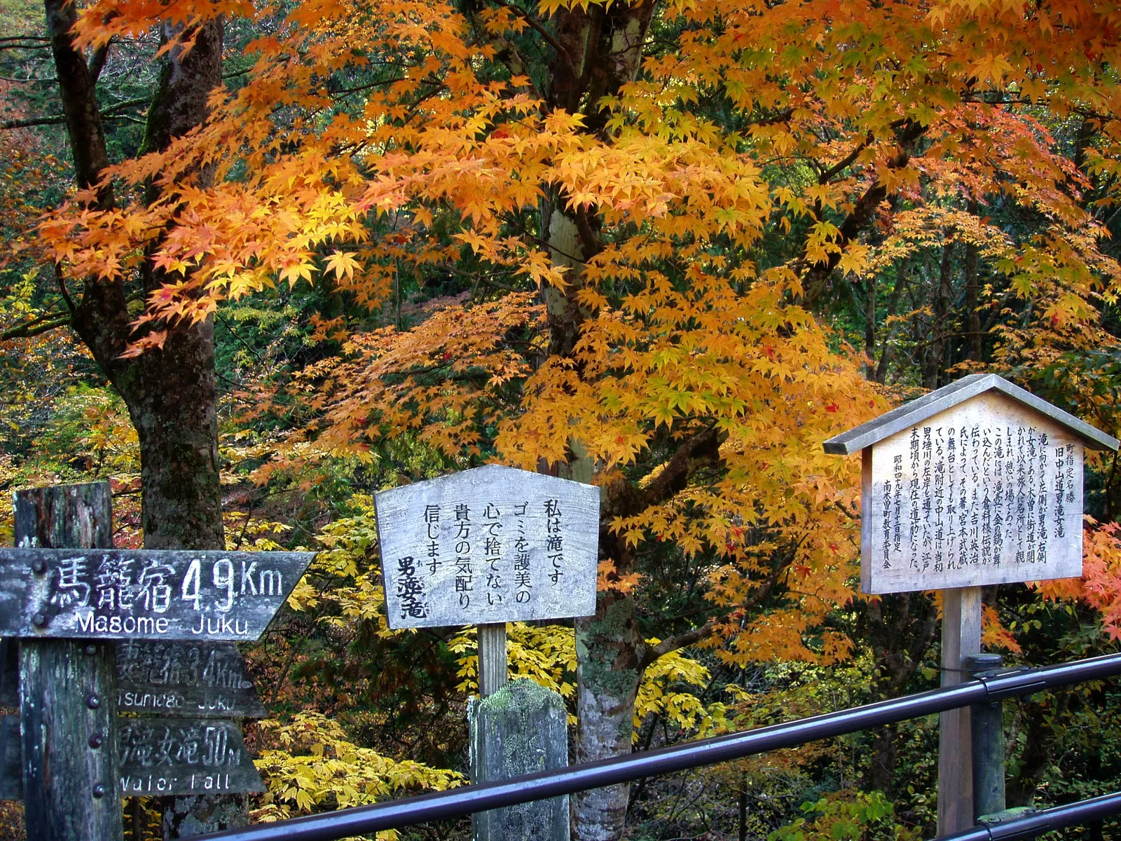
Photo: Daderot, CC BY-SA 3.0, via Wikimedia Commons
- Distance
- 8 km (5 miles)
- Country
- Japan
- Difficulty
- Easy to moderate
- Type of trip
- Hiking trail
The Nakasendo was one of the five official roads of the Edo period, and one of two that linked Edo, now Tokyo, with Kyoto. It went inland through the mountains of central Honshu for about 534 km, with 69 post towns where travellers stopped for the night. Much of it now lies under main roads, and most walkers come for the Kiso valley in Nagano. The best-known part is the 8 or 9 km between Tsumago and Magome at the southern end of the valley, which takes two to three hours. Some people walk further and link several post towns over a few days. It's a walk on old stone paths, forest tracks and quiet lanes, not a mountain trek.
You sleep in the post towns, in small inns and guesthouses. Most people walk south from Tsumago to Magome. From late March to the end of November you can send a bag between the tourist information centres in the two villages. In November 2026 Nagano's official tourism site listed it at 1,000 yen a bag, dropped off between 8:30 and 11:30 and collected after 13:00. Trains on the JR Chuo line stop at Nagiso for Tsumago and Nakatsugawa for Magome, and buses run from both stations to the villages.
Highlights along the way
- Narai-juku: The 34th of the 69 post towns, and the highest on the Kiso road. Its street of Edo-period houses is a protected district about 1 km long.
- Tsumago: The 42nd post town. Local people began restoring it in 1968 and agreed that no house should be sold, rented out or pulled down. The waki-honjin, the second inn kept for officials, is now a museum.
- Odaki and Medaki: Two waterfalls by the path on the Tsumago side of the pass, 10 m and 12 m high. The story goes that the swordsman Miyamoto Musashi trained here.
- Ichikokutochi teahouse: About halfway, a mid-Edo building where a volunteer serves walkers tea. Magome Pass, at 790 m, is about a kilometre further on, with a stone carved with a haiku by Masaoka Shiki.
- Magome: The main street climbs a hillside on stone paving, with views of Mount Ena. The writer Shimazaki Toson grew up here. South of the village, the Jikkyoku Pass has 840 m of old stone paving on the way down to Ochiai, the 44th post town.
Distance
Tsumago to Magome, the walk most people do, is about 8 km (5 miles) by Nagano's tourism site and about 9 km (5.6 miles) by the Magome tourist association's, and takes two to three hours. The Kiso road, the 11 post towns from Niekawa to Magome, is about 80 km (50 miles). The whole Nakasendo was about 534 km (332 miles), from the Sanjo Ohashi bridge in Kyoto to Nihonbashi in Edo.
Best time to go
The path is open all year. There can be snow from December to March, and the bag service stops over the winter. There are no street lights, so the Magome tourist association asks you to set off by 15:00 in summer and 14:00 in winter. There's nowhere to shelter from rain between the villages, so carry a raincoat. They also suggest a bear bell, which you can buy or rent at the information centre, and insect repellent in summer. Check kiso-magome.com and go-nagano.net for bus times and the bag service before you go.
More journeys in Japan
- Japan 2026 · David
- Japan Bike: Nagasaki to Nemuro · St John
- Japan Adventure · Keith & Frances
Flyby films from Japan
- Nagusa Itsukushima Shrine Loop · Gio Brecci
- Ashikaga Hills Loop · Gio Brecci
- Hiking Day: Mount Yakedake · David
More routes like this
- Kumano Kodo on foot · about 38 km (24 miles) · Japan
- Pembrokeshire Coast Path · 299 km (186 miles) · Wales
- Westerborkpad on foot · about 340 km (211 miles) · Netherlands
- Overland Track · 65 km (40 miles) · Australia
- Snowman Trek · about 350 km (217 miles) · Bhutan
- Camino Portugués on foot · 241 km (150 miles) · Portugal, Spain