Altmühltal-Panoramaweg on foot
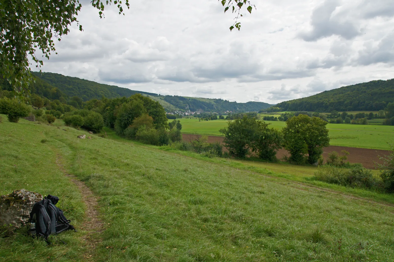
Photo: Allie_Caulfield, CC BY 2.0, via Wikimedia Commons
- Distance
- about 200 km (124 miles)
- Country
- Germany
- Difficulty
- Moderate
- Type of trip
- Hiking trail
The Altmühltal-Panoramaweg follows the Altmühl through the Altmühltal Nature Park in Bavaria, about 200 km from Gunzenhausen, by the Altmühlsee, to the Ludwigsplatz in the old town of Kelheim on the Danube. It mostly stays up on the valley sides, over juniper heath, limestone crags and woodland, and drops down into the towns: Treuchtlingen, Pappenheim, Solnhofen, Eichstätt, Kipfenberg, Beilngries, Riedenburg and Essing. The nature park splits it into 15 sections of 6.5 to 28 km that you can walk one at a time or join up. German Wikipedia gives an eight-day plan for fit, practised walkers, with days of 11.3 to 31.9 km. Most sections are rated medium, and nearly all of them have a steep climb out of the valley somewhere.
It opened in 2005, was certified as a Qualitätsweg Wanderbares Deutschland a year later and is one of the Top Trails of Germany. Yellow and red signs mark it, with distances on the signposts. Many sections have a bus or train at both ends, so you can walk it as day trips. You sleep in hotels and guesthouses in the valley towns, and the nature park sells packages with accommodation and luggage transport. 27 loop walks, the Schlaufenwege, branch off the main route. It's a walking route: a few narrow sections through nature reserves are closed to bikes.
Highlights along the way
- Steinerne Rinne: Near Wolfsbronn, on the 28 km section from Spielberg, a spring runs along the top of a tufa ridge it has built itself, 128 m long and up to 160 cm high. It still grows a few centimetres a year.
- Solnhofen and the Zwölf Apostel: The quarries here produce Solnhofen limestone slabs, holding fossils 140 million years old, Archaeopteryx among them; the Museum Solnhofen has a collection. Just past the village, twelve limestone crags, once reefs in a Jurassic sea, stand out of the dry grassland.
- Eichstätt: Shortly after Dollnstein you pass the Burgsteinfelsen, a climbing crag counted among Bavaria's finest geotopes. Above Eichstätt there's a fossil quarry where amateurs can dig, and the Neuer Weg path looks down over the baroque old town.
- Gungoldinger Wacholderheide: The nature park's best juniper heath, a reserve of nearly 70 ha between Walting and Kipfenberg. The Arnsberger Leite comes straight after it, but see the closure below.
- Schloss Prunn and Weltenburg: After Riedenburg the path climbs through the Klamm, a steep stretch on steps past rocks, to a viewpoint over Prunn, a castle on a limestone crag first recorded in 1037. On the last day you can cross by Zille, a wooden ferry boat, to Kloster Weltenburg and take a boat through the Danube gorge to Kelheim, or walk along the Danube instead.
Distance
About 200 km (124 miles) in all; the nature park's 15 sections add up to 202.5 km (126 miles). They range from 6.5 km (4 miles), Pappenheim to Solnhofen, to 28 km (17 miles), Spielberg to Treuchtlingen, which the park reckons at 8 hours.
Best time to go
The nature park doesn't name a best season. On 3 November 2026 the path over the Arnsberger Leite, between Arnsberg and Böhming, was closed for rock safety work expected to last until the end of March 2027; a signed diversion of about 5 km follows the Schmetterlingsweg (path 2). The boats through the Danube gorge between Kloster Weltenburg and Kelheim run from mid-March to early November, but not when the Danube is too low; check the day's sailings at schifffahrt-kelheim.de, or walk the Danube path into Kelheim. Check the notices on each section's page at naturpark-altmuehltal.de before you go.
More journeys in Germany
- Cycle Exped to Japan via Finland · Mark
- The Great Spirits Route · johan
- UK to Georgia by Bike · Simon & Lucy
- Denmark! · Christopher
- Istanbul To Ashby · Harry
- Beer hike · Christopher
Flyby films from Germany
- Dag 8: Schongau - Innsbruck · johan
- Stuttgart-Amsterdam · JereFü
- St Malo to Vienna · Lucy
- The Start · Christopher
More routes like this
- Austrian Way of St James · about 750–800 km (466–497 miles) · Austria, Germany
- Moselcamino on foot · about 160 km (99 miles) · Germany
- Schluchtensteig on foot · 119 km (74 miles) · Germany
- E5 from Oberstdorf to Meran on foot · about 120 km (75 miles) · Germany, Austria, Italy
- Harzer Hexenstieg on foot · about 94 km (58 miles) · Germany
- Munich to Venice on foot (Traumpfad) on foot · about 550 km (340 miles) · Germany, Austria, Italy