Albsteig (HW1) on foot
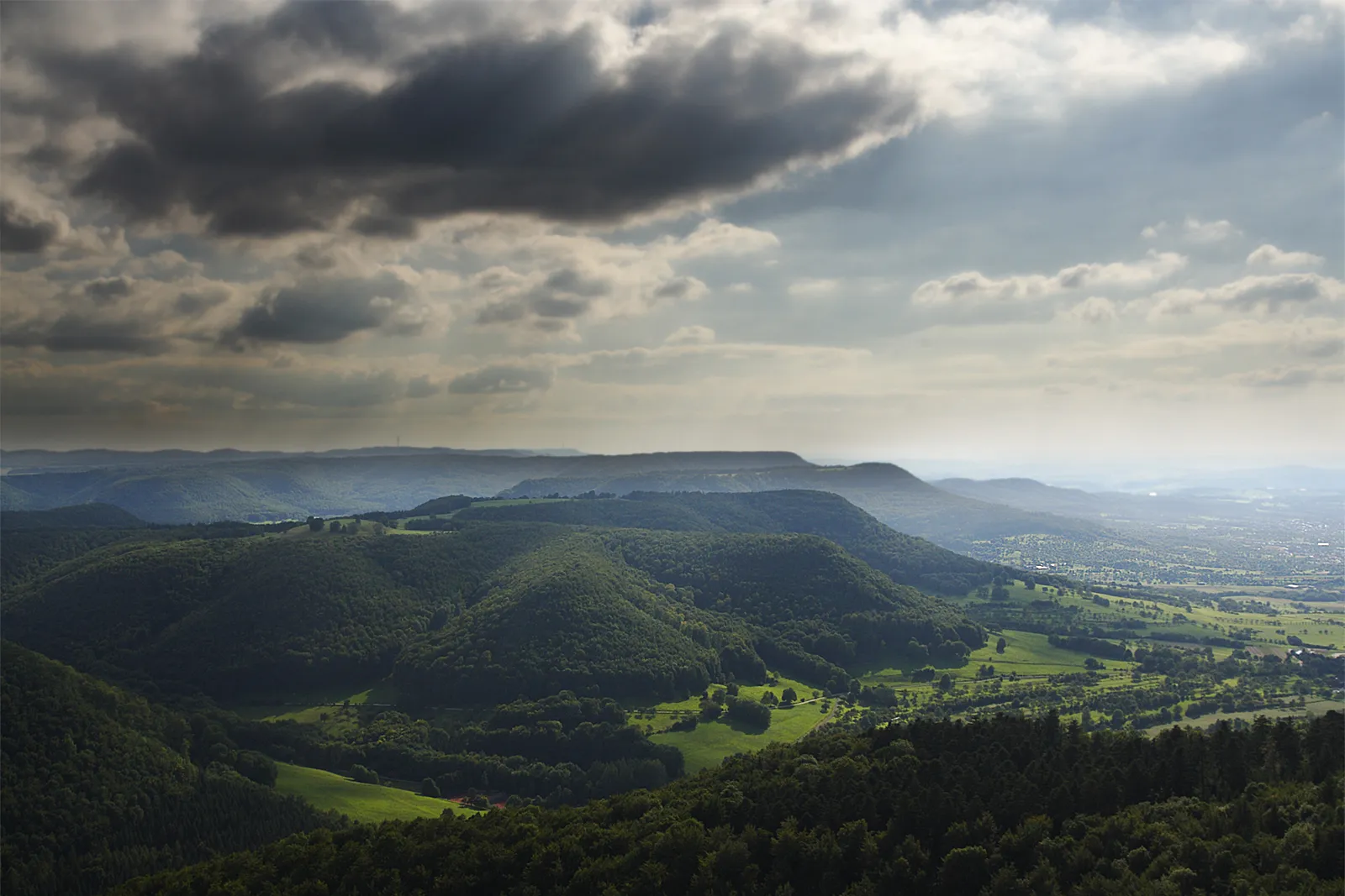
Photo: Ustill, CC BY-SA 3.0 de, via Wikimedia Commons
- Distance
- about 360 km (224 miles)
- Country
- Germany
- Difficulty
- Moderate to challenging
- Type of trip
- Hiking trail
The Albsteig is the HW1, the oldest main trail of the Schwäbischer Albverein (Swabian Alb Association), also called the Schwäbische-Alb-Nordrand-Weg. It runs about 360 km from Donauwörth in Bavaria to Tuttlingen, following the Albtrauf, the steep, wooded northern edge of the Swabian Alb. The first stages, round the edge of the Ries and the Härtsfeld, are mostly forest and gently rolling country. After Aalen it gets steeper, with one climb after another to viewpoints, castle ruins and the Albverein's towers and huts, much of it on natural paths. The tourist board splits it into 16 stages of 11.9 to 27.8 km and rates seven of them as hard.
A red triangle marks the way, its point showing the direction of Tuttlingen. It has been a certified Qualitätsweg Wanderbares Deutschland since 2009 and has been sold as the Albsteig, one of the Top Trails of Germany, since 2012. You sleep in hotels, guesthouses and the odd Albverein hostel, such as the Roßberghaus. The tourist board has an accommodation search by stage and partners who sell walking holidays with luggage transport. Not every stage end is easy to reach: the Albverein warns that Mönchsdeggingen has poor public transport. It's a footpath; cyclists have the Alb-Crossing, a separate route along the same edge.
Highlights along the way
- Harburg: The first stage, 17.4 km from Donauwörth, follows the Wörnitz, crosses it on an old stone arch bridge at Wörnitzstein and ends at the castle above Harburg.
- Rosenstein: A hill above Heubach with rock caves and a castle ruin, at the end of stage 5. Earlier the same day you cross the Volkmarsberg, with its juniper heath, an Albverein tower and a hut.
- Ruine Reußenstein and the Randecker Maar: The ruin, built around 1270, sits on a rock at 760 m above the Neidlinger Tal. Not far on, the path goes through the Randecker Maar, a volcanic vent about 17 million years old and some 1.2 km across.
- Schloss Lichtenstein and the Nebelhöhle: The castle stands at 817 m on the edge above the Echaz valley. Count Wilhelm of Württemberg built it between 1840 and 1842, taken with Wilhelm Hauff's 1826 novel Lichtenstein. The Nebelhöhle, a show cave just along the trail, is 813 m long, with 450 m open to visitors.
- Lemberg: At 1,015 m the highest hill on the Swabian Alb, near the end of the walk. The Albverein's 33 m steel tower gets you above the trees, and on clear days you can see the Alps.
Distance
About 360 km (224 miles) in all, by the Albverein's figure; the tourist board says more than 350 km and German Wikipedia 365 km. The tourist board's 16 stages are 11.9 to 27.8 km (7 to 17 miles), 13 of them over 20 km. It adds up to 10,471 m of climbing and 10,232 m of descent, between 379 m at the lowest and 1,015 m on the Lemberg.
Best time to go
Neither the tourist board nor the Albverein names a best season. The trail never goes above 1,015 m, but it climbs and drops most of the day, and the huts on the Volkmarsberg and the Boßler only open at weekends, so carry food and water. German Wikipedia notes that the Uracher Wasserfall, which you pass after Bad Urach, ran dry in early October 2026. When we checked on 3 November 2026, the Albverein's stage notes showed a diversion for tree felling between Jungingen and the Raichberg, with no way up the Himberg. Check wege.albverein.net and schwaebischealb.de before you go.
More journeys in Germany
- Cycle Exped to Japan via Finland · Mark
- The Great Spirits Route · johan
- UK to Georgia by Bike · Simon & Lucy
- Denmark! · Christopher
- Istanbul To Ashby · Harry
- Beer hike · Christopher
Flyby films from Germany
- Dag 8: Schongau - Innsbruck · johan
- Stuttgart-Amsterdam · JereFü
- St Malo to Vienna · Lucy
- The Start · Christopher
More routes like this
- Malerweg on foot · about 116 km (72 miles) · Germany
- Noaberpad on foot · about 463 km (288 miles) · Netherlands, Germany
- Pfälzer Weinsteig on foot · about 172 km (107 miles) · Germany
- Altmühltal-Panoramaweg on foot · about 200 km (124 miles) · Germany
- Hermannsweg on foot · about 163 km (101 miles) · Germany
- E5 from Oberstdorf to Meran on foot · about 120 km (75 miles) · Germany, Austria, Italy