Rennsteig on foot
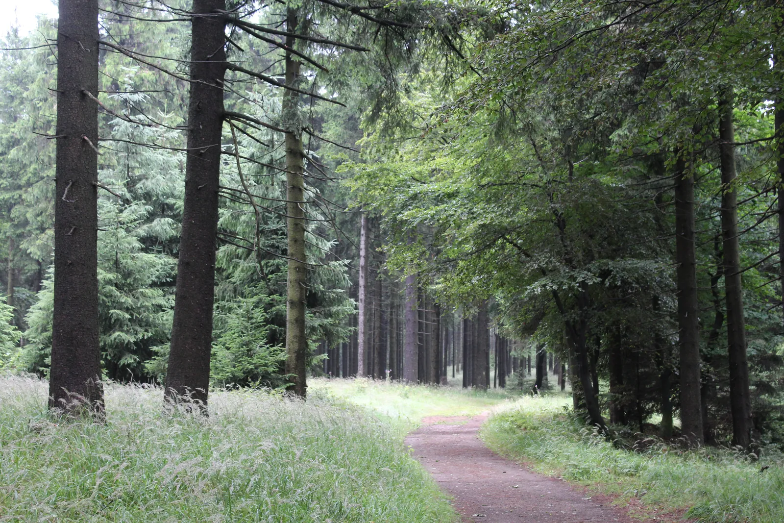
Photo: Dguendel, CC BY 4.0, via Wikimedia Commons
- Distance
- 169 km (105 miles)
- Country
- Germany
- Difficulty
- Moderate
- Type of trip
- Hiking trail
The Rennsteig follows the ridge of the Thuringian Forest and the Thuringian Slate Mountains, with a last stretch in the northern Frankenwald. It starts at Hörschel near Eisenach, on the Werra, and ends at Blankenstein on the upper Saale. The official site gives 169.3 km and splits it into 8 stages, so a week and a bit for most people. It's waymarked with a white R. You sleep in hotels, guesthouses and inns, and the official site lists more than 300 places. Some are on the trail itself, but many stages end with a walk of 2 to 3 km down to a village. Wild camping isn't allowed, nor is sleeping in the trail shelters, and the campsites are mostly down in the valleys. Tour operators will carry your bags from one night to the next. You don't need a permit.
It's the oldest long-distance trail in Germany, and Wikipedia puts the number of walkers at about 100,000 a year. A document from Schmalkalden mentions it in 1330. In the GDR years the border cut it off, and it reopened on 28 April 1990 with a walk by people from both sides. Walkers greet each other with "Gut Runst". The custom is to pick up a stone from the Werra at Hörschel and throw it into the river at Blankenstein.
Highlights along the way
- Hörschel: The start, where the Werra flows past. Hörschel has a station on the Eisenach line, and there's a box of spare stones for the custom at the start.
- Großer Inselsberg: At about 917 m the best-known summit at the northern end, with a youth hostel, two inns and a 21 m lookout tower. On a clear day you can see the Brocken in the Harz, 106 km away.
- Ebertswiese: A nature reserve with a mountain hotel and a small lake you can swim in. Close by is the Spitterfall, 19 m high and described as the highest natural waterfall in Thuringia.
- Oberhof: The winter sports town. The trail passes the Rondell at 826 m and the Rennsteiggarten, a botanical garden of mountain plants, and at Grenzadler there's the Rennsteigarena and a bus down to the town.
- Großer Beerberg and Schneekopf: Plänckners Aussicht looks out towards Suhl from just below the top of the Großer Beerberg. The summit itself is a protected raised bog and you can't go onto it. On the Schneekopf, a tower opened in 2008 has a platform at 1,001 m.
Distance
169.3 km (105 miles) from Hörschel to Blankenstein. The official 8 stages run from 14.3 km to 27.8 km. Wikivoyage gives about 3,750 m of climbing and 3,500 m of descent, and Wikipedia puts the highest point on the Großer Beerberg at 983 m, with Hörschel the lowest at 196 m. Both ends have trains, Hörschel towards Eisenach and Blankenstein towards Saalfeld. The Rennsteig-Radweg is a separate cycle route of 195 km, marked with a green R and a cyclist, which shares parts of the walking trail and turns off onto parallel tracks elsewhere. The walking trail isn't the cycle route, so don't plan a bike trip on it.
Best time to go
Wikivoyage suggests May to September, with October often still fine. Most of the trail is at about 700 to 800 m, so it's wetter than the lowland round it and patches of snow can last into March or April. In winter, once there's about 30 cm of snow, long sections are groomed as cross-country ski tracks. Walking is usually still allowed but can be limited in places. Check the official site, rennsteig.de, for stages and places to stay before you book.
More journeys in Germany
- Cycle Exped to Japan via Finland · Mark
- The Great Spirits Route · johan
- UK to Georgia by Bike · Simon & Lucy
- Denmark! · Christopher
- Istanbul To Ashby · Harry
- Beer hike · Christopher
Flyby films from Germany
- Dag 8: Schongau - Innsbruck · johan
- Stuttgart-Amsterdam · JereFü
- St Malo to Vienna · Lucy
- The Start · Christopher
More routes like this
- Lechweg on foot · about 125 km (78 miles) · Austria, Germany
- Saar-Hunsrück-Steig on foot · about 415 km (258 miles) · Germany
- Westweg on foot · about 285 km (177 miles) · Germany
- Eifelsteig trail · about 313 km (195 miles) · Germany
- Hermannsweg on foot · about 163 km (101 miles) · Germany
- Albsteig (HW1) on foot · about 360 km (224 miles) · Germany