Dingle Way
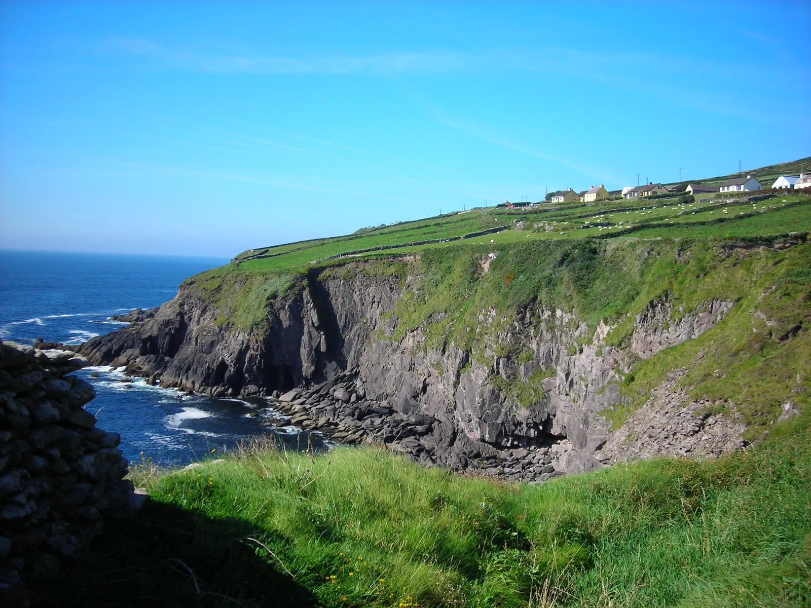
Photo: Jim, CC BY 2.0, via Wikimedia Commons
- Distance
- 163 km (101 miles)
- Country
- Ireland
- Difficulty
- Moderate to challenging
- Type of trip
- Hiking trail
The Dingle Way, Slí Chorca Dhuibhne in Irish, is a National Waymarked Trail that loops round the Dingle Peninsula in County Kerry. It starts and finishes in Tralee, by the Ashe Memorial Hall at the end of Denny Street, and goes by way of Inch, Annascaul, Dingle town, Slea Head, Mount Brandon and Castlegregory. Sport Ireland grades it strenuous and gives it 7 days. The trail's own website splits it into eight stages. Follow the yellow arrows on a black background. It isn't a wild mountain trail for most of its length. 76 km, or 47% of the Way, is on local roads, and there's over 20 km of walking on beaches.
You sleep in B&Bs and guesthouses in the towns and villages. There's also a youth hostel at Dún Chaoin and a campsite at Inch. There are no permits. Dogs aren't allowed on the Way. Tralee has trains from Dublin Heuston and from Cork via Mallow, and Local Link buses run round the peninsula, so you can do it in sections.
Highlights along the way
- Inch and Annascaul: The second stage goes over the western side of the Slieve Mish Mountains with views of the beach and spit at Inch, then drops to Annascaul, home of the Antarctic explorer Tom Crean.
- Minard Castle: Past Annascaul the Way comes down to a quiet beach beside the ruin of Minard Castle, a 16th-century tower house built by the Fitzgeralds, looking across Dingle Bay.
- Slea Head: West of Dingle the trail runs for 7 km round the foot of Mount Eagle, above Dún Beag promontory fort and through Fán, one of the densest clusters of ancient sites in Ireland, until the Blasket Islands come into view. Stock up at Ventry, as there's no shop in Dún Chaoin. Parts of this stage are on the Slea Head road itself, which is busy, with nowhere to step off when cars come.
- Mount Brandon: The hardest stage, 24 km from Feothanach to Cloghane, climbs to a saddle between Más an Tiompáin (763 m) and Piaras Mór (748 m). At 640 m it's the highest point on any of Ireland's National Waymarked Trails. There's an ogham stone at the top, then a steep descent to Brandon pier.
- Fermoyle Strand: After Cloghane you walk almost the whole of Fermoyle Strand, 11 km of sand, and on round the Magharees, home of the rare natterjack toad, to Castlegregory.
Distance
162.9 km (101 miles) in all, according to Sport Ireland, with about 2,590 m of climbing. The eight stages on the Dingle Way's own website run from 17 to 29 km a day and add up to 178 km. The stretch between Tralee and Camp is walked twice, once at each end of the loop.
Best time to go
The Way is open all year apart from one day, but the weather matters most on the Brandon stage. The trail's website says that if the weather is poor and visibility bad you should think about getting transport to Cloghane instead, as it's easy to get lost up there and in one place there's a 450 m drop into the sea. Plenty of the paths get wet and muddy. On Fermoyle Strand a high spring tide can push you up on to the dunes. In summer the hedges on the narrow lane down to Clogher beach get overgrown. The closed day is 28 February, agreed each year with the landowners, as parts of the Way cross private land. That was Sport Ireland's notice in November 2026, so check the trail page on sportireland.ie before you go.
More journeys in Ireland
- Euro Trip 2024 · mmalty
- The Rick Trip · Phil
- Ireland To Home. · Phil
Flyby films from Ireland
- Heading back to France · Phil
- Glenveagh National Park Day Trip · Phil
- THE ATLANTIC · SY
More routes like this
- Wicklow Way · about 128 km (80 miles) · Ireland
- Kerry Way · 232 km (144 miles) · Ireland
- Camino de Invierno · 239 km (149 miles) · Spain
- Long Trail (Vermont) · 438 km (272 miles) · USA
- Drakensberg Grand Traverse · 220–240 km (137–149 miles) · South Africa, Lesotho
- Austrian Way of St James · about 750–800 km (466–497 miles) · Austria, Germany