Loch Lomond by kayak
- Distance
- Varies with your plan. For scale, the loch is about 36 km long and up to 8 km wide. Balmaha to Inchcailloch is a short crossing.
- Country
- Scotland
- Difficulty
- Easy to moderate
- Type of trip
- Kayak & canoe
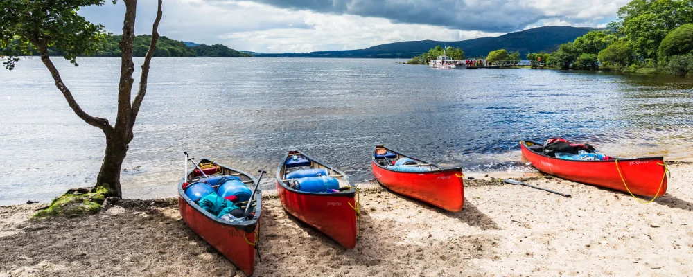
Loch Lomond has no official canoe trail. It’s a paddling area: you launch from one of the car parks or slipways and plan your own day trip or island-hopping overnight. It is the largest lake in Great Britain by surface area, about 36 km long from Balloch in the south to Ardlui at the head, and up to 8 km wide. The Highland Boundary Fault crosses the loch. The southern end is wide and dotted with islands, and the north is a narrow trench up to 190 m deep between steep hills. The loch is part of Loch Lomond and The Trossachs National Park, and its southern shore is about 23 km from Glasgow.
The park lists launch points at Milarrochy Bay, Sallochy and Rowardennan on the east shore, at Luss, Tarbet and Inveruglas on the west, and the Duncan Mills Memorial Slipway and Duck Bay at Balloch. You share the water with ferries, waterbuses and powerboats. Boats may go up to 90 km/h on much of the loch, with an 11 km/h limit in sensitive areas. The loch has its own byelaws (Loch Lomond Byelaws 2023), so read them before you launch. Camping on much of the shore is controlled by Camping Management Zones: from March to September you need a permit to camp in them, or you use a campsite. The park is reviewing the camping byelaws. Its timetable has any changes taking effect from 1 March 2028, so check the current rules with the park before you go.
Highlights along the way
- Inchcailloch: a short paddle from Balmaha, part of the Loch Lomond National Nature Reserve. It has a nature trail, the ruins of a church and the MacGregor burial ground, and a small park campsite at Port Bawn in the south.
- The Highland Boundary Fault islands: the line between Lowland and Highland rock runs across Inchmurrin, Creinch, Torrinch and Inchcailloch and up over Conic Hill above Balmaha.
- Inchmurrin: the largest island in a body of fresh water in the British Isles, once the site of a 7th-century monastery. It’s privately owned.
- Inchconnachan: home to red-necked wallabies, brought here in the 1940s, which still live wild on the island.
- Ben Lomond: the most southerly Munro at 974 m, rising above the east shore. Land at Rowardennan and walk up the tourist path. About 30,000 people reach the summit each year.
Distance
Varies with your plan. For scale, the loch is about 36 km long and up to 8 km wide. Balmaha to Inchcailloch is a short crossing.
Best time to go
May to September, for the longest days and the mildest weather. Camping permits are needed in the Camping Management Zones from 1 March to 30 September. The park’s campsite on Inchcailloch is open from 1 March to 30 September. In November 2026 the park listed its Sallochy campsite as temporarily closed, so check with the park before you plan a night there. The loch is big enough for waves to build quickly in a wind, so check the forecast. In an emergency call 999 and ask for the police and the rescue boat.
More journeys in Scotland
- Scotland West Coast Train · Greg
- Cycling the Hebridean Way · Simon & Lucy
- Saga Sæunnar · saeunn
- Highland Adventure · Nick
- Christmas Ski Trip To Les Arcs · Peter
Flyby films from Scotland
- The Great Escape · saeunn
- Mallaig..and Train Back To Glasgow! · Greg
- THE ATLANTIC · SY
- Mallaig to Fort William · Simon & Lucy
More routes like this
- Hudson River by kayak · about 412 km (256 miles) · USA
- Sea kayaking the San Juan Islands · USA
- Norfolk Broads by kayak · England
- Kayaking the Great Barrier Reef Islands · Australia
- Sognefjord by kayak · Norway
- Whitsundays by kayak · Australia