Te Araroa Trail
- Distance
- about 3,000 km (1,900 miles)
- Country
- New Zealand
- Difficulty
- Very challenging
- Type of trip
- Hiking trail
Te Araroa ("the long pathway") runs about 3,000 km down both main islands of New Zealand, from Te Rerenga Wairua (Cape Reinga) to Motupōhue (Bluff). It opened in December 2011 and is run by the Te Araroa Trust. It isn’t all wilderness: about 40% crosses private land, and the trail links beaches, forest tracks, farm paths, alpine passes and some road walking. Most people walking the whole thing take four to six months, and about nine in ten go north to south.
The Trust asks walkers to register before they start. International walkers pay a trail contribution as part of the Te Araroa Pass; for New Zealanders it’s optional. Check the current fee with the Te Araroa Trust. For the full trail or the South Island, the pass includes a Trail Pass that covers DOC huts and campsites on the trail. More of those huts and campsites now have to be booked, and Trail Pass holders book them through the Trail App. The Whanganui River section is a Great Walk, so you book its huts or campsites in the Great Walks season. Booking the Tongariro Alpine Crossing is free and DOC recommends it. Watch the rivers: they can rise very quickly and stay impassable for days, so plan spare days and be ready to wait.
Highlights along the way
- Ninety Mile Beach: the first days from Cape Reinga, on a beach that is 88 km long, despite the name.
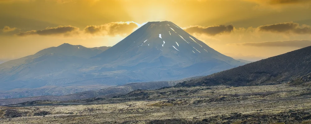
- Tongariro Alpine Crossing: 19.4 km over volcanic ground, with Red Crater at 1,886 m. From May to late October it has winter conditions, with snow, ice and avalanche risk.
- Whanganui River: a 145 km paddle by canoe or kayak from Taumarunui to Pipiriki, usually about five days. You hire a boat for it, and as a Great Walk it needs booking in season.
- Cook Strait and the Queen Charlotte Track: a ferry from Wellington to Picton, then a water taxi to Ship Cove to start the 71 km Queen Charlotte Track through the Marlborough Sounds.
- Stirling Point, Bluff: the southern end of the trail, on the coast of Southland.
Distance
About 3,000 km (1,900 miles) from Cape Reinga to Bluff, plus the ferry across Cook Strait. Each island takes 50 to 80 days.
If you have a GPX of this route from its official site or a planning app, open it in our free GPX viewer to see the distance, the climb and the height profile. The file stays on your device.
Best time to go
Most southbound walkers leave Cape Reinga between late October and early December and finish at Bluff before winter. Northbound walkers usually start from Bluff around late November. Check the Te Araroa trail alerts before and during your walk for closures, including tracks closed to protect kauri from dieback disease in the north.
More journeys in New Zealand
- Te Araroa · The long walk of Te Waipounamu
- Van Life In New Zealand · Nick
- Bikepacking Through NZ · Kate
Flyby films from New Zealand
- Sunday 15th · The long walk of Te Waipounamu
- Auckland-Santiago-Buenos Aires · Karen
- French Polynesia to Fiji · Adam
- North Island · Nick
More routes like this
- Routeburn Track · 33 km (21 miles) · New Zealand
- Abel Tasman Coast Track · about 60 km (37 miles) · New Zealand
- Tongariro Alpine Crossing on foot · 20 km (13 miles) · New Zealand
- Milford Track · 54 km (33 miles) · New Zealand
- Kepler Track · 60 km (37 miles) · New Zealand
- Pennine Way · about 431 km (268 miles) · England, Scotland