Routeburn Track
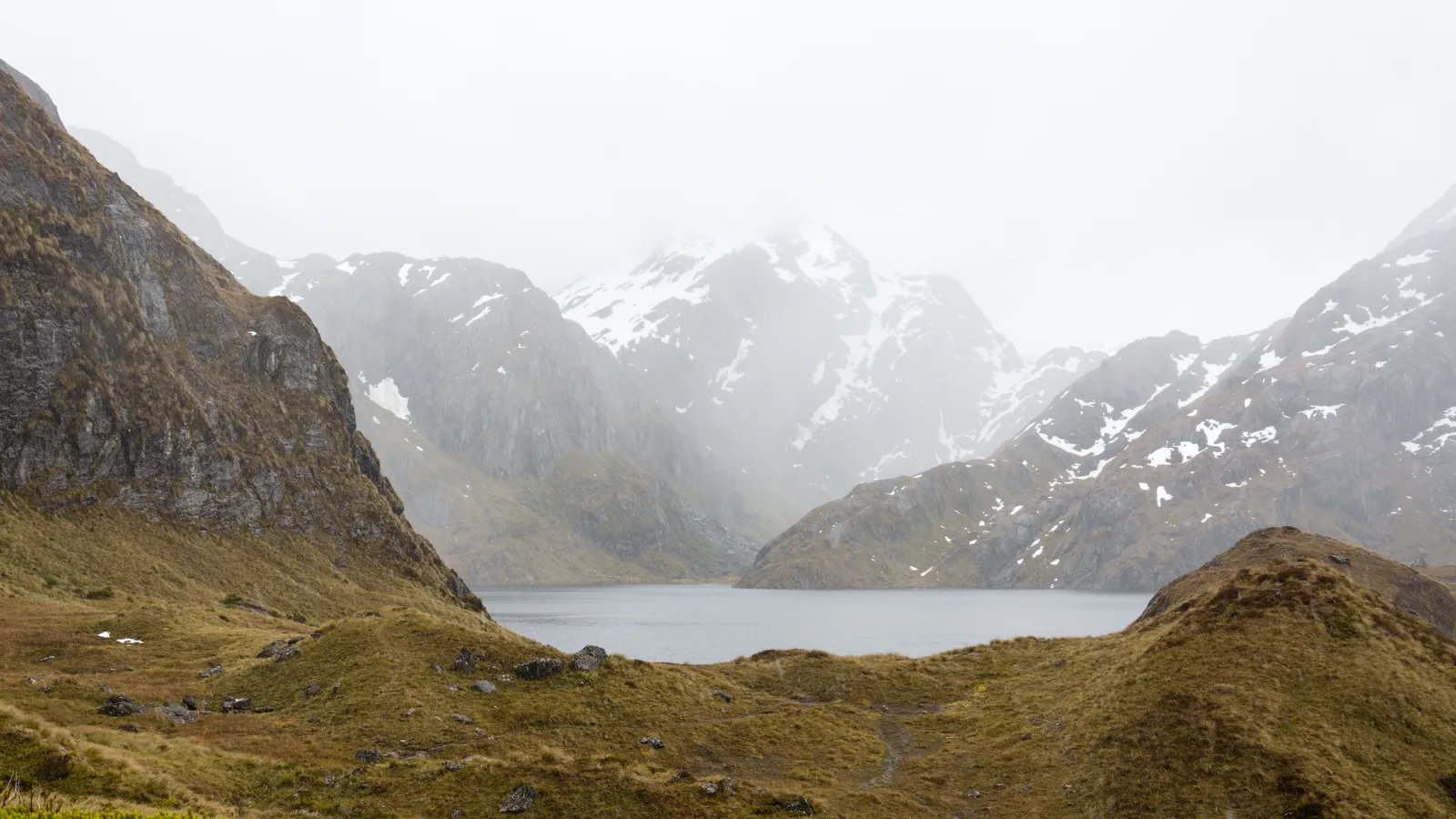
Photo: Christoph Strässler, CC BY-SA 2.0, via Wikimedia Commons
- Distance
- 33 km (21 miles)
- Country
- New Zealand
- Difficulty
- Moderate
- Type of trip
- Hiking trail
The Routeburn Track is one of New Zealand's Great Walks, looked after by the Department of Conservation (DOC). It crosses the Southern Alps between Routeburn Shelter, 25 km from Glenorchy at the head of Lake Wakatipu, and The Divide on the Milford road, 85 km from Te Anau. DOC gives it as 33 km one way and 2 to 4 days, and you can walk it in either direction. Most people take 3 days and 2 nights, sleeping at Routeburn Falls Hut and Lake Mackenzie Hut. The track runs through Mount Aspiring and Fiordland national parks, which meet at Harris Saddle.
There are three huts and two campsites, and in the Great Walks season you must book them. The huts have bunks with mattresses, heating, toilets, basic cooking facilities and cold water, and a DOC ranger stays at each. They don't have food, pots, showers or bedding, so you carry your own. For 2026/27 a bunk costs NZ$132 a night for an international adult and NZ$88 for a New Zealander. The two ends are 325 km apart by road, so arrange transport at both ends before you go. There's no mobile signal on the track.
Highlights along the way
- Routeburn Falls: From Routeburn Flats the track climbs 2.3 km through beech forest to Routeburn Falls Hut, which sits on the bushline beside the falls.
- Harris Saddle: Also called Tarahaka Whakatipu, at 1,255 m it's the highest point of the main track. A steep side trip up Conical Hill (1,515 m) takes 1 hr 30 min to 2 hr return and looks down the Hollyford Valley to Martins Bay and the Tasman Sea.
- Hollyford Face: After the saddle the track crosses an exposed mountainside with the Darran Mountains on the other side of the valley. DOC says this stretch is known for its alpine plants.
- Earland Falls: A waterfall 174 m high between Lake Mackenzie and Lake Howden. The track passes right under it.
- Key Summit: A side trip of 1 to 1 hr 30 min return near The Divide end, up to an alpine wetland at 918 m. On a clear day you see the Darran Mountains and the Hollyford Valley.
Distance
DOC gives 33 km (20.5 miles) one way, and Wikipedia 32 km (20 miles). DOC splits it into four sections: 7.5 km from Routeburn Shelter to Routeburn Flats Hut, 2.3 km on to Routeburn Falls Hut, 11.3 km over Harris Saddle to Lake Mackenzie Hut, and 12 km down to The Divide. Lake Howden Hut was destroyed in a storm in February 2020 and there's no hut there now.
Best time to go
Go in the Great Walks season, which for 2026/27 runs from 1 November 2026 to 30 April 2027. From May to October the track is a much harder trip. Facilities are cut back, DOC doesn't manage flood or avalanche hazards, and the bridges between Lake Mackenzie and Harris Saddle may be taken out for winter. DOC says to go then only with alpine skills and gear such as an ice axe and crampons. Avalanche risk can last into December, and DOC may close sections of the track. Fiordland gets up to 9,000 mm of rain a year and the weather can turn in any season. After heavy rain parts of the track flood, but the streams drop quickly once it stops, so wait rather than cross. Check the DOC track page and the NIWA forecast before you set off.
More journeys in New Zealand
- Van Life In New Zealand · Nick
- Bikepacking Through NZ · Kate
Flyby films from New Zealand
- French Polynesia to Fiji · Adam
- North Island · Nick
- Christchurch To Houston · k1w176
- Picton To Ships Cove · Kate
More routes like this
- Kepler Track · 60 km (37 miles) · New Zealand
- Abel Tasman Coast Track · about 60 km (37 miles) · New Zealand
- Milford Track · 54 km (33 miles) · New Zealand
- Tongariro Alpine Crossing on foot · 20 km (13 miles) · New Zealand
- Te Araroa Trail · about 3,000 km (1,900 miles) · New Zealand
- Hadrian’s Wall Path · about 135 km (84 miles) · England