Annapurna Circuit by Bike
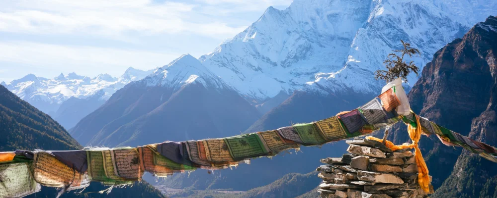
- Distance
- about 385 km (240 miles)
- Country
- Nepal
- Difficulty
- Very challenging
- Type of trip
- Cycling route
There’s no official bike route round Annapurna. This page is the Annapurna Circuit, a long-established trek, ridden with a mountain bike. The circuit goes up the Marshyangdi valley from Besisahar to Manang, crosses Thorong La at 5,416 m, and drops past Muktinath into the Kali Gandaki valley. Roads have now been built over about three-quarters of the old trail and reach both Manang and Muktinath, which is what makes it rideable. Above Manang the jeep track runs out, and for most riders the climb to Thorong La is a long push and carry, often over snow. Teahouses in the villages give you a bed and food every 10 km or so.
You need an Annapurna Conservation Area permit and a TIMS card. Since 2023 the Nepal Tourism Board has required foreign trekkers on the Annapurna Circuit to go with a licensed guide, with the TIMS card issued through a registered trekking agency. Check with the Nepal Tourism Board and an agency how this applies to you on a bike before you go, and check the current permit fees with them too. Altitude is the biggest danger: Manang, at 3,519 m, is where most people stop for a day or two to acclimatise before the pass.
Highlights along the way
- Marshyangdi valley: the river the circuit follows up from Besisahar to its source near Manang. The first days are mostly on the road.
- Manang: a village at 3,519 m, north of the Annapurna range, with yak herding and a clinic for altitude sickness. Most people rest here before the pass.
- Thorong La: at 5,416 m, the highest point. People usually sleep at Thorong Phedi (4,540 m) or High Camp (4,880 m) and set off before dawn to beat the wind.
- Muktinath: a temple at 3,762 m holy to both Hindus and Buddhists, with 108 water spouts. Bikes can be hired here for the descent.
- Kali Gandaki valley: the gorge between Dhaulagiri and Annapurna I, through Jomsom and Marpha. From Muktinath to Tatopani is a descent of more than 2,500 m over two or three days.
Distance
About 385 km (240 miles) as a loop from Pokhara by bike, on BIKEPACKING.com’s route, with about 10,300 m of climbing over around 12 days. The trekking circuit is 160 to 230 km, depending on where you start and finish.
If you have a GPX of this route from its official site or a planning app, open it in our free GPX viewer to see the distance, the climb and the height profile. The file stays on your device.
Best time to go
October to November, and April to May. These are the safest months to cross Thorong La. June to September is the monsoon, when the lower valleys get heavy rain, though the north side of the range is much drier. December to March is the coldest time, and the pass is often snowed in. In October 2014 a storm killed more than 40 people in the Annapurna region, many of them on the pass, so check the forecast before you go up.
More routes like this
- Friendship Highway by bike · about 800 km (497 miles) · People's Republic of China, Tibet, Nepal
- Salar de Uyuni by bike · Bolivia
- Munda Biddi Trail by bike · about 1,070 km (665 miles) · Australia
- Lofoten Islands Cycling Route · about 130 km (81 miles) · Norway
- Camino del Cid by bike · about 1,485 km (923 miles) · Spain
- Isarradweg by bike · 299 km (186 miles) · Germany, Austria