Camino del Cid by bike
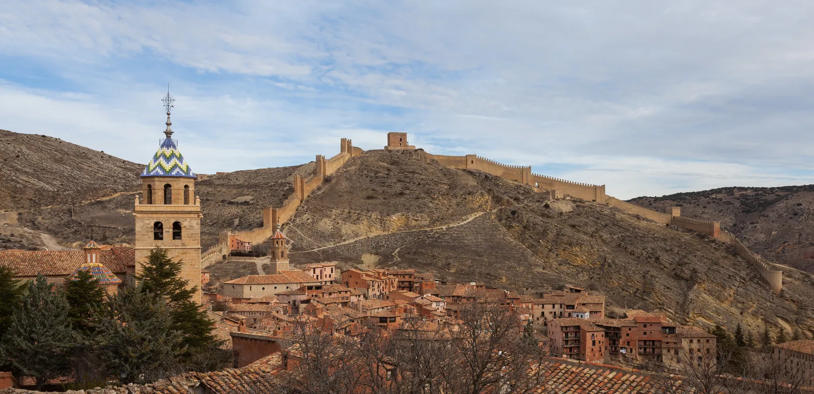
Photo: Diego Delso, CC BY-SA 3.0, via Wikimedia Commons
- Distance
- about 1,485 km (923 miles)
- Country
- Spain
- Difficulty
- Moderate
- Type of trip
- Cycling route
The Camino del Cid follows the Cantar de mío Cid, the medieval epic about Rodrigo Díaz, El Cid. In the poem King Alfonso VI sends him into exile, and he rides out of Vivar, near Burgos, through Muslim lands to Valencia. The route links places from the poem and from the Cid’s life across eight Spanish provinces, starting in Burgos and ending in Alicante. A consortium of the eight provincial councils, set up in 2002, looks after it. There are more than 2,000 km of routes, with separate versions for walkers on the GR 160, road cyclists, mountain bikers and gravel riders. This page is about the bike versions.
The mountain-bike routes are the signed ones. There are seven, mostly on farm tracks and paths with some loose stone and short stretches of quiet road. Most of the way they follow the walking route’s waymarks; the mountain-bike stretches off it carry the IMBA symbol of two circles and a triangle, and the official site rates most of them low to medium difficulty. The gravel version isn’t signed at all, so you need the GPX tracks from caminodelcid.org. It’s 51% tarmac on El Destierro and 78% on La Defensa del Sur. Road cyclists have ten routes of their own on minor roads. Many villages along the way have no shop, so carry food, fill up at the village fountains and book beds ahead. The salvoconducto is a pass you get stamped along the way, and it brings discounts at some places to stay.
Highlights along the way
- Vivar del Cid and Burgos: The route starts at the legua cero marker in Vivar, the Cid’s village in the poem, and the first mountain-bike stage is a short 13 km into Burgos and its cathedral. The next day passes the monastery of San Pedro de Cardeña.
- Silos and Gormaz: El Destierro goes past the Romanesque cloister of Santo Domingo de Silos and the caliphal fortress of Gormaz.
- Daroca and Albarracín: Las Tres Taifas runs past the walls of Daroca and the castle of Molina de Aragón, then over high, empty ground to Albarracín, where a Roman aqueduct heads off towards Cella.
- Laguna de Gallocanta: A 54 km gravel loop from Daroca goes round this lagoon. The official site says it’s at its best in winter, for the migrating birds.
- Bocairent to Orihuela: On La Defensa del Sur the climb from Ontinyent to Bocairent passes the Pou Clar, where the official site suggests a swim, and some uphill bits mean pushing. Further south come the castle at Sax, the World Heritage palm groves of Elche and the end at Orihuela.
Distance
About 1,485 km (923 miles) of signed mountain-bike route in all, by the official site, in seven routes of 49 km to 313 km. The main line runs from Vivar del Cid to Orihuela. On the gravel tracks that’s El Destierro to Atienza (299 km), Tierras de Frontera to Calatayud (268 km), Las Tres Taifas to Teruel (333 km), La Conquista de Valencia to Valencia (206 km) and La Defensa del Sur to Orihuela (253 km), about 1,359 km (844 miles) together. The official mountain-bike stages work out at about 48 km to 62 km a day, and the site warns that days over 90 km are hard even for experienced riders.
Best time to go
The official site says to ride in settled weather and gives different advice for different parts. The Jalón valley around Calatayud has very hot summers, and the high ground between Calamocha, Molina de Aragón and Albarracín has very cold winters. For La Defensa del Sur, near the coast, it recommends November to April, when the average winter high is about 20 °C, though lows can drop below 5 °C in the hills. The map viewer on caminodelcid.org has a route alerts layer for problems on the way, so look at it before you go.
More journeys in Spain
- Camino De Santiago · Julia & James
- France Spain 2024 · Greg
- Cycling the Basque Region · Lucy
- Sailing Around The World · Adam
- Road trip tenerife · Josephine
- Camino De Santiago · Ruth
Flyby films from Spain
- Tenerife · Josephine
- The Great Escape · saeunn
- Bilbao to....? · Greg
- León, Mediterranean disease · Eike
More routes like this
- Senda del Oso by bike · about 41 km (25 miles) · Spain
- Atlantic Coast Route – EuroVelo 1 by bike · about 11,000 km (6,835 miles) · England, France, Ireland, Norway, Portugal, Scotland, Spain, Wales, Northern Ireland
- Camino Portugués by Bike · about 610 km (380 miles) · Portugal, Spain
- Camino Francés by Bike · about 770 km (480 miles) · Spain, France
- Werratal-Radweg by bike · about 300 km (186 miles) · Germany
- Emsradweg by bike · about 385 km (240 miles) · Germany