Places you'll need
What it's for
Places you'll need finds the everyday things a trip runs on: drinking water, food shops, cafés, campsites, a bed for the night, toilets, or someone to fix the bike. It works near a place or along a whole route, on a phone or a computer, and there's nothing to sign up for.
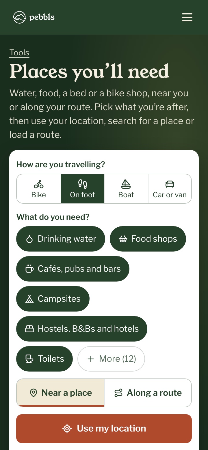
How are you travelling?
Start by picking "Bike", "On foot", "Boat" or "Car or van". Each brings the kinds of place that matter for that way of travelling, already picked. Under "What do you need?", turn kinds of place on or off, and "More" has the rest.
Near a place
Choose "Near a place", then "Use my location", search for a town, or tap the map. You get the nearest places with how far away they are, and whether they're open now where that's known.
Along a route
Choose "Along a route", then choose a route file or draw the route on the map, and say how far off the route you'd go. The stops come in the order you'll reach them, grouped by town, with how far along the route each one is. With drinking water picked, the long stretches without any are shaded red. You can save the stops as waypoints for a watch or bike computer, or print the list.
Directions, and when a place is wrong
Tap "Directions" to open the way there in your phone's maps app, and "Call" or "Website" where they're known. If a place has gone or isn't what it says, "Wrong or closed?" opens OpenStreetMap at that spot, so you can leave a note for the local mappers to put it right.
Where the places come from
Everything comes from OpenStreetMap, a map kept up by volunteers. We keep our own copy and refresh it every week. Some small shops and village taps are missing, and places close, so ring ahead before you go out of your way for one. Your location is only used if you tap "Use my location", rounded to about 100 metres and only for that search.