Camino from Sarria
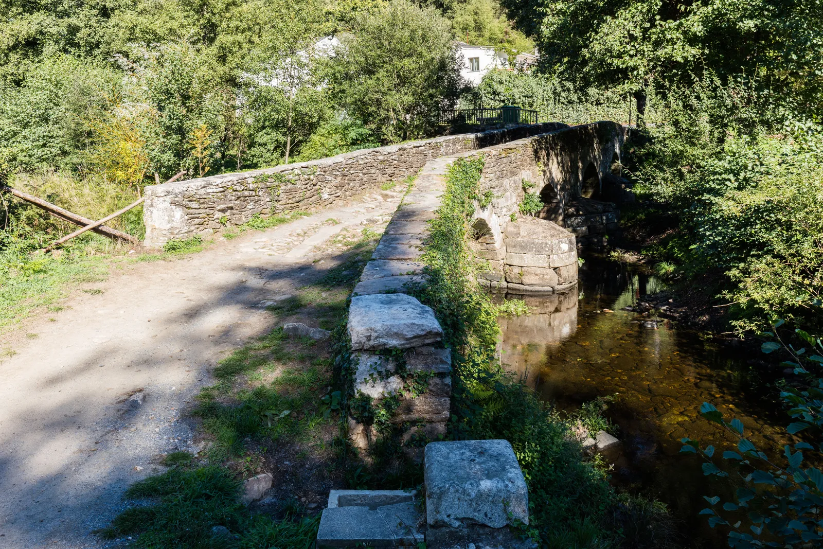
Photo: Diego Delso, CC BY-SA 4.0, via Wikimedia Commons
- Distance
- 114 km (71 miles)
- Country
- Spain
- Difficulty
- Easy to moderate
- Type of trip
- Hiking trail
Sarria is a town in Galicia on the Camino Francés, about 114 km from Santiago de Compostela. It’s the last place on that route far enough out for the Compostela, the certificate from the Pilgrim’s Office in Santiago, which needs at least the last 100 km on foot. That’s why so many people start there. In 2024 more than 235,000 pilgrims finished the Francés, and 65% of them had started in Sarria. Gronze splits the walk into five days, stopping at Portomarín, Palas de Rei, Arzúa and O Pedrouzo. This guide is for that last stretch. Pebbls has a separate guide to the whole Camino Francés.
Of the people starting in Sarria, 64% are Spanish. The towns where the stages end are lively, and beds there are in demand. You sleep in albergues (pilgrim hostels), guesthouses and hotels. The Xunta’s public albergues generally go to whoever turns up first, while many private albergues and guesthouses can be booked online. On busy dates it’s worth booking ahead for Portomarín, Palas de Rei and Arzúa. Get your credencial (pilgrim passport) stamped at the start and end of each stage. There’s no permit.
Highlights along the way
- Sarria to Portomarín: The first day is 22.2 km through rural Galicia, among meadows and oak and chestnut woods. Gronze says there’s nothing hard about it, just frequent, moderate ups and downs.
- Portomarín: The medieval town went under the waters of the Belesar reservoir in 1963. Its most important old buildings were moved to the new town.
- Melide: On the longest day, 28.5 km from Palas de Rei to Arzúa, you pass through Melide, which Gronze says has two of the best-known pulperías in Spain for pulpo a la gallega. The Camino Primitivo joins here. After Melide the path goes up and down constantly over a string of streams.
- Arzúa: The Camino del Norte joins at Arzúa, so for the last two days walkers from three routes share the path. From here it’s 19.3 km to O Pedrouzo and 19.4 km into Santiago.
- The Pilgrim’s Office: You collect the Compostela at Rúa Carretas 33 in Santiago, open 10:00 to 19:00 every day except 25 December and 1 January. You take a ticket with a QR code and can follow your place in the queue. At busy times they can’t promise you’ll get it the same day.
Distance
Gronze measures 114.2 km (71 miles) in five stages: 22.2 km to Portomarín, 24.8 km to Palas de Rei, 28.5 km to Arzúa, 19.3 km to O Pedrouzo and 19.4 km into Santiago. Other tables put Sarria at 107.5 km out. Either way it’s over the 100 km minimum, but not by much, so start walking in Sarria itself. If you walk in from Triacastela the day before, it’s 17.8 km via San Xil or 24.7 km via Samos.
Best time to go
Most pilgrims on the Francés finish between May and September. Easter, long weekends and ordinary weekends are busy on this stretch too, so book beds early for those dates. The Xunta de Galicia’s site, caminodesantiago.gal, lists the public albergues.
More journeys in Spain
- Camino De Santiago · Julia & James
- France Spain 2024 · Greg
- Cycling the Basque Region · Lucy
- Sailing Around The World · Adam
- Road trip tenerife · Josephine
- Camino De Santiago · Ruth
Flyby films from Spain
- Tenerife · Josephine
- The Great Escape · saeunn
- Bilbao to....? · Greg
- León, Mediterranean disease · Eike
More routes like this
- Camino de Invierno · 239 km (149 miles) · Spain
- Caminito del Rey on foot · 8 km (5 miles) · Spain
- Camino Inglés · about 112 km (70 miles) · Spain
- Camino Sanabrés · about 362 km (225 miles) · Spain
- GR 11 (Senda Pirenaica) on foot · about 840 km (520 miles) · Spain, Andorra
- Ruta del Alba on foot · 14 km (9 miles) · Spain