Camino Inglés
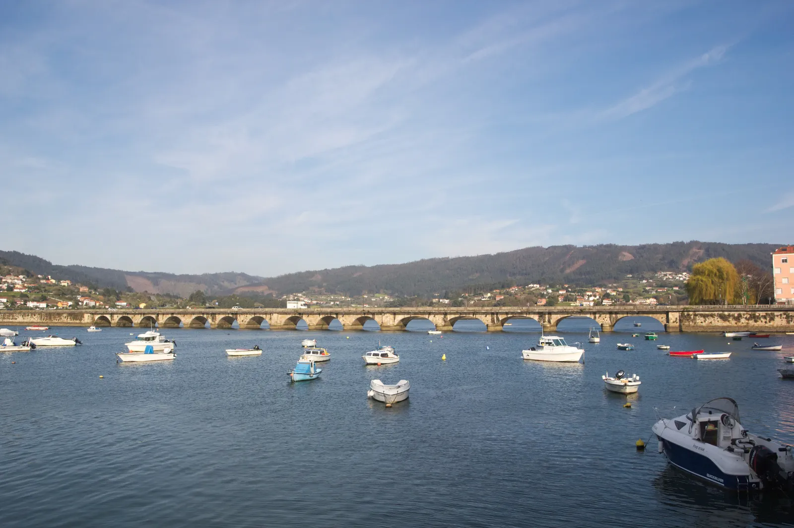
Photo: Xosema, CC BY-SA 4.0, via Wikimedia Commons
- Distance
- about 112 km (70 miles)
- Country
- Spain
- Difficulty
- Moderate
- Type of trip
- Hiking trail
The Camino Inglés starts at the port of Ferrol on the Galician coast and goes inland through Pontedeume and Betanzos to Santiago. In the Middle Ages pilgrims from England, Ireland, Scotland, Flanders and Scandinavia came by sea and landed at Ferrol or A Coruña, which is where the name comes from. From Ferrol it’s about 112 km, usually walked in five stages. A shorter branch from A Coruña joins it at Hospital de Bruma.
It’s a much smaller undertaking than the Francés, which is about 780 km and had more than 235,000 pilgrims in 2024. The Inglés had about 26,800, and 96% of them started in Ferrol. That’s because Ferrol is the only start on this route far enough out for the Compostela, which needs at least the last 100 km on foot, with your credencial (pilgrim passport) stamped at the start and end of each stage. From A Coruña it’s only about 73 km. Since December 2016 you can still get the Compostela from there if you’ve first walked at least 25 km on a St James route in your own country. You sleep in albergues (pilgrim hostels), guesthouses and hotels. There’s no permit.
Highlights along the way
- Ferrol: The first stage starts at the Curuxeiras dock and follows the ría on promenades, with hardly any climbing. It’s 27.7 km to Pontedeume, so if you start late, the albergue at Neda is about halfway.
- Pontedeume: An old town on the Eume, held by the Counts of Andrade in the Middle Ages, and one of the places on the route that had a pilgrim hospital with English backing. The climb out of town the next morning is the steepest of that stage.
- Betanzos: Gronze calls its medieval old quarter one of the most interesting in Galicia, and the town is known for its tortilla.
- Betanzos to Hospital de Bruma: Gronze calls this the hardest and loneliest stage, 24 km through small villages with hardly any services. There’s an albergue at Presedo if you want to split it.
- A Coruña: Pilgrims landed here too. The branch from the city goes through Sergude to Hospital de Bruma, 72.4 km to Santiago in four Gronze stages.
Distance
About 112 km (70 miles) from Ferrol. The Xunta de Galicia measures 112.4 km and Gronze 111.5 km, in five stages of 15.7 to 27.7 km. From A Coruña it’s about 73 km (45 miles) in four stages. The two branches meet at Hospital de Bruma, and from there it’s 24.4 km to Sigüeiro and 15.7 km into Santiago.
Best time to go
People walk it all year, and August is the busiest month for finishing. At five stages from Ferrol it fits into a week off. Check where you’ll sleep before you go, as the albergue in Betanzos was closed until 5 February 2027 (Gronze, November 2026). The Xunta de Galicia’s site, caminodesantiago.gal, lists the public albergues.
More journeys in Spain
- Camino De Santiago · Julia & James
- France Spain 2024 · Greg
- Cycling the Basque Region · Lucy
- Sailing Around The World · Adam
- Road trip tenerife · Josephine
- Camino De Santiago · Ruth
Flyby films from Spain
- Tenerife · Josephine
- The Great Escape · saeunn
- Bilbao to....? · Greg
- León, Mediterranean disease · Eike
More routes like this
- Camino Portugués on foot · 241 km (150 miles) · Portugal, Spain
- Ruta de las Xanas on foot · 9 km (6 miles) · Spain
- Camino Primitivo · about 320 km (199 miles) · Spain
- Carros de Foc on foot · about 65 km (40 miles) · Spain
- Camí de Ronda (Costa Brava) on foot · 200+ km (124+ miles) · Spain
- GR 11 (Senda Pirenaica) on foot · about 840 km (520 miles) · Spain, Andorra