Ruta del Alba on foot
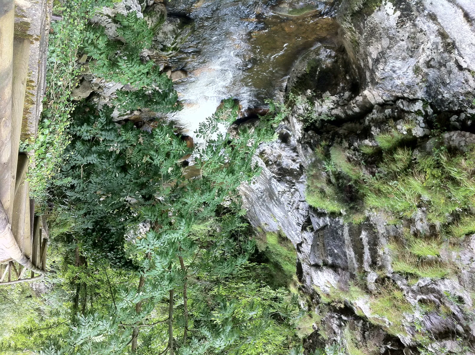
Photo: Jordi Ballesta Castro, CC BY-SA 3.0 ES, via Wikimedia Commons
- Distance
- 14 km (9 miles)
- Country
- Spain
- Difficulty
- Easy to moderate
- Type of trip
- Hiking trail
The Ruta del Alba (PR-AS 62) follows the river Alba, also called the Llaímo, up from the village of Soto de Agues in Sobrescobio, central Asturias. It's in the Redes Natural Park, which is also a biosphere reserve, and the gorge is a protected natural monument. It's a there-and-back walk of about 14 km. You go up the valley to the meadow at Cruz de los Ríos and come back the same way. Turismo Asturias calls it easy and good for families, but rates it medium and allows more than five hours. The first part is a wide track closed to traffic. There's nothing to book.
For centuries shepherds and muleteers used the path to reach the Aller valley and to carry iron from the Carmen mine down to Rioseco, which is why there are old stone bridges over the river. Otters, dippers, trout and golden eagles live along it. Keep a dog on a lead, and if you meet mastiffs guarding livestock, don't go near them or feed them.
Highlights along the way
- Soto de Agues: The walk starts in a village that still has hórreos, houses with wooden balconies and an old washhouse.
- The Alba gorge: After about 2 km the valley narrows and the path runs close to the river, past one pool, small fall and spring after another, through chestnut, oak and hazel woods. Look out for El Vigilante, a rock shaped like a horn.
- Campurru: The remains of the loading bay of the Carmen mine are still here. The reddish minerals in the rock are a reminder of the iron mining at Pandanes.
- The Foces del Llaímo: Where the track forks at the Vega del Llaímo, the left-hand branch narrows to a path between high walls of limestone and quartzite. It crosses the river on old stone bridges, La Pontona and the Resquiebra bridge, past waterfalls. Turismo Asturias calls it the narrowest and most dramatic part of the walk.
- Cruz de los Ríos: The turning point is a wide meadow ringed by beech woods, under the Retriñón peak, with a picnic area and an old refuge.
Distance
13.64 km (8.5 miles) there and back, by Turismo Asturias' figures, with 416 m of climbing and the same down, between 429 m and 791 m above sea level. That's about 7 km each way from Soto de Agues to Cruz de los Ríos. The official route is out and back, so you return the way you came.
Best time to go
Turismo Asturias lists the route as open all year (checked in November 2026). It's one of the best-known and busiest paths in Redes. The tourist board's advice is to plan the walk, take what you need and make sure it suits your fitness, and to take all your rubbish home, food scraps included.
More journeys in Spain
- Camino De Santiago · Julia & James
- France Spain 2024 · Greg
- Cycling the Basque Region · Lucy
- Sailing Around The World · Adam
- Road trip tenerife · Josephine
- Camino De Santiago · Ruth
Flyby films from Spain
- Tenerife · Josephine
- The Great Escape · saeunn
- Bilbao to....? · Greg
- León, Mediterranean disease · Eike
More routes like this
- Camino Primitivo · about 320 km (199 miles) · Spain
- Ruta de las Xanas on foot · 9 km (6 miles) · Spain
- Camí de Ronda (Costa Brava) on foot · 200+ km (124+ miles) · Spain
- Camino Sanabrés · about 362 km (225 miles) · Spain
- Jakobsweg on foot · about 770 km (480 miles) · Germany, Spain, France, Austria
- Camino Inglés · about 112 km (70 miles) · Spain