Camino de Invierno
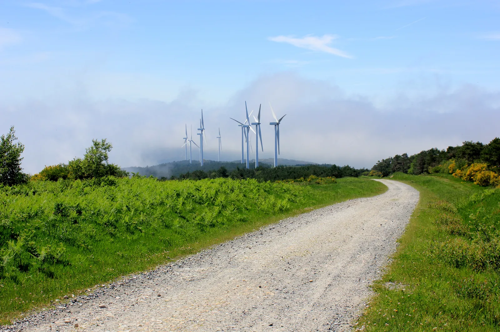
Photo: feelSacra, CC BY-SA 4.0, via Wikimedia Commons
- Distance
- 239 km (149 miles)
- Country
- Spain
- Difficulty
- Moderate to challenging
- Type of trip
- Hiking trail
The Camino de Invierno, the Winter Way, leaves the Camino Francés at Ponferrada in the Bierzo and heads south-west to Santiago instead of climbing over O Cebreiro. It follows the Sil valley through Valdeorras and the Ribeira Sacra, crosses the Miño and joins the Vía de la Plata at Lalín for the last few days. The Xunta de Galicia gives 239.2 km and rates it medium to high in difficulty. Gronze splits it into 10 stages to Silleda and 2 more on the Vía de la Plata. The Xunta made it an official Camino in 2016, and Gronze says it's still a minority route, though well waymarked. You sleep in albergues (pilgrim hostels), hostales and guesthouses. Walk the whole thing and you're well past the 100 km on foot you need for the Compostela; carry a credencial (pilgrim passport) and get it stamped as you go.
The Xunta describes it as the winter alternative to the hard climb and snowy heights of O Cebreiro, and it also kept pilgrims out of the Valcarce valley, which flooded often. Historians trace it to a Roman road that linked the gold workings at Las Médulas to the Via XVIII, and the Roman tunnel at Montefurado, near Quiroga, is part of the evidence. Don't expect the Francés. There are fewer pilgrims, fewer beds and long stretches with hardly any services.
Highlights along the way
- Las Médulas: The first stage, 27.8 km from Ponferrada, passes the Templar castle of Cornatel and runs on paths lined with old chestnut trees to the landscape left by Roman gold mining, now a World Heritage Site. Gronze lists only private rooms in Las Médulas itself.
- The Sil and Valdeorras: For three days you follow the Sil through O Barco and A Rúa to Quiroga. The 12.9 km from O Barco to A Rúa is the shortest stage.
- Belesar and the Ribeira Sacra: Monforte de Lemos to Chantada is 30.4 km with almost no services. You go down about 300 m on cobbles to the Miño at Belesar, past vineyards terraced into the valley side, and climb 300 m back up. The public albergue at Diomondi lets you split it.
- Sierra do Faro: At 1,153 m this is the highest point of the route, on the stage from Chantada to Rodeiro. The chapel and viewpoint are about 400 m off the path, and on a clear day you can see over much of Galicia.
- Lalín to Santiago: Past Lalín, in Deza, the Xunta's geographical centre of Galicia, you walk the Vía de la Plata. The Xunta albergue at Outeiro leaves 16.7 km into Santiago.
Distance
The Xunta de Galicia gives 239.2 km (149 miles). Gronze's stages add up to about 266 km (165 miles): 225.5 km in 10 stages from Ponferrada to Silleda, then 23.9 km to Outeiro and 16.7 km to Santiago on the Vía de la Plata. Stages run from 12.5 to 30.4 km. The highest point is the Sierra do Faro at 1,153 m.
Best time to go
Medieval pilgrims took it in winter to stay off O Cebreiro, and Gronze still calls it the easier choice at that time of year. It does have its own high crossing, the Sierra do Faro, so check the forecast for that day. Because the route is quiet, look up your beds before you go. In November 2026 Gronze listed no dormitory beds in Las Médulas, and the Xunta's site, caminodesantiago.gal, lists the public albergues.
More journeys in Spain
- Camino De Santiago · Julia & James
- France Spain 2024 · Greg
- Cycling the Basque Region · Lucy
- Sailing Around The World · Adam
- Road trip tenerife · Josephine
- Camino De Santiago · Ruth
Flyby films from Spain
- Tenerife · Josephine
- The Great Escape · saeunn
- Bilbao to....? · Greg
- León, Mediterranean disease · Eike
More routes like this
- Ruta del Cares on foot · 22 km (14 miles) · Spain
- GR 11 (Senda Pirenaica) on foot · about 840 km (520 miles) · Spain, Andorra
- Camino de Santiago on foot · about 770 km (480 miles) · Spain, France
- Caminito del Rey on foot · 8 km (5 miles) · Spain
- Camino Olvidado · about 532 km (331 miles) · Spain
- Camino Primitivo · about 320 km (199 miles) · Spain