GR 11 (Senda Pirenaica) on foot
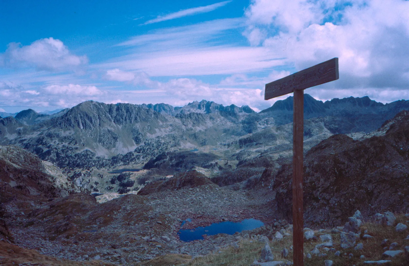
Photo: Steve Cadman, CC BY-SA 2.0, via Wikimedia Commons
- Distance
- about 840 km (520 miles)
- Countries
- Spain, Andorra
- Difficulty
- Challenging
- Type of trip
- Hiking trail
The GR 11, or Senda Pirenaica, is the long-distance path along the Spanish side of the Pyrenees. It starts at Cabo Higuer, by Hondarribia on the Bay of Biscay, and crosses the Basque Country, Navarre, Aragón, Andorra and Catalonia to finish at Cap de Creus on the Mediterranean. Cicerone splits it into 47 stages and reckons on 6 to 8 weeks. You sleep in villages, mountain refuges and hostels, but Wikipedia says that in general you need to carry food for 3 to 4 days at a time. It’s waymarked in red and white for almost all its length.
It’s a mountain route. It doesn’t go over any summits, but Catalan Wikipedia notes that many sections are above 2,000 m, and Cicerone gives passes up to 2,700 m, rates it challenging and says you need experience of high mountains. Most rivers run across the line of the path, so you’re forever climbing out of one valley and down into the next, some days with 1,600 m of ascent. It isn’t the GR 10, the French crossing on the other side of the border, or the HRP, which keeps higher and crosses the border often. The GR 11 only dips into France briefly near Candanchú.
Highlights along the way
- Ordesa: Stage 8 in Aragón, 25.4 km from San Nicolás de Bujaruelo, follows the Arazas up the Ordesa valley in the national park, through beech woods and past the Gradas de Soaso to the Cola de Caballo waterfall, then climbs to the Góriz refuge at about 2,200 m.
- Collado de Añisclo: The next day, 18 km to the Pineta refuge, crosses this 2,453 m pass at the head of the Añisclo canyon and then drops steeply, 1,975 m of descent in all. The Aragón mountaineering federation warns of exposed ground and rock steps, and the Faja de las Olas variant is more exposed still.
- Aigüestortes: In Catalonia the path crosses the Port de Ratera into the Aigüestortes i Estany de Sant Maurici national park, goes round the Sant Maurici lake and leaves the park at Espot.
- Andorra: The path crosses Andorra past the Estany Negre, below the Comapedrosa, then through Arinsal and Encamp, and leaves by the Illa refuge and lake.
- Sant Pere de Rodes and Cap de Creus: The last stretch comes down through the Albera to Llançà, climbs to the monastery of Sant Pere de Rodes, drops to El Port de la Selva and ends at Cap de Creus, in its natural park.
Distance
About 840 km (520 miles) in all, by English Wikipedia’s figure, though it says the exact length is hard to measure. Cicerone gives about 850 km in 47 stages of 7 to 31 km. The Aragón section, from Zuriza to the Catalan border, is 240 km in 14 stages according to the Federación Aragonesa de Montañismo, and Catalan Wikipedia gives 378 km for Catalonia and Andorra together.
Best time to go
Cicerone says summer, July to September, avoids snow and the worst weather, and gives June to October for the central Pyrenees. Early in the season, snow on the high passes calls for mountaineering skills. In early November 2026 the Aragón federation’s mountain forecast had snow down to about 1,400–1,600 m, so outside summer check the AEMET mountain forecast and the refuges before you go.
More journeys in Spain, Andorra
- Camino De Santiago · Julia & James
- France Spain 2024 · Greg
- Cycling the Basque Region · Lucy
- Sailing Around The World · Adam
- Road trip tenerife · Josephine
- Camino De Santiago · Ruth
Flyby films from Spain, Andorra
- Tenerife · Josephine
- The Great Escape · saeunn
- Bilbao to....? · Greg
- León, Mediterranean disease · Eike
More routes like this
- Ruta del Cares on foot · 22 km (14 miles) · Spain
- Camino from Sarria · 114 km (71 miles) · Spain
- Camino de Invierno · 239 km (149 miles) · Spain
- Jakobsweg on foot · about 770 km (480 miles) · Germany, Spain, France, Austria
- Camino Lebaniego · about 73 km (45 miles) · Spain
- Caminito del Rey on foot · 8 km (5 miles) · Spain