Via Postumia on foot
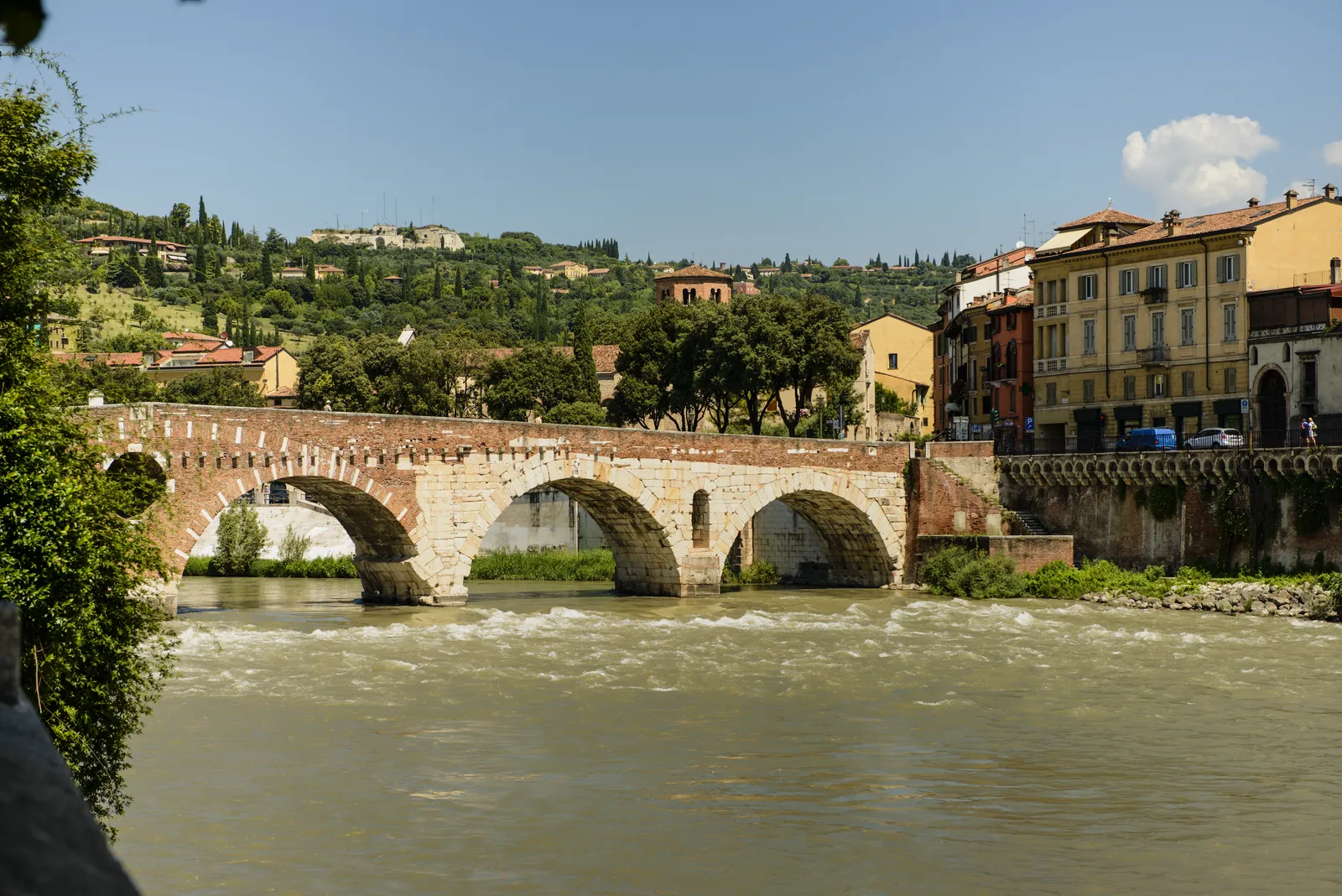
Photo: Son of Groucho from Scotland, CC BY 2.0, via Wikimedia Commons
- Distance
- about 956 km (594 miles)
- Country
- Italy
- Difficulty
- Moderate
- Type of trip
- Hiking trail
The Via Postumia was a Roman road, built in 148 BC by the consul Spurius Postumius Albinus from Genoa over the Apennines to Tortona, Piacenza, Cremona and Verona, and on to Aquileia. This guide is about the modern walking route that borrows its name and runs between the same two ends, Aquileia near the Adriatic and Genoa on the Ligurian Sea. It doesn’t stick to the Roman line. Andrea Vitiello and the volunteers of the Associazione Amici della Via Postumia started piecing it together in 2013, to give northern Italy a Way of St James marked with yellow arrows, and it mostly uses cycle paths and dirt tracks. It goes through Palmanova, Treviso, Vicenza, Verona, Peschiera del Garda, Mantua, Sabbioneta, Cremona, Piacenza, Tortona and Gavi. At Piacenza it crosses the Via Francigena, and from Genoa you can carry on along the Ligurian coast into France.
There’s no chain of pilgrim hostels. You sleep in B&Bs, agriturismi and hotels, now and then in parish or convent rooms, and the association asked walkers to phone every place at least two days ahead, religious houses most of all. It also issued a pilgrim credential. The waymarks are yellow arrows and the letters VP, but they’re patchy, so carry the GPS track. The association put its tracks on Wikiloc, free once you register. In November 2026 the association’s old web address belonged to an unrelated shop, though archived copies of its site from June 2026 can still be found.
Highlights along the way
- Aquileia: The start, a Roman colony founded in 181 BC and still one of the most important archaeological sites in northern Italy. Leave time for the basilica before you set off.
- Palmanova: A short way into the Friulian plain you reach Palmanova, a fortress town built in the shape of a star.
- Treviso and the Sile: The route follows the river Sile upstream, through Casale sul Sile, into Treviso.
- Verona: The Roman road crossed the Adige here on the Ponte Pietra. The Arco dei Gavi still marks the branch of the road that led into the city.
- Over the Apennines to Genoa: After the Oltrepò Pavese and Gavi the last days climb through Voltaggio to the ridge, 822 m at the top, then drop down the Polcevera valley through Pontedecimo to Genoa.
Distance
About 956 km (594 miles) from Aquileia to Genoa, adding up the 40 stages in the association’s own 2017 list, which run from 14 to 35 km (9 to 22 miles). Travel articles give 930 to 940 km, and the association now says the stages are up to you. It’s flat for a long way. Camino Ninja, which starts its version further east in Trieste, says that between Monfalcone and Piacenza the path only goes above 150 m twice, in the Monti Berici and near Pastrengo. After Piacenza come the Oltrepò hills and then the Apennines. The association also put out separate tracks for mountain bikes and for touring bikes.
Best time to go
April to June and September to October, says Camino Ninja. In July and August the Po valley is hot and muggy, with mosquitoes on the river banks, and between Latisana and Piacenza there’s a lot of asphalt beside canals with little change in the view. The Apennine stages at the end can be wet and slippery in the colder months. With the association’s website gone, check the tracks on Wikiloc and book every bed before you set out.
More journeys in Italy
- to Tuscany by bike · Yael Zekaria
- Euro Trip 2024 · mmalty
- Istanbul To Ashby · Harry
- Sicily Tour · fredmarien
- Livigno 2026 · Marc
- UK to Georgia by Bike · Simon & Lucy
Flyby films from Italy
- Alta_Via_1_day_1_ · harryknoblauch12
- Plane trip Saturday · fredmarien
- Dag 9: Innsbruck - Bruneck · johan
- Salzburg to Nice · Lucy
More routes like this
- Via Francigena on foot · 1,000 km (621 miles) · Italy
- Cammino dei Briganti on foot · about 108 km (67 miles) · Italy
- Alta Via dei Monti Liguri on foot · about 440 km (273 miles) · Italy
- Tour du Mont Blanc trek · about 170 km (105 miles) · France, Italy, Switzerland
- Via degli Dei on foot · 124 km (77 miles) · Italy
- Sentiero degli Dei (Path of the Gods) · 8 km (5 miles) · Italy