Via Francigena on foot
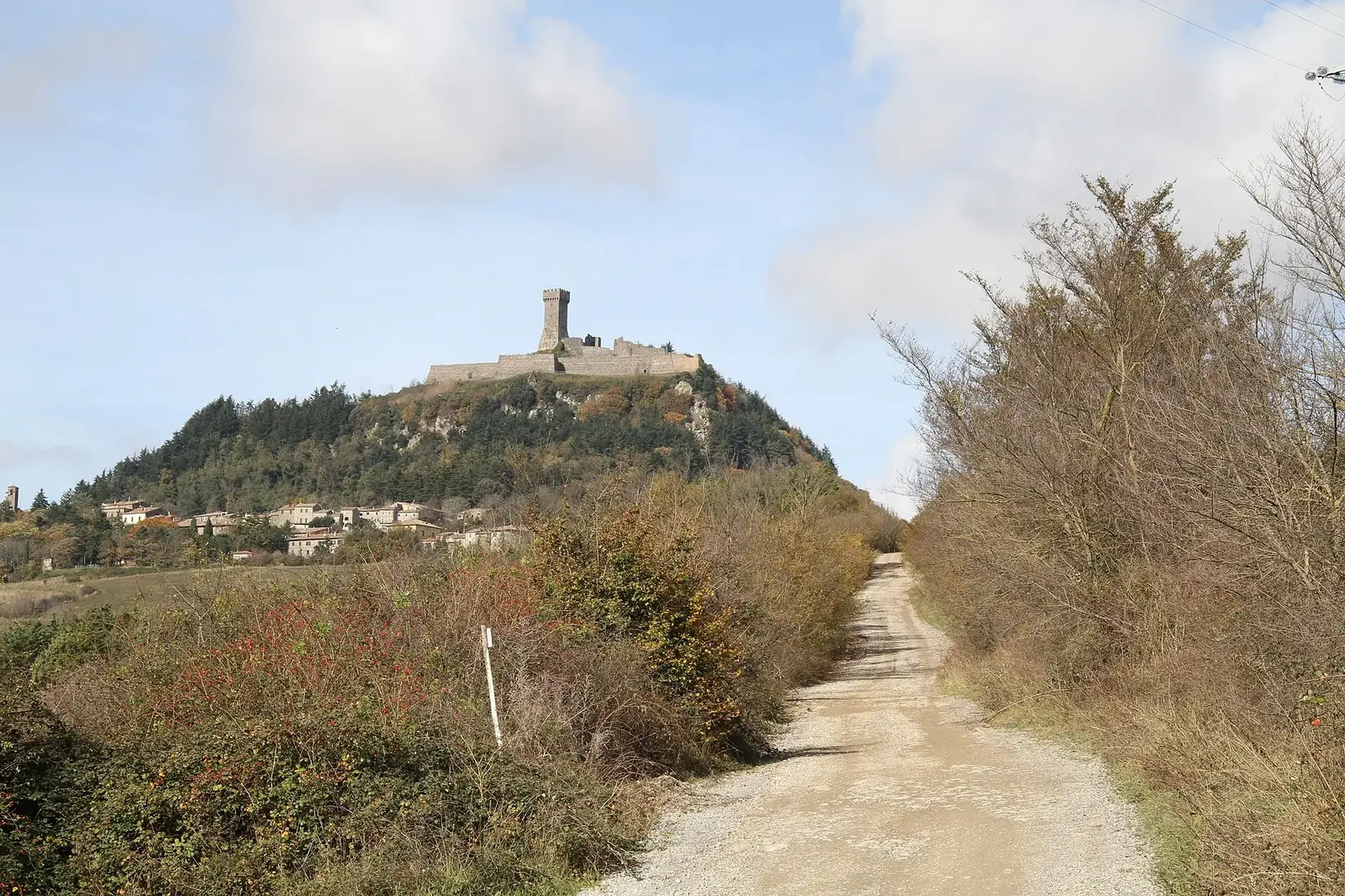
Photo: Stefano Viola, CC BY-SA 4.0, via Wikimedia Commons
- Distance
- 1,000 km (621 miles)
- Country
- Italy
- Difficulty
- Moderate
- Type of trip
- Hiking trail
The Via Francigena is the old pilgrim road from Canterbury to Rome. Archbishop Sigeric came home along it from Rome in 990 and wrote down the 80 places where he stopped for the night, and today's route is based on his list. The Italian half runs from the Great St Bernard Pass down to St Peter's Square, in 45 stages and just over 1,000 km. Few people walk all of it in one go.
Stages are about 22 km, a few over 30. You come down the Aosta valley, cross the flat rice country round Vercelli and Pavia, climb the Cisa pass into Tuscany, then walk through Lucca, San Gimignano and Siena. San Quirico to Radicofani, about 32 km, is one of the hardest days. Your first view of St Peter's comes from Monte Mario.
For the Testimonium, walk at least the last 100 km (from Viterbo) or cycle the last 200 km (from San Quirico d'Orcia), with a dated stamp for each day in your credential. You collect it at the pilgrims' desk in St Peter's.
Highlights along the way
- The Great St Bernard and the Aosta valley: The Italian half starts at the Great St Bernard Pass, which is only open to walkers from early June to early September. From there you come down the Aosta valley.
- Rice fields round Vercelli and Pavia: After the valley the route crosses flat rice country round Vercelli and Pavia.
- The Cisa pass: The pass sits on the border between Emilia-Romagna and Tuscany. You climb up to it and come down into Tuscany at Pontremoli.
- Lucca, San Gimignano and Siena: You walk through all three in Tuscany. After Siena comes San Quirico to Radicofani, about 32 km and one of the hardest days.
- Monte Mario and St Peter's: Your first view of St Peter's comes from Monte Mario. The walk ends in St Peter's Square, and you collect your Testimonium at the pilgrims' desk in St Peter's.
Distance
Just over 1,000 km (621 miles), in 45 stages from the Great St Bernard Pass to St Peter's Square. Stages are about 22 km, and a few are over 30. Few people walk all of it in one go.
Best time to go
The association suggests May, June and September. April is often wet, and March can still bring snow in the Aosta valley and on the Cisa. If you're starting at the top, bear in mind the Great St Bernard Pass is only open to walkers from early June to early September.
More journeys in Italy
- to Tuscany by bike · Yael Zekaria
- Euro Trip 2024 · mmalty
- Istanbul To Ashby · Harry
- Sicily Tour · fredmarien
- Livigno 2026 · Marc
- UK to Georgia by Bike · Simon & Lucy
Flyby films from Italy
- Alta_Via_1_day_1_ · harryknoblauch12
- Plane trip Saturday · fredmarien
- Dag 9: Innsbruck - Bruneck · johan
- Salzburg to Nice · Lucy
More routes like this
- Cammino di San Benedetto on foot · about 300 km (186 miles) · Italy
- Via di Francesco on foot · about 500 km (311 miles) · Italy
- E5 from Oberstdorf to Meran on foot · about 120 km (75 miles) · Germany, Austria, Italy
- Cammino di Oropa on foot · about 65 km (40 miles) · Italy
- Cammino Materano on foot · 168 km (104 miles) · Italy
- Alta Via 2 on foot · about 180 km (112 miles) · Italy