Via degli Dei on foot
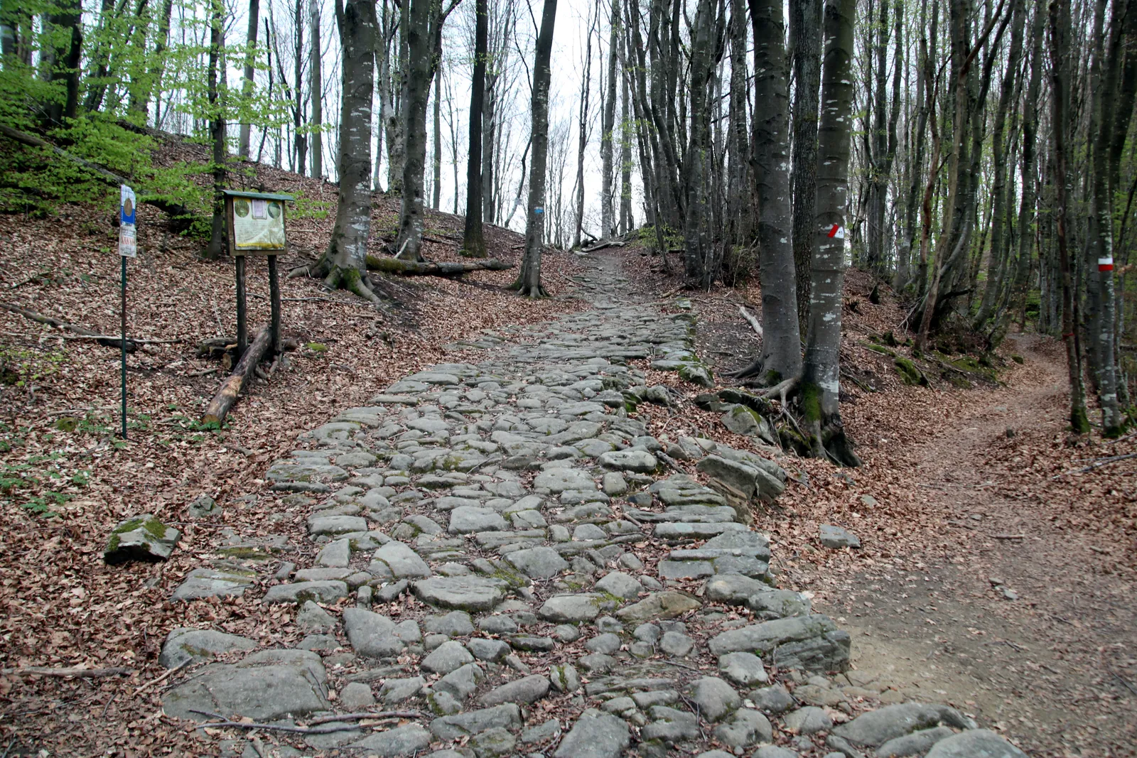
Photo: Mongolo1984, CC BY-SA 4.0, via Wikimedia Commons
- Distance
- 124 km (77 miles)
- Country
- Italy
- Difficulty
- Moderate to challenging
- Type of trip
- Hiking trail
The Via degli Dei is a walk of about 130 km over the Apennines between Bologna and Florence, starting in Piazza Maggiore and finishing in Piazza della Signoria. It crosses from Emilia-Romagna into Tuscany on paths, forest tracks and stretches of old road, and tops out at about 1,200 m. The name comes from the old names of mountains along the way: Monte Adone, Monzuno (Mons Iovis, Jupiter’s mountain), Monte Venere, and Monte Luario, after Lua, a Roman goddess. A group of Bologna walkers from the Italian Alpine Club (CAI) put it together, and the CAI waymarked it from the 1990s with its red and white marks. The official site suggests 5 to 7 days, and splits the walk into six stages.
You sleep in the villages where the stages end. The official site says to book ahead in summer and over bank holidays, and the Sasso Marconi tourist office, infoSASSO, keeps the list of places to stay. There’s an optional credential, a walker’s passport sold along the route and online. It isn’t a religious document. With at least 5 stamps from walking it you can collect a numbered poster at the end, in Bologna, Sasso Marconi, Fiesole or Florence. The official Walk+ app has the route, water points and live alerts about detours.
Highlights along the way
- San Luca: The first stage climbs out of Bologna under the long portico to the sanctuary of the Madonna di San Luca, then drops down through woods towards the Reno valley.
- Monte Adone: A short, steep climb on the first or second day. The official site calls it the most photographed place on the route.
- The Flaminia Militare: Between Madonna dei Fornelli and the Passo della Futa you walk on and beside stretches of Roman road dated to 187 BC. Nearby are the Banditacce, the highest point at about 1,200 m, and the Poggiaccio, roughly halfway between the two cities.
- Passo della Futa: Home to a German war cemetery, one of the largest in Italy. The route passes many places on the Gothic Line from the Second World War.
- Monte Senario and Fiesole: The monks at the sanctuary of Monte Senario offer walkers Gemma di abeto, a fir liqueur they make there. On the last day you come down through Fiesole, which has an archaeological area worth a look, into Florence.
Distance
The six official stages add up to about 124 km (77 miles), and the site rounds it to 130 km (81 miles), with around 5,000 m of climbing in all. The first stage, Bologna to Brento, is the longest at 29.1 km (18.1 miles) and about 9 hours, though you can stop at Badolo after 22.9 km (14.2 miles). The others are 17 to 21 km (10.6 to 13 miles). From Fiesole you can walk the last stretch into Florence or take the number 7 bus.
Best time to go
The official site doesn’t name a best season. It warns that heat makes some stretches hard in the middle of the day, and suggests carrying at least 2 litres of water, or 3 in hot months. Heavy rain can make paths impassable. In November 2026 the site said the original Bregoli path down from San Luca was closed, with a signed route instead, and it still showed a detour from March 2025, when heavy rain brought down the bridge over the Calza on the fifth stage. Check the app or viadeglidei.it before you set off.
More journeys in Italy
- to Tuscany by bike · Yael Zekaria
- Euro Trip 2024 · mmalty
- Istanbul To Ashby · Harry
- Sicily Tour · fredmarien
- Livigno 2026 · Marc
- UK to Georgia by Bike · Simon & Lucy
Flyby films from Italy
- Alta_Via_1_day_1_ · harryknoblauch12
- Plane trip Saturday · fredmarien
- Dag 9: Innsbruck - Bruneck · johan
- Salzburg to Nice · Lucy
More routes like this
- Alta Via 1 trek · about 115 km (72 miles) · Italy
- Cammino Minerario di Santa Barbara on foot · about 500 km (311 miles) · Italy
- Cammino Materano on foot · 168 km (104 miles) · Italy
- Alta Via 2 on foot · about 180 km (112 miles) · Italy
- Sentiero degli Dei (Path of the Gods) · 8 km (5 miles) · Italy
- Cammino di Oropa on foot · about 65 km (40 miles) · Italy