Cammino di Oropa on foot
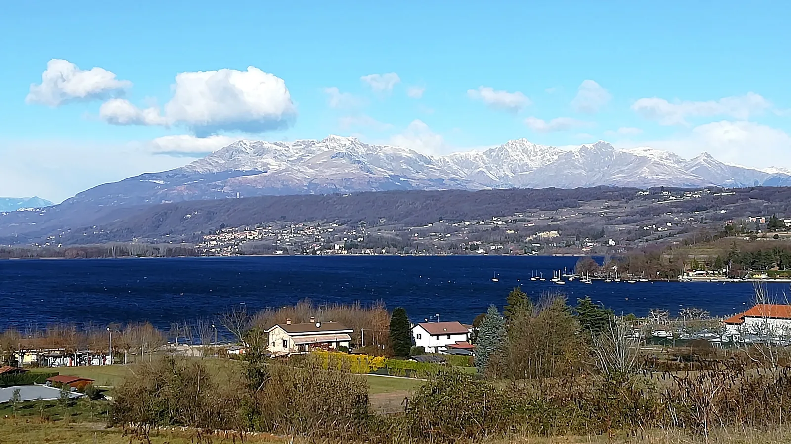
Photo: Walty1971, public domain, via Wikimedia Commons
- Distance
- about 65 km (40 miles)
- Country
- Italy
- Difficulty
- Easy to moderate
- Type of trip
- Hiking trail
The Cammino di Oropa is a set of walking routes around Biella, the Canavese and the Aosta Valley that all end at the Sanctuary of Oropa, which the association that runs them calls the largest Marian sanctuary in the Alps. It sits at about 1,159 m in a bowl of the Biella Alps and is part of the Sacri Monti World Heritage site. This guide follows the Cammino della Serra, the most walked of them, 65.1 km from Santhià railway station to Oropa in 4 stages that get harder as you go. It starts on the Via Francigena through rice fields, crosses the wooded Serra d’Ivrea, which the route’s site calls the largest moraine amphitheatre in Europe, then follows balcony paths along the foot of the mountains. The association says 3 days is only for fit, experienced walkers, and not to try it in 2. The longer Cammino Canavesano comes in from Valperga, about 85 km in 5 stages.
There are partner hostels, guesthouses, B&Bs, small hotels and restaurants at every stage end, and the association says to book ahead, especially in high season. You can camp at Viverone, Sala Biellese and the Graglia sanctuary. The credential is optional. Book it online and pick it up on your first day at the Casa del Movimento Lento in Roppolo for 5 euro, as it isn’t posted. With it, the Mass office at Oropa will give you the Testimonium, signed by the rector, and there’s a pilgrims’ Mass every afternoon. The route is marked with yellow paint and stickers on posts, and the free SlowBi app works offline. Santhià is on the Milan–Turin line, 1 hour 5 minutes from Milano Centrale. To get back, a bus runs from Oropa to Biella San Paolo station about every 2 hours, and from there a direct train to Santhià. There are few cash machines, so carry some cash.
Highlights along the way
- Roppolo: The first day leaves the rice fields for the first low hills and ends under Roppolo’s big castle, with a view over Lake Viverone.
- Ricetto di Viverone and Bose: The second day climbs through vineyards to the old fortified village above the lake, then passes the Monastery of Bose, the community founded by Enzo Bianchi. Get there around midday and you can hear the sung Mass.
- Magnano: Another well-kept ricetto, reached after the Romanesque church of San Secondo, before hidden paths through the woods to Torrazzo.
- Santuario di Graglia: The third day ends here after some tiring ups and downs, on the slopes of Mombarone, the ridge between Piedmont and the Aosta Valley.
- Santuario di Oropa: The last day crosses the Elvo, goes through Sordevolo and past the oratory of San Barnaba, with views over the Po plain, then climbs path D1 to the sanctuary.
Distance
About 65 km (40 miles) in all, and the official figure is 65.1 km. The stage pages give 16.5 km (10.3 miles) for Santhià to Roppolo, the easy one with 200 m of climbing, then 17.6 km and 15.7 km. The last, Graglia to Oropa, is the shortest at 14.8 km (9.2 miles) but the hardest, with 755 m of climbing. In 3 days it’s 25.9 km, 20.6 km and 14.8 km. If you’d rather walk back down, there’s a 14.6 km stage from Oropa to Biella.
Best time to go
The Cammino della Serra can be walked all year, but in winter there can be snow and ice on the last two stages, so ask where you’re staying before you set off. In summer the first stage is mostly in the sun, so carry water. There are fountains at km 3.8 and 6.4. After heavy rain, path D1 has several stream crossings, and the last one, 1 km from the end, is dangerous in flood. Take the Tramvia variant instead, signed at km 9.3. Check camminodioropa.it before you go.
More journeys in Italy
- to Tuscany by bike · Yael Zekaria
- Euro Trip 2024 · mmalty
- Istanbul To Ashby · Harry
- Sicily Tour · fredmarien
- Livigno 2026 · Marc
- UK to Georgia by Bike · Simon & Lucy
Flyby films from Italy
- Alta_Via_1_day_1_ · harryknoblauch12
- Plane trip Saturday · fredmarien
- Dag 9: Innsbruck - Bruneck · johan
- Salzburg to Nice · Lucy
More routes like this
- E5 from Oberstdorf to Meran on foot · about 120 km (75 miles) · Germany, Austria, Italy
- Alta Via dei Monti Liguri on foot · about 440 km (273 miles) · Italy
- Via di Francesco on foot · about 500 km (311 miles) · Italy
- Sentiero Italia on foot · about 8,000 km (4,970 miles) · Italy
- Alta Via 1 trek · about 115 km (72 miles) · Italy
- Munich to Venice on foot (Traumpfad) on foot · about 550 km (340 miles) · Germany, Austria, Italy