Via di Francesco on foot
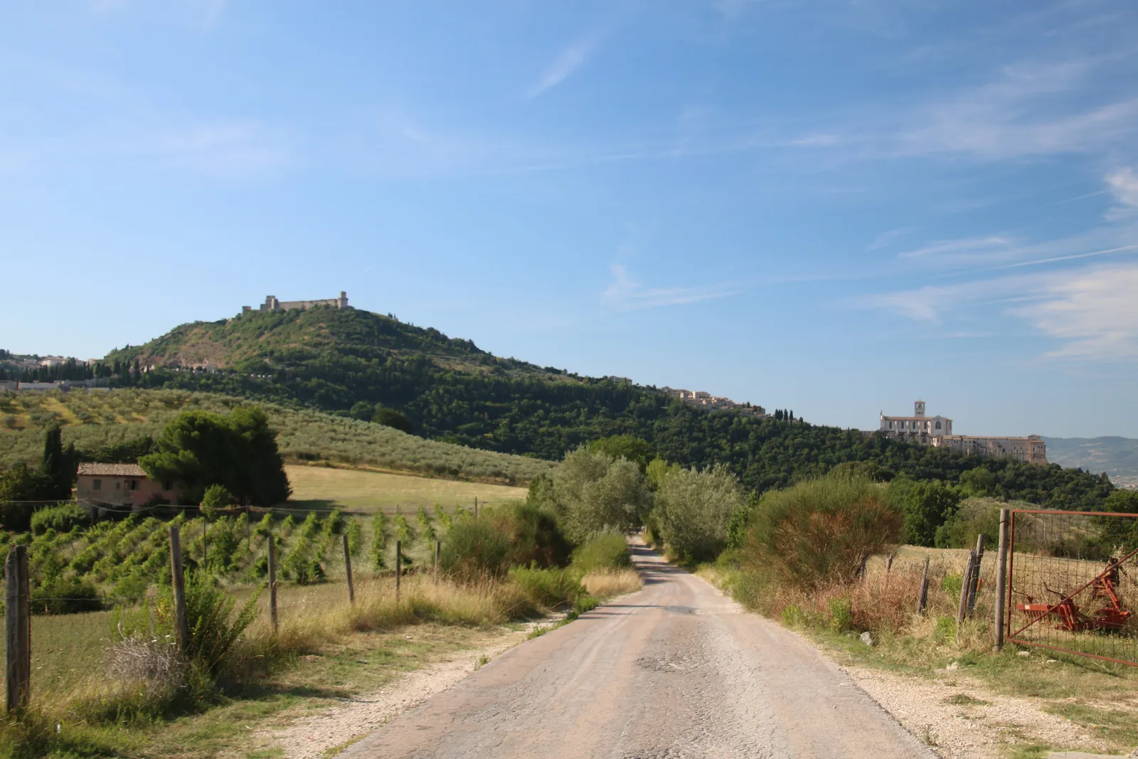
Photo: Mongolo1984, CC BY-SA 4.0, via Wikimedia Commons
- Distance
- about 500 km (311 miles)
- Country
- Italy
- Difficulty
- Moderate to challenging
- Type of trip
- Hiking trail
The Via di Francesco is a walk between places from the life of St Francis, and you can also ride it by bike or on horseback. Branches from Florence and Rimini meet at the sanctuary of La Verna in Tuscany. From there it runs down the Upper Tiber valley into Umbria, through Città di Castello and Gubbio, to Francis’s tomb in Assisi. The southern half carries on past Spoleto, down the Nera valley, through the Rieti valley in Lazio and the Sabina to St Peter’s in Rome. It’s signed in both directions, with yellow and blue signs and paint marks and a yellow Tau, the Franciscan cross.
You sleep in the towns and villages along the way. Umbria’s tourist board lists places to stay, and the Lazio volunteers’ site, viadifrancescolazio.it, covers the stretch to Rome. If you want the Testimonium, the certificate for reaching the tomb in Assisi, you need the pilgrim credential, stamped where you stay. Ask for it at least 3 weeks before you leave, or 2 months if it’s posted outside Italy. The diocese of Gubbio sends it free and asks for a donation. You need at least 100 km on foot, or 200 km by bike, and you collect the Testimonium in person at the Statio Peregrinorum in the Sacro Convento.
Highlights along the way
- La Verna: The sanctuary sits in the Casentinesi Forests National Park, a few kilometres from Chiusi della Verna. Francis stayed here several times, and it’s where he received the stigmata in September 1224.
- Gubbio: After giving up all his possessions in front of the bishop of Assisi, Francis walked to Gubbio, where his friend Spadalonga took him in. It’s also the town of the story of Francis and the wolf.
- Assisi: Francis is buried in the Basilica of St Francis. From April to October there’s a pilgrims’ Mass every day, where walkers who arrived on foot are greeted by name.
- Spoleto and Monteluco: The Umbria site calls the 17 km from Spoleto to Ceselli one of the harder stages, with steep climbs early on. You pass the Ponte delle Torri bridge and the Monteluco hermitage before dropping into the Nera valley.
- The Marmore falls and the Rieti valley: The 13 km from Arrone to Piediluco goes past the Marmore falls. Over the border in Lazio, the route links the Franciscan sanctuaries of Poggio Bustone, La Foresta, Fontecolombo and Greccio, where Francis set up the first live nativity scene.
Distance
About 500 km (311 miles) from La Verna to Rome by Italian Wikipedia’s count, though the stages it lists add up to nearer 440 km (273 miles) on the main line. That list has 8 stages and about 192 km (119 miles) from La Verna to Assisi, then 14 stages and about 248 km (154 miles) from Assisi to Rome. Stages run from about 12 km (7.5 miles) to 38 km (23.6 miles). Starting in Florence adds 96.3 km (59.8 miles) to La Verna on the northern path, or 91 km (57 miles) on the southern one.
Best time to go
The official sites don’t name a best season. On the side stage from Assisi to Cannara, which has little shade, the Umbria site says to take a hat, sun cream and plenty of water in summer, and to refill at public fountains. In November 2026 Visit Tuscany said works on the left bank of the Arno had cut the first stage of the southern path out of Florence near Piazza Ravenna. Check the stage pages at viadifrancesco.it, where problems are flagged, before you set off.
More journeys in Italy
- to Tuscany by bike · Yael Zekaria
- Euro Trip 2024 · mmalty
- Istanbul To Ashby · Harry
- Sicily Tour · fredmarien
- Livigno 2026 · Marc
- UK to Georgia by Bike · Simon & Lucy
Flyby films from Italy
- Alta_Via_1_day_1_ · harryknoblauch12
- Plane trip Saturday · fredmarien
- Dag 9: Innsbruck - Bruneck · johan
- Salzburg to Nice · Lucy
More routes like this
- Via degli Dei on foot · 124 km (77 miles) · Italy
- Sentiero degli Dei (Path of the Gods) · 8 km (5 miles) · Italy
- Via Alpina on foot · 2,000 km (1,240 miles) · Slovenia, Italy, Austria, Germany, Switzerland, Liechtenstein, France, Monaco
- Cammino dei Briganti on foot · about 108 km (67 miles) · Italy
- Cammino di Oropa on foot · about 65 km (40 miles) · Italy
- Tour du Mont Blanc trek · about 170 km (105 miles) · France, Italy, Switzerland