Great Divide Mountain Bike Route
- Distance
- about 4,418 km (2,745 miles)
- Countries
- Canada, USA
- Difficulty
- Very challenging
- Type of trip
- Cycling route
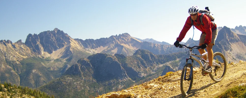
The Great Divide Mountain Bike Route follows the Rocky Mountains from Canada to the Mexican border. It was mapped by the Adventure Cycling Association and completed in 1997. The classic route runs about 4,418 km from Banff in Alberta to Antelope Wells in New Mexico. The association has since extended it north to start in Jasper. It passes through Alberta, British Columbia, Montana, Idaho, Wyoming, Colorado and New Mexico. Most of it is unpaved: gravel roads, forest tracks and some singletrack. The association puts the paved share at about 30%. It crosses the Continental Divide 30 times and climbs more than 61,000 m (200,000 ft) in total.
Most riders head south and take six to ten weeks, carrying camping kit and food on the bike. Towns are usually two or three days apart, and water can be scarce for long stretches, especially between Pinedale and Rawlins in Wyoming. Grizzly and black bears live along the route north of Pinedale, so carry bear spray and store food properly. The Tour Divide, an unsupported race on the route, starts in Banff on the second Friday in June. The record is under 12 days.
Highlights along the way
- Banff: the classic start, and the start of the Tour Divide. The route heads south through the Canadian Rockies into British Columbia.
- Grand Teton National Park: in north-west Wyoming, the route passes through the park on its way south from Montana and Idaho.
- Great Divide Basin: a high, open basin in Wyoming, where food and water stops are far apart and you need to carry more water.
- Boreas Pass: an 11,481 ft (3,499 m) gravel pass near Breckenridge in Colorado, on an old narrow-gauge railway line. The route’s high point is Indiana Pass, further south in Colorado, at 11,913 ft (3,631 m).
- Antelope Wells: the end, a tiny border crossing in New Mexico’s Bootheel that’s open 10 am to 4 pm.
Distance
About 4,418 km (2,745 miles) from Banff to Antelope Wells. The full route from Jasper is about 4,967 km (3,086 miles).
If you have a GPX of this route from its official site or a planning app, open it in our free GPX viewer to see the distance, the climb and the height profile. The file stays on your device.
Best time to go
The association says to ride from late June to mid-October. Snow can linger in the northern Rockies until late June or early July, so that’s the earliest safe start there. In New Mexico, summer monsoon rain can turn some roads to mud. Check the Adventure Cycling Association’s route updates for detours and fire closures before you go.
More journeys in Canada, USA
- Biking Across Canada For Charity · Jeremy
- Long Trail · Lynn
- US Road Trip · Julia & James
- Southwest USA Road Trip · Qinggong
- World Trip - One Planet Expedition · David Bossek (Nature Nomad World)
- 🎶 I Would Drive 5000 Miles 🎶 · Matt
Flyby films from Canada, USA
- Friday 6th · Xiao
- Day 20 · Lynn
- Ginkgo forest · Xiao
- Second day · Camila
More routes like this
- Pacific Coast Bike Route · about 2,950 km (1,830 miles) · Canada, USA
- TransAmerica Trail by bike · 6,804 km (4,228 miles) · USA
- Cabot Trail by bike · about 298 km (185 miles) · Canada
- La Route Verte by bike · about 5,400 km (3,355 miles) · Canada
- North Sea Cycle Route in Germany (Nordseeküstenradweg) · about 900 km (560 miles) · Germany
- Rhine Cycle Route (EuroVelo 15) · about 1,233 km (766 miles) · France, Germany, Netherlands, Switzerland, Austria, Liechtenstein