Long Trail (Vermont)
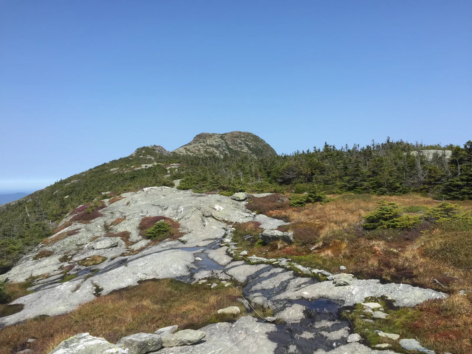
Photo: Famartin, CC BY-SA 4.0, via Wikimedia Commons
- Distance
- 438 km (272 miles)
- Country
- USA
- Difficulty
- Challenging
- Type of trip
- Hiking trail
The Long Trail runs 272 miles (438 km) along the main ridge of the Green Mountains, the whole length of Vermont, from the Massachusetts border to the Canadian border. Green Mountain Club volunteers built it between 1910 and 1930, and it's the oldest long-distance hiking trail in the United States. More than 300 people walk the whole thing each year, and most take three to four weeks. It's steep and rocky, with plenty of roots and mud, especially in the northern half, so expect to cover fewer miles a day than on other long trails.
You sleep at about 70 free overnight sites, first come, first served, from tent spots to three-sided lean-tos and lodges with bunks. Each has a composting toilet and a water source you should treat. Tenting isn't allowed above 2,500 ft (760 m). Sites with a caretaker run on donations, and you don't need a permit to walk the trail on your own. Most people carry 3 to 5 days of food and resupply in towns such as Bennington, Manchester, Waterbury, Stowe and Johnson.
Highlights along the way
- The Appalachian Trail stretch: The southern 100 miles (160 km) share the path with the Appalachian Trail, through wilderness areas of the Green Mountain National Forest and over Glastenbury and Stratton mountains, as far as Maine Junction near Killington. There the AT turns east for New Hampshire. This half is busier and gentler, which is why most people start at the south end and walk north.
- Camel's Hump: Volunteers cut the very first section in 1910, from Camel's Hump to Sterling Pond. The bare summit has about 10 acres of alpine tundra, with plants like those in the Arctic, so stay on the rock and inside the string lines.
- Mount Mansfield: Vermont's highest mountain, and one of five peaks over 4,000 ft that the trail climbs. The trail runs along its open summit ridge, where about 110 acres of alpine tundra grow, most of what's left in the state. Taft Lodge, on its slopes, is the oldest and largest overnight site on the trail, and over 100 years old.
- Belvidere Mountain: In September 2026 the club opened a new 0.9-mile (1.4 km) route north of Route 118 in Eden, in place of a steep, badly eroded stretch. From Belvidere Saddle a short side trail goes up to a 70-ft fire tower on the summit.
- Jay Peak: The last big summit before Canada. By 1927 the trail reached Jay Peak from Massachusetts, and the final link to the border was finished in September 1930.
Distance
272 miles (438 km) in all, by the Green Mountain Club's figure. Wikipedia gives 273. The southern 100 miles (160 km) are shared with the Appalachian Trail and 23 miles (37 km) with the North Country Trail. Overnight sites are roughly 5 to 10 miles (8 to 16 km) apart, and people's days range from 5 to more than 20 miles depending on the ground and how fit they are.
Best time to go
The club recommends starting in July, August or September. June is popular too, but there can still be snow up high and the black flies are at their worst. April and May are mud season, when you're asked to keep off the high ground while the trails thaw, and from October to March the mountains count as winter and the club advises against a thru-hike. On the ridge the weather can turn at any time, with rain, fog, wind and sudden cold even in summer. Check the trail updates page on greenmountainclub.org before you go. In autumn 2026 it listed reroutes and repairs, including work on Taft Lodge from 8 September to the end of October.
More journeys in USA
- US Road Trip · Julia & James
- Southwest USA Road Trip · Qinggong
- World Trip - Zero Impact Expedition · David
- Second day · Camila
- Utah Or Bust. · Matthew
- On the road to Harpes Ferry · Xiao
Flyby films from USA
- Ginkgo forest · Xiao
- Second day · Camila
- Saindo de lake Havasu City · Camila
- ALASKA or BUST! · Matt
More routes like this
- Continental Divide Trail · about 4,900 km (3,100 miles) · USA, Canada
- Superior Hiking Trail · about 480 km (300 miles) · USA
- Arizona Trail · about 1,290 km (800 miles) · USA
- Pacific Crest Trail · about 4,265 km (2,650 miles) · USA
- Appalachian Trail · 3,537 km (2,198 miles) · USA
- Wonderland Trail · about 150 km (93 miles) · USA