Colorado Trail
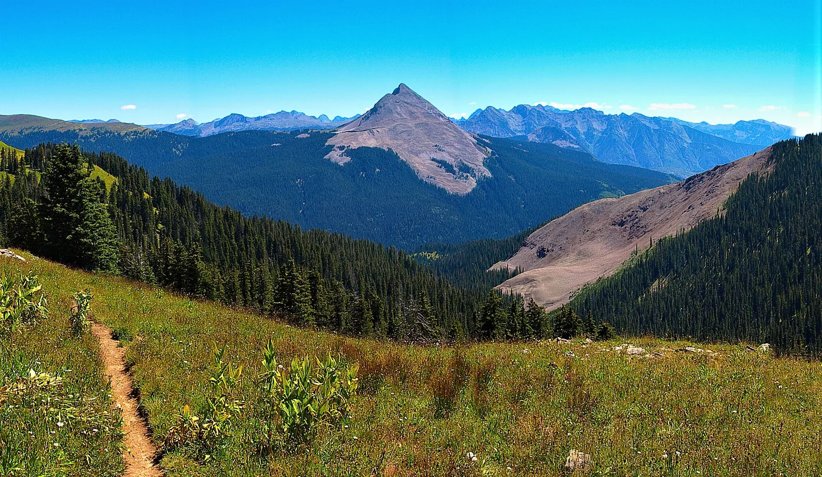
Photo: James Charnesky, CC BY 2.0, via Wikimedia Commons
- Distance
- 782 km (486 miles)
- Country
- USA
- Difficulty
- Challenging
- Type of trip
- Hiking trail
The Colorado Trail runs 782 km (486 miles) through the Rocky Mountains, from the mouth of Waterton Canyon south-west of Denver to Durango. It crosses eight mountain ranges and six wilderness areas, and most of it is above 3,000 m (10,000 ft). The Colorado Trail Foundation, a non-profit, built it with the US Forest Service and still looks after it. The two ends were joined up in 1987. It's split into 28 segments, and most thru-hikers take 4 to 6 weeks, usually going east to west so they meet the higher, snowier San Juan Mountains last. Hikers, horse riders and mountain bikers can all use it, but bikes aren't allowed in the six wilderness areas and have to go round them.
There's almost nowhere to stay on the trail itself. You carry a tent and food and camp wild, and drop into towns such as Breckenridge, Leadville, Salida and Silverton to resupply. You don't need a permit for the trail itself, but you sign in at trailheads where it enters a wilderness area.
Highlights along the way
- Waterton Canyon: The first 6.2 miles (10 km) follow a gravel road up the South Platte River to Strontia Springs Dam. Look out for the canyon's bighorn sheep. Denver Water, which owns the canyon, doesn't allow dogs on its trails, to protect them.
- Kenosha Pass and Georgia Pass: After the Lost Creek Wilderness the trail reaches Kenosha Pass, with wide views over South Park, then climbs to Georgia Pass, the first crossing above 11,000 ft (3,350 m).
- Tenmile Range: Between Breckenridge and Copper Mountain the trail is above the treeline for nearly four miles, on a ridge just under 12,500 ft (3,810 m) looking down on Breckenridge and Lake Dillon.
- Collegiate West: At Twin Lakes you can stay on the main Collegiate East route or take Collegiate West, a higher and harder alternative that rejoins near Monarch Pass. On it the trail shares another 80 miles (130 km) with the Continental Divide Trail.
- San Juan Mountains: The western half is wilder. From Spring Creek Pass the trail stays near or above 12,000 ft (3,660 m) for long stretches and reaches its highest point, 13,271 ft (4,045 m), on the slopes of Coney. One 35-mile stretch, between Spring Creek and the Elk Creek drainage, is above the treeline with no shelter from storms. Then it's on to Molas Pass and the long descent to Junction Creek, about 3.5 miles (5.6 km) north of Durango.
Distance
782 km (486 miles) from Waterton Canyon to Durango, the figure Wikipedia gives. Other sources give slightly different totals. The trail climbs and drops about 89,000 ft (27,100 m) in all. The lowest point is about 5,500 ft (1,700 m) at the Denver end. For 235 miles (378 km) of the Collegiate East route it shares the path with the Continental Divide Trail.
Best time to go
The practical season for the whole trail is roughly July to September. Wikivoyage gives late June to early September. The low sections near Denver are often open from April to June, but in winter deep snow makes most of the trail very hard going, and early in the season snow can still hide the path in the high country. Snow can fall in any month. July and August bring the monsoon, with frequent afternoon thunderstorms, so get off the high ground by midday. Before you go, check Denver Water's Waterton Canyon page for works in the canyon, and the Colorado Trail Foundation for trail conditions.
More journeys in USA
- US Road Trip · Julia & James
- Southwest USA Road Trip · Qinggong
- World Trip - Zero Impact Expedition · David
- Second day · Camila
- Utah Or Bust. · Matthew
- On the road to Harpes Ferry · Xiao
Flyby films from USA
- Ginkgo forest · Xiao
- Second day · Camila
- Saindo de lake Havasu City · Camila
- ALASKA or BUST! · Matt
More routes like this
- Wonderland Trail · about 150 km (93 miles) · USA
- Arizona Trail · about 1,290 km (800 miles) · USA
- John Muir Trail · 340 km (211 miles) · USA
- Continental Divide Trail · about 4,900 km (3,100 miles) · USA, Canada
- Appalachian Trail · 3,537 km (2,198 miles) · USA
- Superior Hiking Trail · about 480 km (300 miles) · USA