Ruta de las Xanas on foot
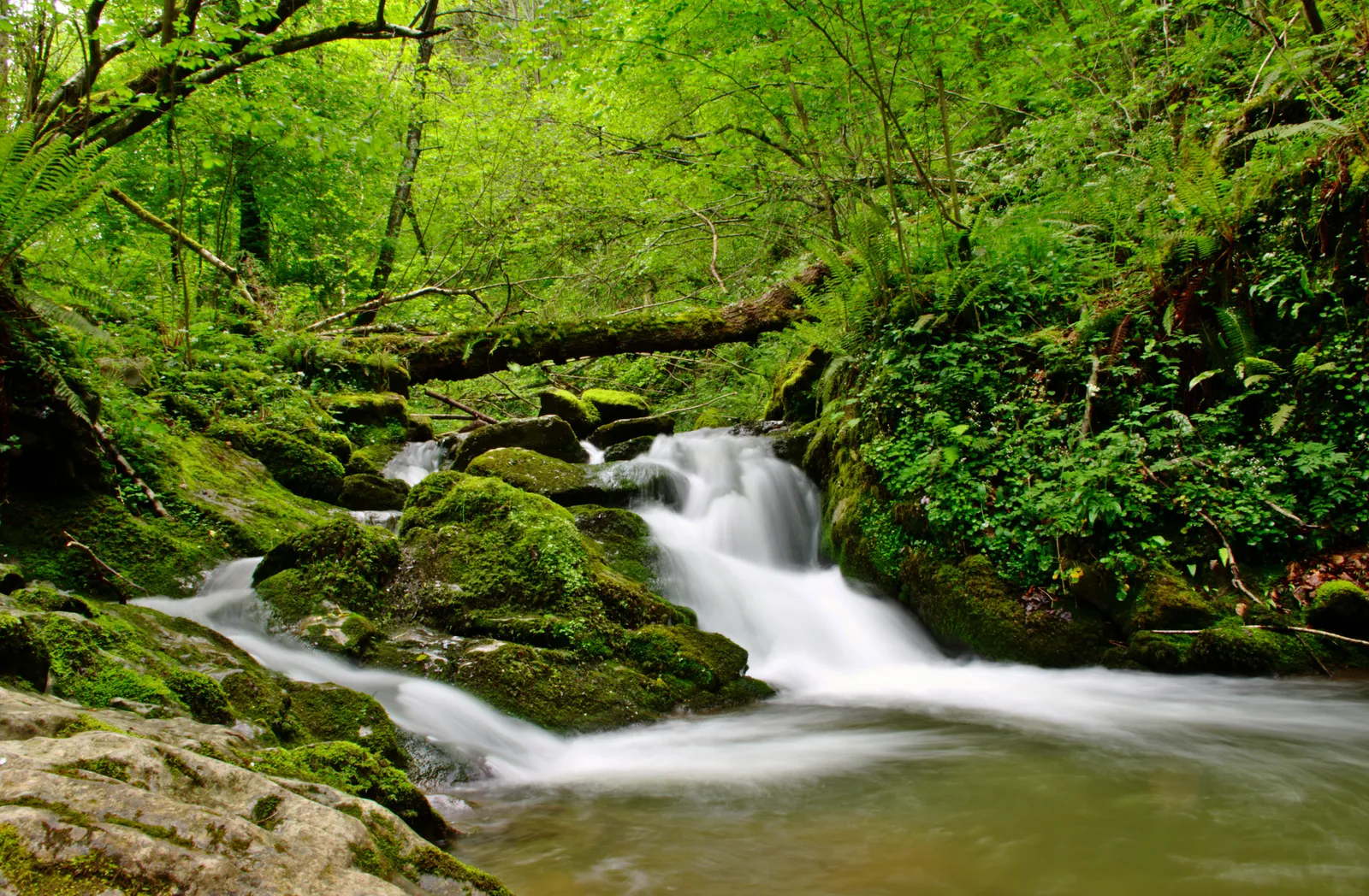
Photo: Eduardo Diez Viñuela, CC BY-SA 3.0, via Wikimedia Commons
- Distance
- 9 km (6 miles)
- Country
- Spain
- Difficulty
- Moderate
- Type of trip
- Hiking trail
The Ruta de las Xanas is a short circular walk in central Asturias through a limestone gorge that local walkers call the little Cares, after the Cares gorge in the Picos de Europa. It starts at the Molín de las Xanas picnic area, just before Villanueva in Santo Adriano, about 11 km from Trubia on the Proaza road. That’s right by the Senda del Oso, so it’s easy to combine the two. The path goes up the gorge to Pedroveya, then along to Dosango and back down on the Valdolayés path. Turismo Asturias gives 9.03 km and 3 to 5 hours, and rates it medium. The xanas it’s named after are the water and forest nymphs of Asturian folklore. The gorge and 200 hectares around the stream became a protected natural monument in April 2002.
It’s a day walk, with parking at the picnic area and no permits or bookings. The gorge stretch is the reason to come and the part to take seriously. The path was cut halfway up the rock face, it’s under 2 m wide for most of the way, and there are tunnels, wooden footbridges and patches of scree with wooden posts or fixed ropes to hold. It’s waymarked as a PR, a short local route, and Turismo Asturias has GPX and KML tracks to download. The second half crosses pasture with livestock, so keep dogs on a lead and leave any guard mastiffs alone. Take all your rubbish home.
Highlights along the way
- The gorge: The Xanas stream has cut a gorge up to 100 m deep into the west side of the Sierra del Aramo, about 2 km long. Strawberry trees, holm oaks and yews grow out of the bare rock.
- Tunnels and footbridges: The path was cut in the middle of the last century to link Pedroveya and Dosango with the Trubia valley. It was meant to become a road and never did, and the tunnels through the limestone are what’s left.
- Woods and wildlife: Hazel, ash, lime, oak and beech line the gorge, and above it the path goes into cooler, shadier woodland. Otters and Pyrenean desmans live in the stream, a sign the water’s clean, and golden eagles, Egyptian vultures and peregrines are about.
- Pedroveya: The gorge opens out into the meadows of Pedroveya, and the first half of the walk ends by the chapel of San Antonio.
- Dosango and Valdolayés: A concrete lane climbs gently to Dosango, with views of the mountains. After the village, the Valdolayés path runs between meadows, stone walls and goat pastures before a track drops back to the Tenebreo road.
Distance
The official loop is 9.03 km (5.6 miles), with 437 m of climbing and the same down, between 197 m and 619 m. The gorge itself is about 2 km (1.2 miles) of that. A short stretch shares its line with the GR 106.
Best time to go
Turismo Asturias lists the walk for all year. In winter, with 3 to 5 hours to allow, start early enough to finish in daylight. In summer the shady woods above the gorge help. For the latest track and any notices, check the route page on turismoasturias.es before you go (checked November 2026).
More journeys in Spain
- Camino De Santiago · Julia & James
- France Spain 2024 · Greg
- Cycling the Basque Region · Lucy
- Sailing Around The World · Adam
- Road trip tenerife · Josephine
- Camino De Santiago · Ruth
Flyby films from Spain
- Tenerife · Josephine
- The Great Escape · saeunn
- Bilbao to....? · Greg
- León, Mediterranean disease · Eike
More routes like this
- Camino del Norte · 820 km (510 miles) · Spain
- Ruta del Alba on foot · 14 km (9 miles) · Spain
- Camino Olvidado · about 532 km (331 miles) · Spain
- Camino Portugués on foot · 241 km (150 miles) · Portugal, Spain
- Jakobsweg on foot · about 770 km (480 miles) · Germany, Spain, France, Austria
- Camino Sanabrés · about 362 km (225 miles) · Spain