Camino Portugués on foot
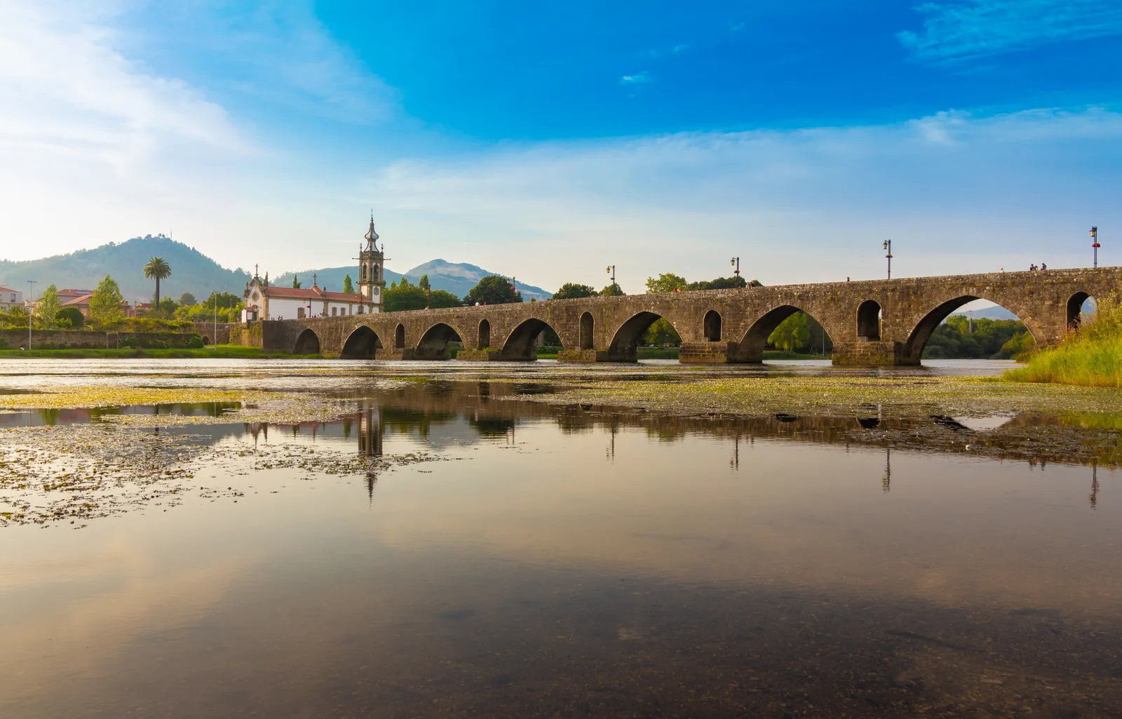
Photo: Alejandro Piñero Amerio, CC BY-SA 4.0, via Wikimedia Commons
- Distance
- 241 km (150 miles)
- Countries
- Portugal, Spain
- Difficulty
- Moderate
- Type of trip
- Hiking trail
The Camino Portugués goes north from Porto to Santiago de Compostela, and this guide is for walking it. There are two main lines. The central route goes inland through Barcelos and Ponte de Lima, crosses the Miño from Valença to Tui, and carries on through Pontevedra and Padrón, about 240 km in all. The coastal route follows the Atlantic to Caminha, enters Galicia at A Guarda and comes through Baiona and Vigo to join the central route at Redondela, about 270 km. The Gronze guide splits them into ten and 13 stages. If you’re riding, Pebbls has a separate guide to the Camino Portugués by bike, and one for the Camino Francés.
In 2025 it was the second busiest way to Santiago after the Francés, with 19% of pilgrims, and the coastal route was third with 17%. Tui is 118.8 km from Santiago, just over the 100 km you need to walk for the Compostela, with your credencial (pilgrim passport) stamped at the start and end of each stage. Of those who got the Compostela on the central route, 41% started in Tui and 26% in Porto. On the coastal route 51% started in Porto. You sleep in albergues (pilgrim hostels), guesthouses and hotels. There’s no permit.
Highlights along the way
- Ponte de Lima: It got its charter in 1125, which makes it the oldest chartered town in Portugal, and it’s named after its medieval bridge over the Lima. The stage before it, from Barcelos, is the longest on the central route at 34.5 km.
- Alto da Portela Grande de Labruja: Gronze calls it the biggest climb on the Camino Portugués, 315 m up in 4.2 km through woodland between Ponte de Lima and Rubiães. There are no services from Codeçal until Rubiães.
- Valença and Tui: Valença has its fortress on the Portuguese bank. You cross the Miño into Spain on the international bridge, which has a footway kept apart from the traffic.
- A Guarda to Baiona: The coastal route reaches Galicia under Monte Santa Tegra and passes the Cistercian monastery at Oia, on a stretch open to the wind and Atlantic storms. In Baiona the caravel Pinta landed on 1 March 1493 with the first news of Columbus’s voyage to America.
- The Variante Espiritual: From Pontevedra you can swap two stages for this variant through A Armenteira and Vilanova de Arousa. From Vilanova a lot of people take the boat up the Ría de Arousa and the Ulla to Pontecesures, which Gronze calls pretty but expensive.
Distance
The central route from Porto is about 241 km (150 miles) by Gronze’s ten stages, which run from 17.4 to 34.5 km. The coastal route is 187 km from Porto to Redondela, then another 84 km on the shared route, about 271 km (168 miles) in all. From Lisbon it’s about 620 km (385 miles).
Best time to go
The season is March to October. On the central route most pilgrims finish between May and September, and on the coastal route May and September are the busiest months. The pilgrim albergue at Rubiães, the usual stop after the Labruja climb, is shut for works from 15 November 2026 to 31 January 2027 (Gronze, November 2026). For the public albergues in Galicia, see the Xunta de Galicia’s site, caminodesantiago.gal.
More journeys in Portugal, Spain
- Camino De Santiago · Ruth
- Camino De Santiago · Julia & James
- France Spain 2024 · Greg
- Cycling the Basque Region · Lucy
- Sailing Around The World · Adam
- Road trip tenerife · Josephine
Flyby films from Portugal, Spain
- Tenerife · Josephine
- The Great Escape · saeunn
- Bilbao to....? · Greg
- León, Mediterranean disease · Eike
More routes like this
- Camino Sanabrés · about 362 km (225 miles) · Spain
- Caminito del Rey on foot · 8 km (5 miles) · Spain
- Ruta del Alba on foot · 14 km (9 miles) · Spain
- Camino Lebaniego · about 73 km (45 miles) · Spain
- Camino Primitivo · about 320 km (199 miles) · Spain
- Ruta del Cares on foot · 22 km (14 miles) · Spain