Carros de Foc on foot
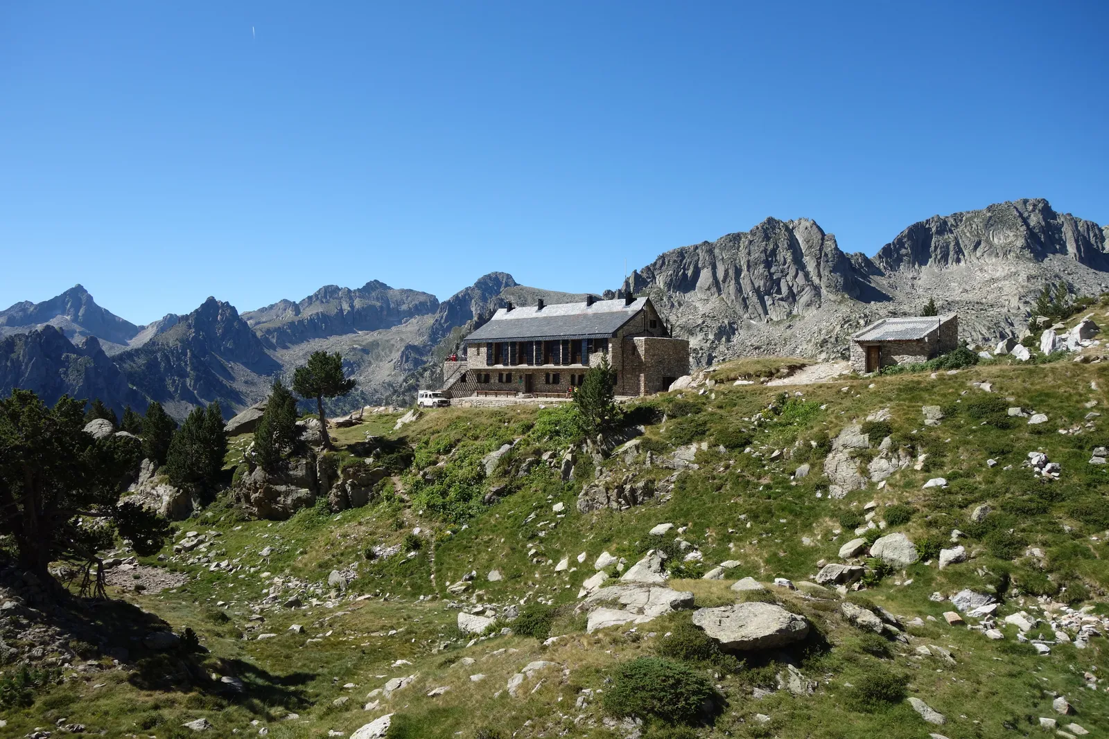
Photo: Pimlico27, CC BY-SA 4.0, via Wikimedia Commons
- Distance
- about 65 km (40 miles)
- Country
- Spain
- Difficulty
- Challenging
- Type of trip
- Hiking trail
Carros de Foc is a circular walk that links the nine staffed mountain refuges of the Aigüestortes i Estany de Sant Maurici national park, the only national park in Catalonia. The official site gives 65 km and 5 to 7 days, at an average height of 2,400 m. You can start at any refuge and go round in either direction. The main ways in are Espot and Boí, where 4x4 taxis run up to the Sant Maurici lake and the Aigüestortes plain, as private cars aren’t allowed inside the park. You sleep in the refuges, and you have to book them through the Carros de Foc central booking office. The €40 forfait is a card you get stamped at each refuge, and it comes with a 1:50,000 map from Editorial Alpina.
It isn’t a waymarked trail. There’s no special marking for Carros de Foc. Some sections share the red and white of the GR 11, some have yellow wooden posts, and a lot of it follows cairns, so the official site says a map is essential. It’s high mountain ground and can get hard in bad weather. There’s no phone signal on 60 to 70% of the route, most refuges only take cash, camping and bivouacking are banned in the park, and there’s no bag transfer.
Highlights along the way
- Estany de Sant Maurici: The lake near Espot, with the twin peaks of Els Encantats behind it, is the park’s emblem. Ernest Mallafré, the lowest refuge at 1,950 m, is one of the three refuges on the Espot side.
- Amitges: A refuge at 2,380 m run by the Centre Excursionista de Catalunya, and one of only two on the loop that takes cards. When the staffed part is shut, an emergency room with 12 places stays open.
- Collado de Contraix: At 2,745 m, the highest point of the loop.
- Colomers and Restanca: The refuges on the Val d’Aran side. In summer taxis run from the Val d’Aran to the start of the paths up to them, and around Colomers there’s a circuit of the lakes of the Circ de Colomèrs. Saboredo is the smallest refuge, with 18 places.
- Colomina: The highest refuge, at 2,395 m, on the south side. From the Vall Fosca a cable car runs from the Sallente reservoir to the Estany Gento, a walk from Colomina.
Distance
About 65 km (40 miles) in all, by the official site, with about 9,200 m of climbing and descending added together. The refuges sit between 1,950 m and 2,395 m, and the highest pass is the Collado de Contraix at 2,745 m. Catalan Wikipedia recommends at least four days, though in the race version people have gone round in under 24 hours.
Best time to go
The refuges are staffed in summer, and each sets its own dates. In 2026 the Catalan tourism site femturisme.cat gave Estany Llong’s season as 1 June to 15 October, and Amitges opens to its own calendar. Check each refuge’s site, linked from carrosdefoc.com, before you plan. The official FAQ says to book well ahead for July and August. Your place is held until 19:00 on the day, so ring the refuge if you’ll be late.
More journeys in Spain
- Camino De Santiago · Julia & James
- France Spain 2024 · Greg
- Cycling the Basque Region · Lucy
- Sailing Around The World · Adam
- Road trip tenerife · Josephine
- Camino De Santiago · Ruth
Flyby films from Spain
- Tenerife · Josephine
- The Great Escape · saeunn
- Bilbao to....? · Greg
- León, Mediterranean disease · Eike
More routes like this
- Camí de Ronda (Costa Brava) on foot · 200+ km (124+ miles) · Spain
- Camino Lebaniego · about 73 km (45 miles) · Spain
- Camino Sanabrés · about 362 km (225 miles) · Spain
- GR 11 (Senda Pirenaica) on foot · about 840 km (520 miles) · Spain, Andorra
- Camino Portugués on foot · 241 km (150 miles) · Portugal, Spain
- Camino del Norte · 820 km (510 miles) · Spain