Camí de Ronda (Costa Brava) on foot
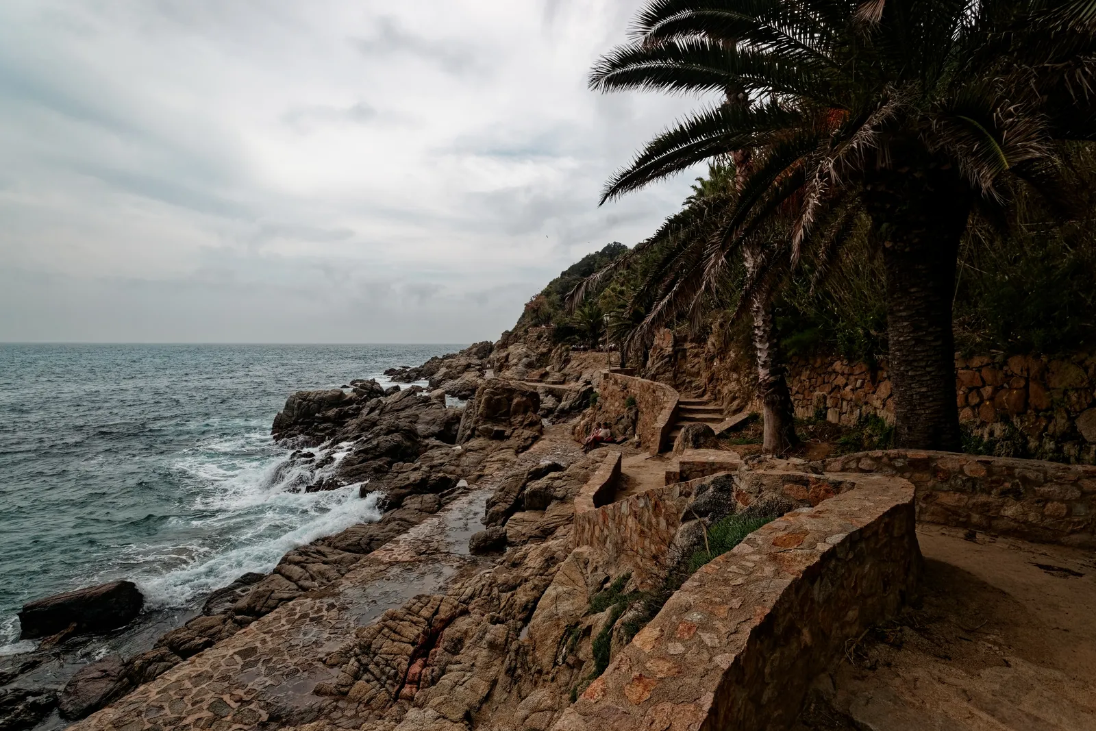
Photo: Txllxt TxllxT, CC BY-SA 4.0, via Wikimedia Commons
- Distance
- 200+ km (124+ miles)
- Country
- Spain
- Difficulty
- Moderate
- Type of trip
- Hiking trail
The Camí de Ronda is the Catalan name for the old footpaths along the Costa Brava, between Blanes in the south and Portbou on the French border. It isn't one continuous trail. Spanish Wikipedia counts about 130 km of these paths in broken stretches, and to walk the whole coast you follow the GR 92, which follows many of them. Costa Brava tourism puts the GR 92 from Blanes to Portbou at more than 200 km. Wikivoyage splits Portbou to Lloret de Mar into 11 day stages of 10 to 23 km, so allow about two weeks. You sleep in hotels, guesthouses and campsites in the towns. Wild camping is illegal in Catalonia, and in summer you should book.
The paths are old. They were used for fishing, cork and grazing, and by patrols watching for pirates and smugglers. A water law of 1866 kept the first 20 m of the shore for rescue and customs work, and after the civil war the paths helped police the black market. A 1954 Girona planning rule made building and keeping up the paths compulsory, but the wording was loose, so some stretches are paved promenades and others are narrow tracks over rock. There's no railway along the coast between Llançà and Blanes. Wikivoyage suggests the train to Girona or Figueres, then a bus to the coast.
Highlights along the way
- Blanes to Tossa de Mar: Almost 21 km of constant up and down. Sant Joan castle looks over the bay at Blanes, there are watchtowers at the Santa Cristina sanctuary in Lloret, and at Tossa you come down to the Codolar cove under the old town walls.
- S'Agaró: Between Sant Feliu de Guíxols and Palamós, 17 km, the path follows a promenade at S'Agaró designed by Rafael Masó in 1916, then drops to coves such as Cala del Molí and Cala Maset.
- Calella de Palafrugell to Tamariu: About 7 km with gentle slopes. At Sant Sebastià, 170 m above the sea, there's a 19th-century lighthouse, an 18th-century chapel, a 15th-century watchtower and an Iberian site from the 6th century BC.
- Cap de Creus: The easternmost point of mainland Spain, now a natural park. Dalí painted it and lived nearby at Portlligat. The walk out from Cadaqués is rough and rocky and leaves the GR 92 on red and green marks, so wear proper shoes.
- Llançà to Colera: An easy 7 km near the French border, past the beaches of Grifeu, Cros, Canyelles and Garbet.
Distance
200+ km (124+ miles) on the GR 92 from Blanes to Portbou, of which about 130 km (81 miles) are the old camí de ronda paths. Wikivoyage calls Sant Feliu de Guíxols to Tossa de Mar the hardest stage, 23 km with 640 m of climbing over the headlands. The GR 92 itself carries on down the whole Catalan coast, 583 km (362 miles) from Portbou to Ulldecona.
Best time to go
Wikivoyage says spring is best, cooler and quieter, and summer is hot and busy. Springs on the path are unreliable, especially in summer, so fill up with water in each town. The marking isn't always good, so carry a map or GPS. Up by Cap de Creus the tramuntana, a strong north wind, blows often, and it's worth checking the forecast before the exposed stretches.
More journeys in Spain
- Camino De Santiago · Julia & James
- France Spain 2024 · Greg
- Cycling the Basque Region · Lucy
- Sailing Around The World · Adam
- Road trip tenerife · Josephine
- Camino De Santiago · Ruth
Flyby films from Spain
- Tenerife · Josephine
- The Great Escape · saeunn
- Bilbao to....? · Greg
- León, Mediterranean disease · Eike
More routes like this
- Camino del Norte · 820 km (510 miles) · Spain
- Carros de Foc on foot · about 65 km (40 miles) · Spain
- Camino Lebaniego · about 73 km (45 miles) · Spain
- Camino Sanabrés · about 362 km (225 miles) · Spain
- Camino Portugués on foot · 241 km (150 miles) · Portugal, Spain
- Camino Inglés · about 112 km (70 miles) · Spain