Speyside Way
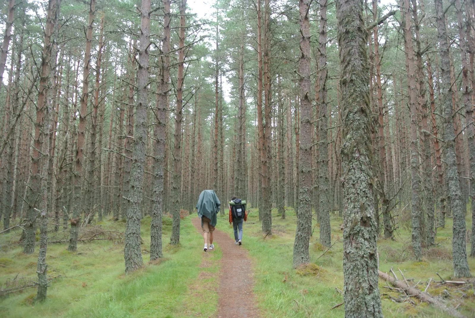
Photo: Blazine, CC BY-SA 4.0, via Wikimedia Commons
- Distance
- 137 km (85 miles)
- Country
- Scotland
- Difficulty
- Easy to moderate
- Type of trip
- Hiking trail
The Speyside Way starts in Buckie, on the Moray Firth, and follows the valley of the Spey inland to Newtonmore in the Cairngorms National Park. The route's own website says most people take 6 to 8 days, and Scotland's Great Trails gives 6 to 9. It's well waymarked, the climbing is modest, and Scotland's Great Trails says it generally suits beginners. It isn't a riverside walk, though. You cross the Spey many times and walk beside it in places, but much of the way is old railway line, forest track, field path and minor road. It's traditionally walked upstream from Buckie, where the first days are shorter and flatter. There's also an optional spur to Tomintoul over exposed moorland.
There are no permits. You sleep in the villages, mostly in B&Bs, but some close out of season and most are busy in season, so book ahead. Ballindalloch is the name of an old railway station, not a village, and beds near it are hard to find. Most people split the long last day, Aviemore to Newtonmore, often at Kincraig. Wild camping is legal under the Scottish Outdoor Access Code, and there are campsites too. Aviemore and Newtonmore are on the main railway between Edinburgh and Inverness. For Buckie, take a train to Elgin and the number 35 bus.
Highlights along the way
- Spey Bay: After following the coast from Buckie, the Way reaches the mouth of the Spey, where the Scottish Dolphin Centre has a café.
- Craigellachie and Aberlour: Craigellachie has a Telford bridge, and between there and Aberlour there are several distilleries to choose from. This is the valley where legal whisky distilling began.
- Ballindalloch Viaduct: After Aberlour the Way follows the bed of the old Great North of Scotland Railway and crosses back over the Spey on this viaduct, built in 1863.
- Nethy Bridge and Abernethy: Nethy Bridge has four Telford bridges. Beyond it the path goes through the Abernethy National Nature Reserve towards the RSPB osprey centre at Loch Garten.
- Insh Marshes: On the last section you pass Loch Insh and Uath Lochans, go through the Insh Marshes National Nature Reserve and pass Ruthven Barracks on the way to Kingussie.
Distance
137 km (85 miles) from Buckie to Newtonmore. The official website splits the main route into six sections, from 17.2 km (10.7 miles) between Buckie and Fochabers to 31.4 km (19.5 miles) between Aviemore and Newtonmore. The Tomintoul spur is another 25.2 km (15.6 miles), with climbs to 475 m and 570 m, and you need a lift or taxi to get back to the main route.
Best time to go
You can walk it at any time of year. In winter the days are short and the ground is boggier, and some accommodation is closed. Midges and ticks are possible in summer, though less likely than in much of Scotland. The stretch between Ballindalloch and Cromdale is slow, with many chain gates, and hard going when it's wet. On the Tomintoul spur you need to be able to use a map and compass in mist. In early November 2026 the route news on speysideway.co.uk listed no closures on the Way itself. Check it again before you go.
More journeys in Scotland
- Scotland West Coast Train · Greg
- Cycling the Hebridean Way · Simon & Lucy
- The History of the Sea · saeunn
- Highland Adventure · Nick
- Christmas Ski Trip To Les Arcs · Peter
Flyby films from Scotland
- The Great Escape · saeunn
- Mallaig..and Train Back To Glasgow! · Greg
- THE ATLANTIC · SY
- Mallaig to Fort William · Simon & Lucy
More routes like this
- Great Glen Way · 121 km (75 miles) · Scotland
- John Muir Way · 215 km (134 miles) · Scotland
- Cape Wrath Trail · about 320 km (200 miles) · Scotland
- Skye Trail · about 128 km (80 miles) · Scotland
- Fife Coastal Path · 188 km (117 miles) · Scotland
- West Highland Way · 154 km (96 miles) · Scotland