Skye Trail
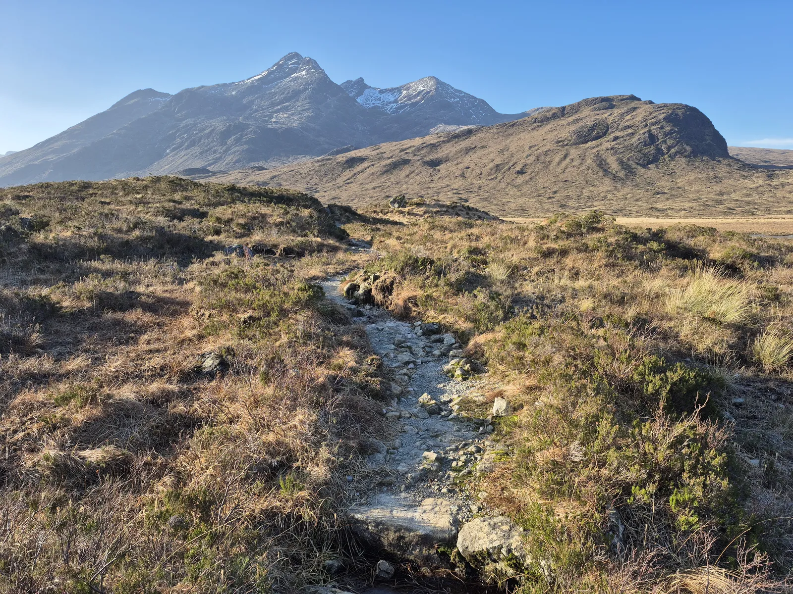
Photo: Steven Brown, CC BY-SA 2.0, via Wikimedia Commons
- Distance
- about 128 km (80 miles)
- Country
- Scotland
- Difficulty
- Challenging
- Type of trip
- Hiking trail
The Skye Trail runs about 128 km (80 miles) down the Isle of Skye, from Rubha Hunish at the island's northern tip to Broadford in the south. It's an unofficial route with no waymarks, and much of it is on pathless ground through remote country. The Cicerone guide splits it into seven stages, about a week, and says it's for experienced backpackers and mountain walkers. If you've walked the West Highland Way or the Great Glen Way, don't expect the same facilities or the same kind of ground.
With careful planning you can reach a bed at the end of every stage, and there are hostels at Flodigarry, Portree, Sligachan and Broadford. Book ahead for July and August and busy weekends. It also works as a backpacking trip, with plenty of places to wild camp, a couple of campsites and a bothy. Citylink buses run to Portree from Glasgow and Inverness, and a local bus loops round the Trotternish peninsula to Duntulm, near the start. Some B&Bs, campsites and cafés don't take cards, so carry cash. There are cash machines in Portree and Broadford.
Highlights along the way
- Rubha Hunish: The walk starts at the northern tip of Skye. You can wild camp out on the headland or sleep in the tiny old coastguard lookout, which is now a walkers' bothy.
- The Quiraing and the Trotternish Ridge: The hardest day climbs from Flodigarry through the rock towers of the Quiraing and onto the long escarpment of the Trotternish Ridge. It's long, very exposed to the weather and hard to navigate in poor conditions.
- The Storr to Portree: From the Storr you cross rough, pathless moorland above high cliffs. If there's time, a steep detour drops to Bearreraig Bay, a pebbly shore known for fossils and otters. Then it's into Portree, the island's capital.
- Glen Sligachan and Elgol: Glen Sligachan runs between the Red Hills and the Black Cuillin to the bay at Camasunary. From there a cliff path with big drops leads to Elgol, known for its view across Loch Scavaig. Very experienced walkers can go over Bla Bheinn instead, with a hard scramble between its two summits.
- Suisnish and Boreraig: The last day follows Loch Eishort past two villages emptied in the Highland Clearances, where sheep now wander among the ruined houses. Look out for seals and seabirds, and with luck an otter.
Distance
About 128 km (80 miles) in all, in seven stages. The Cicerone stages run from 11.5 km (7½ miles), Rubha Hunish to Flodigarry, up to 28.5 km (17¾ miles) with 1,750 m of climbing, Flodigarry to the Storr. The others are between 14 and 20 km (8¾ and 12½ miles). Added up, the climbing comes to about 4,200 m. The Bla Bheinn option, from Camasunary to Torrin, is 11 km (7 miles) with 970 m of ascent. You reach Portree after three days, which makes it a handy place to rest or resupply.
Best time to go
Cicerone says spring and summer are the best months, and early May is popular because it's before the midges. From June to the end of August the long days let you cover big distances. In winter the walk is extremely hard, with very short days, some places to stay shut, storms, strong wind, and snow and ice on the hills. Skye weather is unpredictable at any time of year. Every road the route crosses has a local bus, some more often than others, so check Stagecoach Highlands timetables if you might need to cut a day short.
More journeys in Scotland
- Scotland West Coast Train · Greg
- Cycling the Hebridean Way · Simon & Lucy
- The History of the Sea · saeunn
- Highland Adventure · Nick
- Christmas Ski Trip To Les Arcs · Peter
Flyby films from Scotland
- The Great Escape · saeunn
- Mallaig..and Train Back To Glasgow! · Greg
- THE ATLANTIC · SY
- Mallaig to Fort William · Simon & Lucy
More routes like this
- Cape Wrath Trail · about 320 km (200 miles) · Scotland
- Great Glen Way · 121 km (75 miles) · Scotland
- John Muir Way · 215 km (134 miles) · Scotland
- West Highland Way · 154 km (96 miles) · Scotland
- Fife Coastal Path · 188 km (117 miles) · Scotland
- Speyside Way · 137 km (85 miles) · Scotland