Fife Coastal Path
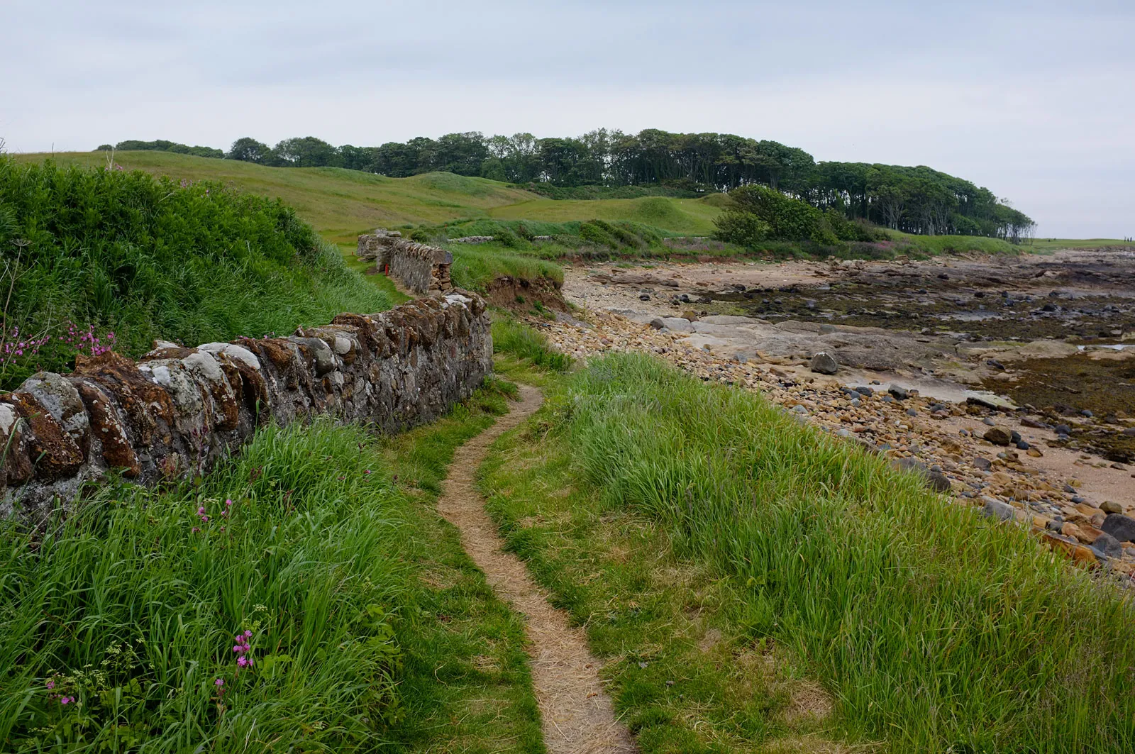
Photo: Rob Burke, CC BY-SA 2.0, via Wikimedia Commons
- Distance
- 188 km (117 miles)
- Country
- Scotland
- Difficulty
- Moderate
- Type of trip
- Hiking trail
The Fife Coastal Path follows the shore of Fife from Kincardine, on the upper Firth of Forth, round the East Neuk and St Andrews to Newburgh on the Firth of Tay. The Fife Coast and Countryside Trust, a charity, looks after it and gives the length as 117 miles (188 km). Most people take 8 to 10 days, and Scotland's Great Trails suggests allowing ten if you're doing the whole thing. It's waymarked all the way, so you don't need map and compass skills, and it's often suggested as a first long walk. That doesn't make all of it easy. Some stretches cross rocky beaches and can only be walked at low tide.
There are no permits or bookings for the path itself. You sleep in the towns and villages, and there's plenty of accommodation everywhere except between Balmerino and Newburgh, though it's worth booking early. Wild camping is legal in Scotland if you follow the Scottish Outdoor Access Code. Fife has good trains and buses, with stations at Inverkeithing, Aberdour, Burntisland, Kirkcaldy, Leven and Leuchars among others, so walking it in sections is easy. Kincardine has no station, but express coaches stop there.
Highlights along the way
- The Forth bridges: Between Limekilns and Burntisland you walk past the Queensferry Crossing, the Forth Road Bridge and the Forth Bridge, which were built in three different centuries. The Forth Bridge is a UNESCO World Heritage Site.
- Culross: Much of the village, with its cobbles and red roof tiles, is cared for by the National Trust for Scotland, and Outlander was filmed here.
- Elie Chain Walk: Between Kincraig Point and Earlsferry there's an optional stretch of about half a kilometre with chains fixed into the cliffs. It's only for low tide and the trust says it's not for the faint-hearted. The main path goes over the clifftop instead.
- Anstruther: The Scottish Fisheries Museum is here, and so is the Reaper, a herring drifter built in 1902. In summer there are daily boat trips out to the Isle of May National Nature Reserve.
- Boarhills to St Andrews: The trust says this may be the roughest part of the whole path, and you should only walk it at low tide. On the way you pass Buddo Rock, a stack of pink sandstone, and the Rock and Spindle, what's left of a volcanic plug.
Distance
117 miles (188 km) according to the trust. Scotland's Great Trails gives 187 km, with about 1,865 m of climbing. The trust splits it into eight sections of between 17.5 km (11 miles) and 27.4 km (17 miles). Some holiday companies still sell the shorter original route between the Forth and Tay bridges, which is 131 km (81 miles).
Best time to go
The path is open all year. Winter brings mud, especially between Kingsbarns and St Andrews, where cattle graze in the colder months, and the stone steps in the East Neuk get slippy, so wear proper boots. Between May and October livestock use some fields on the last section before Newburgh. Whenever you go, check the tide times, because some stretches can only be walked at low tide. In November 2026 the trust was warning that the path between Kingsbarns Beach and Boarhills is badly eroded. Check the red message bar on the trust's website before each day's walk.
More journeys in Scotland
- Scotland West Coast Train · Greg
- Cycling the Hebridean Way · Simon & Lucy
- The History of the Sea · saeunn
- Highland Adventure · Nick
- Christmas Ski Trip To Les Arcs · Peter
Flyby films from Scotland
- The Great Escape · saeunn
- Mallaig..and Train Back To Glasgow! · Greg
- THE ATLANTIC · SY
- Mallaig to Fort William · Simon & Lucy
More routes like this
- Great Glen Way · 121 km (75 miles) · Scotland
- Cape Wrath Trail · about 320 km (200 miles) · Scotland
- Rob Roy Way · 128 km (79 miles) · Scotland
- West Highland Way · 154 km (96 miles) · Scotland
- Speyside Way · 137 km (85 miles) · Scotland
- Skye Trail · about 128 km (80 miles) · Scotland