Cape Wrath Trail
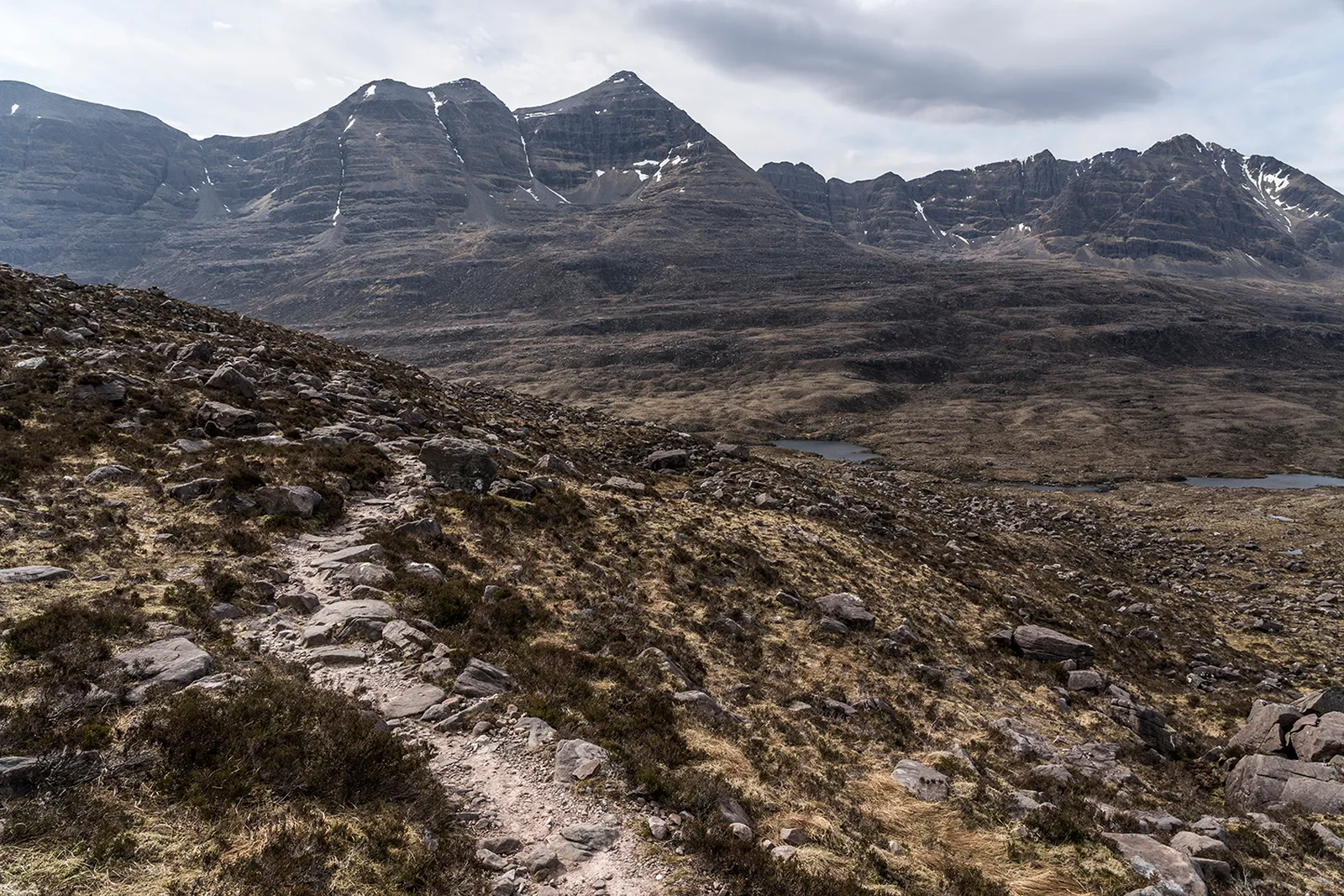
Photo: Sebastian Steude, CC BY 4.0, via Wikimedia Commons
- Distance
- about 320 km (200 miles)
- Country
- Scotland
- Difficulty
- Very challenging
- Type of trip
- Hiking trail
The Cape Wrath Trail runs north from Fort William to the lighthouse at Cape Wrath, the most north-westerly point of mainland Britain. It's about 320 km, and an experienced walker should manage it in under 20 days. It isn't an official trail and it isn't waymarked. There are no signs, a lot of it has no path at all, and several rivers have no bridge and can be dangerous or impossible to cross after heavy rain. You need to be able to find your way with map and compass. Most people carry a tent. There are a good number of bothies on the way, but you still need your own sleeping bag, mat, stove and food. B&Bs and hotels work in places if you plan well ahead.
David Paterson pioneered the walk in the early 1990s. There's no single line. One option starts with the passenger ferry across Loch Linnhe from Fort William and goes by Glenfinnan; another, suggested by Cameron McNeish, follows the Great Glen Way and joins the main route in Glen Shiel. From Morvich it shares its route with the Scottish National Trail. Heading north you come through Inverie, Shiel Bridge, Strathcarron, Kinlochewe, Ullapool, Inchnadamph and Rhiconich before Sandwood Bay and the cape. The last stretch is inside a Ministry of Defence training area.
Highlights along the way
- Inverie and Knoydart: Inverie has 11 km (7 miles) of tarred road that isn't connected to the rest of the UK road network, so you arrive on foot or by ferry from Mallaig. Its pub, the Old Forge, is the most remote on mainland Britain.
- Falls of Glomach: At the northern edge of Kintail the water drops 113 m in one go. Kintail has belonged to the National Trust for Scotland since 1944.
- Sandwood Bay: A beach 1.6 km (1 mile) long with no road to it. The nearest car park, at Blairmore, is 6 km (4 miles) away by path.
- Kearvaig: The Mountain Bothies Association looks after the bothy here, near a sea stack known as The Cathedral. It's inside the firing range and you can't use it while the range is in use.
- Cape Wrath lighthouse: Robert Stevenson built it in 1828. About 6 km east are the Clò Mòr cliffs, at 281 m the highest sea cliffs on the British mainland.
Distance
About 320 km (200 miles) by the usual line, though some sources give 330 km (205 miles), and the longer options add more. There are no official stages. Once you reach the lighthouse it's another 18 km (11 miles) along a rough road to the ferry over the Kyle of Durness.
Best time to go
You can walk it at any time of year, but the end decides a lot. The passenger ferry over the Kyle of Durness runs from May to September and the minibus from the lighthouse runs in summer. Outside that season the only way back to a road is on foot over moorland. When red flags are up at Cape Wrath you must not cross the range boundary, and Kearvaig bothy is shut. In November 2026 the Mountain Bothies Association listed live firing from 30 November to 11 December and warned of other closures at short notice. Check the Scotland firing times page on gov.uk and the ferry operator before you set off.
More journeys in Scotland
- Scotland West Coast Train · Greg
- Cycling the Hebridean Way · Simon & Lucy
- The History of the Sea · saeunn
- Highland Adventure · Nick
- Christmas Ski Trip To Les Arcs · Peter
Flyby films from Scotland
- The Great Escape · saeunn
- Mallaig..and Train Back To Glasgow! · Greg
- THE ATLANTIC · SY
- Mallaig to Fort William · Simon & Lucy
More routes like this
- Skye Trail · about 128 km (80 miles) · Scotland
- Great Glen Way · 121 km (75 miles) · Scotland
- West Highland Way · 154 km (96 miles) · Scotland
- John Muir Way · 215 km (134 miles) · Scotland
- Speyside Way · 137 km (85 miles) · Scotland
- Fife Coastal Path · 188 km (117 miles) · Scotland