Rob Roy Way
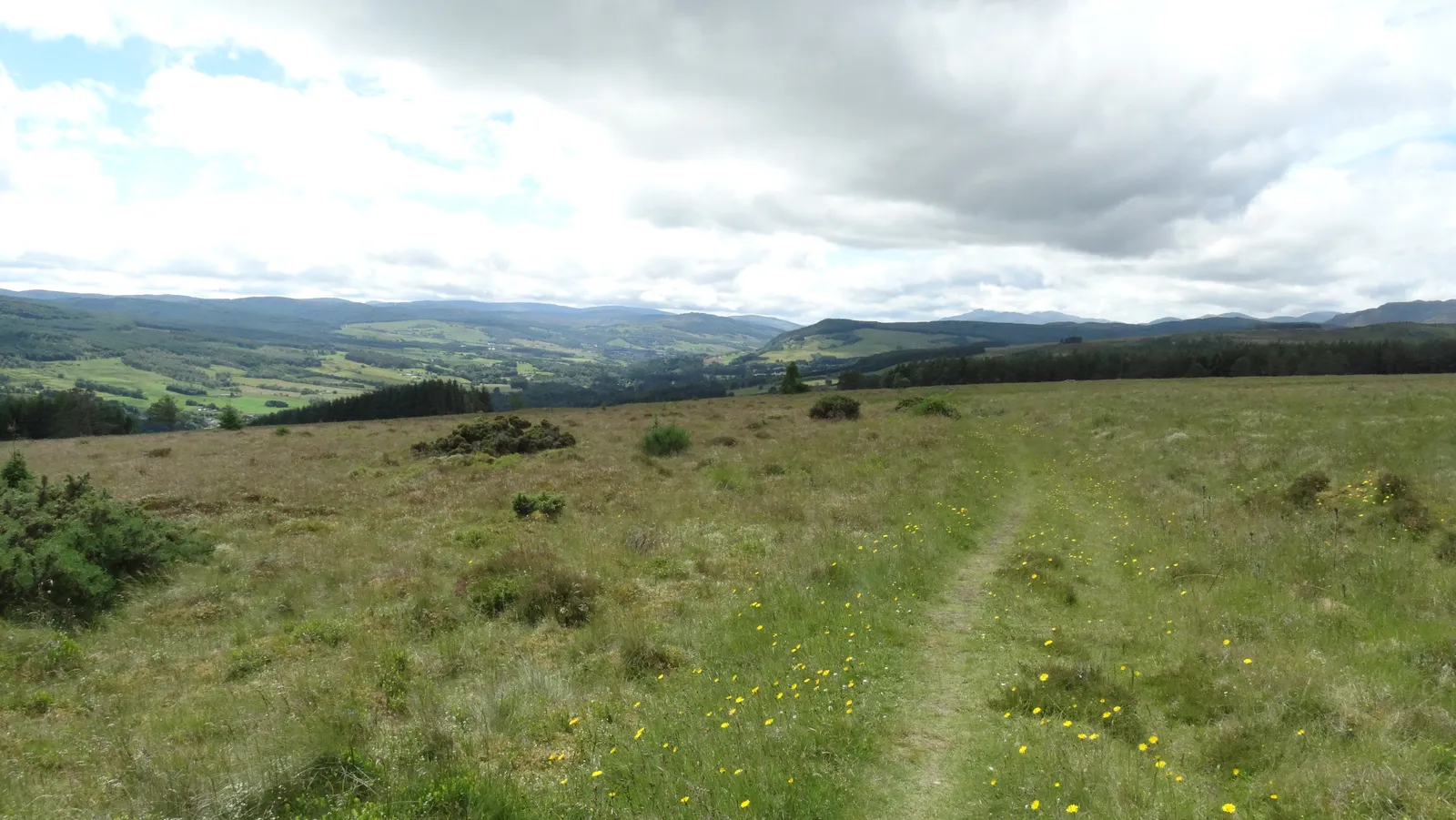
Photo: Colin Park, CC BY-SA 2.0, via Wikimedia Commons
- Distance
- 128 km (79 miles)
- Country
- Scotland
- Difficulty
- Moderate
- Type of trip
- Hiking trail
The Rob Roy Way runs from Drymen, near Loch Lomond, to Pitlochry. It goes through the Trossachs by Aberfoyle, Callander and Killin, then along Loch Tay to Aberfeldy, and passes many places linked with Rob Roy MacGregor (1671–1734), Scotland's best-known outlaw. Walkers generally take 6 to 8 days. It's waymarked, but volunteers set it up and look after it, and the route's website says you're responsible for your own navigation and should carry the guidebook or a map. Beyond Killin the path over open hillside isn't always clear. It's not all wild country either. Long stretches share National Cycle Route 7, so a lot of the walking is on tarmac, including 12 km (7.5 miles) of road between Ardeonaig and Acharn. Scotland's Great Trails suggests walking south-west to north-east, with the prevailing wind behind you and the easier sections first.
There are no permits. You stay in the villages, which have pubs and B&Bs, and there's plenty of accommodation everywhere except Strathyre and Ardtalnaig. In 2021 Ardtalnaig had beds for just six people, so book early. Wild camping is legal under the Scottish Outdoor Access Code. To reach Drymen, take the train from Glasgow Queen Street to Balloch, then the 309 bus or a taxi for the last 8 miles. Pitlochry has good trains and buses.
Highlights along the way
- Loch Ard forest: On the first day you pass the Corrie Aqueduct and lots of domed shafts left by the Victorian Loch Katrine water scheme.
- Glen Ogle: The cycleway climbs high above Lochearnhead and crosses the Glenogle Viaduct, before dropping to Killin by the Falls of Dochart.
- Lochan Breaclaich: After Killin a rough track climbs past the lochan to the highest point of the Way, 565 m on Craig Gharbh. The descent is on faint paths over open hillside, where you may need a map and compass in poor visibility.
- Birks o' Aberfeldy: A wooded gorge with waterfalls and birch trees, made famous by Robert Burns' song of 1787.
- Fonab Forest: On the last day the Way crosses moorland, which needs careful navigation in poor visibility, then passes a four-poster stone circle in Fonab Forest before dropping to Pitlochry.
Distance
The official website gives 79.3 miles (127.7 km) over seven sections, from 14.8 km (9.2 miles) between Callander and Strathyre to 23.5 km (14.6 miles) between Ardtalnaig and Aberfeldy. Scotland's Great Trails gives 2,325 m of climbing. You can skip Callander and save 4.2 km (2.6 miles). The optional extension through Glen Almond and Glen Quaich makes the Ardtalnaig to Aberfeldy day 49 km (30.4 miles).
Best time to go
The route's website says Scottish weather is unpredictable all year and wintry conditions can come at almost any time. Daylight runs from 18 or 19 hours in late June to 6 or 7 in late December, so between October and March start at first light and carry a head torch. Midges can be a nuisance in summer. Forestry work comes and goes, especially around Aberfoyle. In January 2026 felling made the Aberfoyle to Callander section nearly 8 km longer for two weeks. That diversion has been lifted, and in early November 2026 it was still the latest notice. Check the route updates page on robroyway.com before you go.
More journeys in Scotland
- Scotland West Coast Train · Greg
- Cycling the Hebridean Way · Simon & Lucy
- The History of the Sea · saeunn
- Highland Adventure · Nick
- Christmas Ski Trip To Les Arcs · Peter
Flyby films from Scotland
- The Great Escape · saeunn
- Mallaig..and Train Back To Glasgow! · Greg
- THE ATLANTIC · SY
- Mallaig to Fort William · Simon & Lucy
More routes like this
- Pennine Way · about 431 km (268 miles) · England, Scotland
- Speyside Way · 137 km (85 miles) · Scotland
- John Muir Way · 215 km (134 miles) · Scotland
- Skye Trail · about 128 km (80 miles) · Scotland
- Cape Wrath Trail · about 320 km (200 miles) · Scotland
- West Highland Way · 154 km (96 miles) · Scotland