E5 from Oberstdorf to Meran on foot
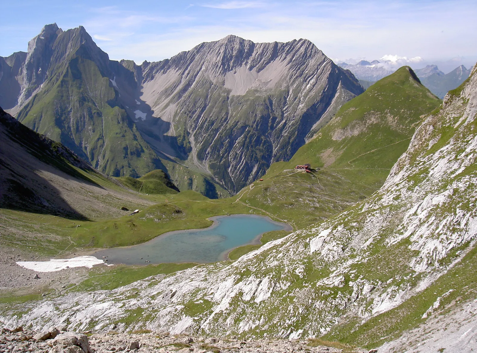
Photo: Karl Winkler, CC BY-SA 3.0, via Wikimedia Commons
- Distance
- about 120 km (75 miles)
- Countries
- Germany, Austria, Italy
- Difficulty
- Challenging
- Type of trip
- Hiking trail
The E5 is a European long-distance path of 3,200 km that starts at Pointe du Raz in north-west France. Its busiest part is the crossing of the Alps from Oberstdorf in the Allgäu to Meran (Merano) in South Tyrol. That stretch takes you from Germany through Tyrol in Austria into Italy, across the Allgäu, Lechtal and Ötztal Alps. The usual version is six day stages and about 120 km, and Bergwelten reckons you can do it in a week. Expect five to nine hours of walking a day on mountain paths, some of them steep with fixed cables.
You don't walk every metre. On the standard route you take buses through parts of the valleys and a cable car up the Venet above Zams, and the last stretch into Meran is by bus too. Nights are in mountain huts and in Vent, and the route is busy enough in summer that you should book huts well ahead. You need to be fit and sure-footed, with a head for heights. No climbing experience is needed, but some passes are over 3,000 m.
Highlights along the way
- Kemptner Hütte: The first night out of Oberstdorf. The first 8 km, as far as Spielmannsau, can be done by bus, and the day is 14.2 km with 1,039 m of climbing.
- Memminger Hütte: The second stage drops into the Lechtal and climbs into the Lechtal Alps to this hut at 2,242 m, by the Unterer Seewisee lake. The next morning you cross the Seescharte and go down to Zams.
- The Venet and the Pitztal: From Zams a cable car takes you up the Venet. You come down to Wenns and take a bus up the Pitztal to Mittelberg for the climb to the Braunschweiger Hütte.
- Pitztaler Jöchl: At 2,988 m, on the stage from the Braunschweiger Hütte to Vent. After the pass a bus takes you through a tunnel to the Tiefenbachferner.
- Similaunhütte and the Ötzi site: The hut sits at 3,019 m on the Niederjoch, just inside Italy, and is the highest point of the crossing. Ötzi was found near the Tisenjoch close by, on 19 September 1991, at about 3,210 m. He's now in the South Tyrol Museum of Archaeology in Bolzano.
Distance
About 120 km (75 miles) in six stages on Bergwelten's version, with some of that by bus or cable car. You climb about 7,900 m in all, about 6,000 m of it on foot. The stages run from 10.5 km (Larcheralm to the Braunschweiger Hütte) to 27.4 km (Kemptner Hütte to Memminger Hütte). Figures vary a lot between sources because there are several variants and different amounts of transport. Tirol's tourist board gives 176.7 km (110 miles) for its original route.
Best time to go
Don't start before July, because of the high passes. Bergwelten gives July, August and September as the best months, and into mid-October if the weather holds. Each hut has its own season and you need to check them; the Memminger Hütte, for example, is open from mid-June to the end of September (dates as of November 2026). Check opening dates on each hut's own site before you book.
More journeys in Germany, Austria, Italy
- Istanbul To Ashby · Harry
- to Tuscany by bike · Yael Zekaria
- Euro Trip 2024 · mmalty
- UK to Georgia by Bike · Simon & Lucy
- St Malo- Vienna- ...? · Lucy
- Sicily Tour · fredmarien
Flyby films from Germany, Austria, Italy
- Alta_Via_1_day_1_ · harryknoblauch12
- Day 18 · Giorgos
- Plane trip Saturday · fredmarien
- Dag 8: Schongau - Innsbruck · johan
More routes like this
- Via Alpina on foot · 2,000 km (1,240 miles) · Slovenia, Italy, Austria, Germany, Switzerland, Liechtenstein, France, Monaco
- Munich to Venice on foot (Traumpfad) on foot · about 550 km (340 miles) · Germany, Austria, Italy
- Austrian Way of St James · about 750–800 km (466–497 miles) · Austria, Germany
- Jakobsweg on foot · about 770 km (480 miles) · Germany, Spain, France, Austria
- Lechweg on foot · about 125 km (78 miles) · Austria, Germany
- Karwendel Höhenweg on foot · about 70 km (43 miles) · Austria
Hiking and cycling routes in Germany