Westweg on foot
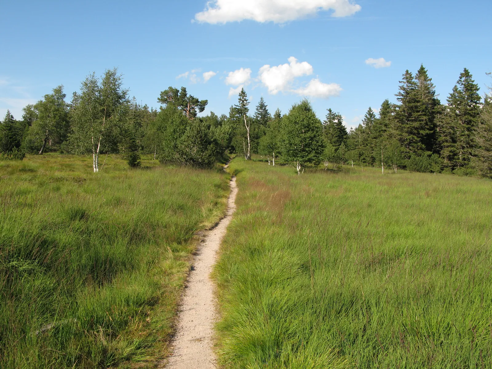
Photo: Adrian Thomale, CC BY-SA 3.0, via Wikimedia Commons
- Distance
- about 285 km (177 miles)
- Country
- Germany
- Difficulty
- Moderate
- Type of trip
- Hiking trail
The Westweg runs through the Black Forest from Pforzheim on its northern edge to Basel, just over the border in Switzerland. It's about 285 km. At Titisee it splits in two. The western route climbs the Feldberg and the Belchen before coming down through Kandern to Basel. The eastern one heads south past the Herzogenhorn and the Hohe Möhr and drops to the Rhine at Rheinfelden. Schwarzwald Tourismus splits it into 12 stages on the western route and 13 on the eastern, and most days are 4 to 8 hours of walking. You sleep in hotels and guesthouses, a few of them on working farms, and there are campsites and trekking camps near the route. Tour operators sell the whole walk with luggage transfer.
The Schwarzwaldverein laid it out in 1900, which makes it the oldest of the three long north–south paths through the Black Forest; the Mittelweg and the Ostweg followed in 1903. In 2006 several stretches were moved so that no more than 20% of the route is on tarmac, and it became a certified Qualitätsweg Wanderbares Deutschland. A red diamond on a white background marks it all the way. Expect almost 9,000 m of climbing over the whole walk. There's no single route south of Titisee, so decide which half you want before you book beds.
Highlights along the way
- Hohlohsee: On the second day, from Dobel to Forbach, a 500 m detour from the Hohlohturm takes you to this lake in a raised bog.
- Badener Höhe: Stage 3 crosses this 1,002 m summit. There's an observation tower on top, the Friedrichsturm.
- Hornisgrinde and the Mummelsee: At 1,164 m the Hornisgrinde is the highest point in the northern Black Forest. You cross it on stage 4 and reach the Mummelsee about 2 km further on.
- Titisee: The lake, at 823 m, is where the route divides. Go west for the high tops, or east over the hills between the Wehra and Wiese valleys.
- Feldberg and Belchen: The western route goes over the Feldberg, at 1,493 m the highest point of the Westweg and of the whole Black Forest. The next stage climbs the Belchen (1,414 m), which has a café at the top.
Distance
About 285 km (177 miles) from Pforzheim to Basel. Schwarzwald Tourismus gives 291 km (181 miles) for the western route and 288 km (179 miles) for the eastern one. Stages are 15.7 to 32 km. The lowest point is Hausach, at 237 m, at the end of stage 6, and the highest is the Feldberg at 1,493 m.
Best time to go
Schwarzwald Tourismus suggests going between early summer and autumn. In winter the higher sections get snow and the paths can be icy, and the Feldberg and Belchen are both over 1,400 m. Before you go, check the Westweg pages of Schwarzwald Tourismus for diversions. The Schwarzwaldverein looks after the path and the waymarks and wants to hear about any problems you find.
More journeys in Germany
- Cycle Exped to Japan via Finland · Mark
- The Great Spirits Route · johan
- UK to Georgia by Bike · Simon & Lucy
- Denmark! · Christopher
- Istanbul To Ashby · Harry
- Beer hike · Christopher
Flyby films from Germany
- Dag 8: Schongau - Innsbruck · johan
- Stuttgart-Amsterdam · JereFü
- St Malo to Vienna · Lucy
- The Start · Christopher
More routes like this
- Malerweg on foot · about 116 km (72 miles) · Germany
- Altmühltal-Panoramaweg on foot · about 200 km (124 miles) · Germany
- Hermannsweg on foot · about 163 km (101 miles) · Germany
- Lechweg on foot · about 125 km (78 miles) · Austria, Germany
- Eifelsteig trail · about 313 km (195 miles) · Germany
- Rheinsteig on foot · about 320 km (199 miles) · Germany