Hermannsweg on foot
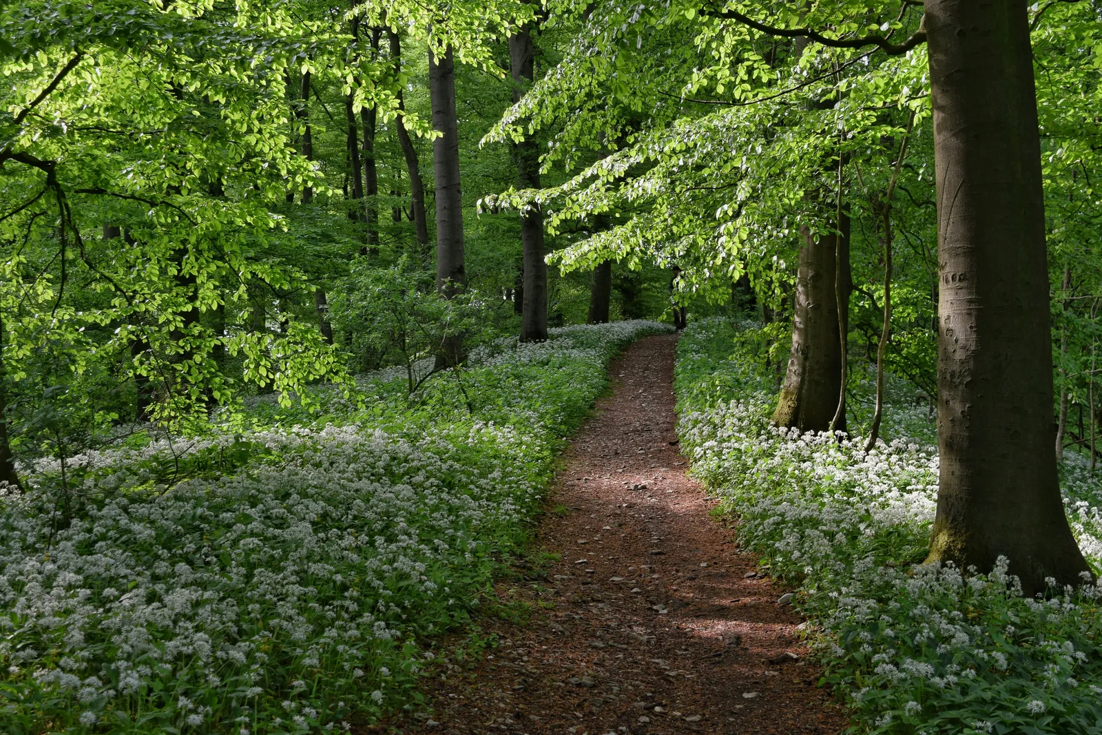
Photo: Fabian Wilske, CC BY-SA 3.0, via Wikimedia Commons
- Distance
- about 163 km (101 miles)
- Country
- Germany
- Difficulty
- Moderate
- Type of trip
- Hiking trail
The Hermannsweg runs along the Teutoburger Wald, the Teutoburg Forest, in North Rhine-Westphalia and Lower Saxony. It's about 163 km from Rheine, on the edge of the Münsterland, to Leopoldstal in Horn-Bad Meinberg, much of it on the crest of the hills, and 85% of it inside two nature parks, TERRA.vita and Teutoburger Wald/Eggegebirge. It's never high, between 100 and 441 m, but lots of valleys cut through the ridge, so you keep dropping and climbing, with views out over the Münsterland and the Westphalian Bight and towards the Weserbergland. On the way you go through Tecklenburg, Bad Iburg, Bielefeld and Oerlinghausen. The tourist board suggests nine stages of about 20 km on average, but says you don't have to stick to them.
It's named after Hermann the Cherusker, or Arminius, who beat the Roman general Varus in AD 9, and was laid out in 1902. A white H on black marks it in both directions. With the Eggeweg it makes up the Hermannshöhen, one of the Top Trails of Germany. You sleep in the towns and villages along the way; hosts that look after walkers carry a Qualitätsbetrieb Hermannshöhen label and are flagged in the stage suggestions, and the tourist board lists packages for walking from place to place. Between Tecklenburg and Bad Iburg you cross the state border, and the transport networks change there, so there's no direct bus or train between the two. Some stretches have few places to eat, so carry food.
Highlights along the way
- Dörenther Klippen: Before Tecklenburg the path runs along a line of sandstone crags about 4 km long, with free-standing rocks up to 40 m high. The best known is the Hockendes Weib, the crouching woman, which has its own local legend.
- Sparrenburg: The Counts of Ravensberg built this castle above Bielefeld before 1250. It stands on the 180 m Sparrenberg, about 60 m above the city centre. On the same stage the trail goes through the Tierpark Olderdissen, a free animal park.
- Hermannsdenkmal: Stage 8 ends at the Hermann monument on the 386 m Grotenburg near Detmold. Ernst von Bandel built it between 1838 and 1875, and it's 53.46 m tall in all, the figure holding a sword in the air.
- Externsteine: On the last stage you reach these sandstone rocks, about 40 m high, beside a pond near Horn-Bad Meinberg. They're protected as both a natural and a cultural monument.
- Lippischer Velmerstot: At 441 m, just before the end at Leopoldstal, this is the highest point of the walk, a heathy top with broken sandstone rocks and views all round.
Distance
About 163 km (101 miles) in all, by the tourist board's figure; German Wikipedia says 156 km (97 miles). The nine suggested stages from Rheine to Leopoldstal are 15 to 21 km (9 to 13 miles) each, with walking times from 3:15 to 6:15 hours. If you carry on along the Eggeweg to Marsberg, the whole Hermannshöhen is about 225 km (140 miles).
Best time to go
The tourist board doesn't name a best season. Its trail notices say that after long spells of rain some parts get very muddy and slippery, and they're slow to dry because the rock is close under a thin layer of soil, so wear waterproof boots with a good grip and avoid days of heavy rain. Forestry work can close sections without warning; the board asks you to respect closures and carry a map so you can find a way round. In Bielefeld the trail goes through the Tierpark Olderdissen, which is now fenced but open by day; if the gate's shut, follow the signed diversion. Check the current notices at hermannshoehen.teutoburgerwald.de before you go.
More journeys in Germany
- Cycle Exped to Japan via Finland · Mark
- The Great Spirits Route · johan
- UK to Georgia by Bike · Simon & Lucy
- Denmark! · Christopher
- Istanbul To Ashby · Harry
- Beer hike · Christopher
Flyby films from Germany
- Dag 8: Schongau - Innsbruck · johan
- Stuttgart-Amsterdam · JereFü
- St Malo to Vienna · Lucy
- The Start · Christopher
More routes like this
- Rennsteig on foot · 169 km (105 miles) · Germany
- Austrian Way of St James · about 750–800 km (466–497 miles) · Austria, Germany
- Altmühltal-Panoramaweg on foot · about 200 km (124 miles) · Germany
- Malerweg on foot · about 116 km (72 miles) · Germany
- Harzer Hexenstieg on foot · about 94 km (58 miles) · Germany
- Pfälzer Weinsteig on foot · about 172 km (107 miles) · Germany