Schluchtensteig on foot
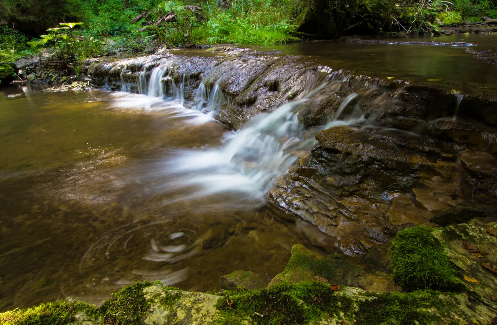
Photo: Roland Klein, CC BY-SA 4.0, via Wikimedia Commons
- Distance
- 119 km (74 miles)
- Country
- Germany
- Difficulty
- Moderate to challenging
- Type of trip
- Hiking trail
The Schluchtensteig crosses the southern Black Forest from Stühlingen, on the Swiss border, to Wehr, at the bottom of the Wehra valley. It's 119 km and links a string of gorges, the best known being the Wutachschlucht. The classic version takes six days, with nights in Blumberg, at the Schattenmühle, in Fischbach on the Schluchsee, in St. Blasien and in Todtmoos. A faster five-day version stops at Wutachmühle, Lenzkirch, St. Blasien and Todtmoos instead. Most days are 5.5 to 7.5 hours of walking. You sleep in hotels, guesthouses and holiday flats, and you can book the whole walk with luggage transfer through the trail's partners.
It opened in 2008, a joint project of the towns along the way, the Schwarzwaldverein, the nature park, the Landkreis Waldshut and Schwarzwald Tourismus. It's a certified Qualitätsweg Wanderbares Deutschland, last checked in 2025, and has been one of the Top Trails of Germany since 2012. Over half of it is on natural paths and about 16.4% is tarmac. The waymark is a stylised river, mountain and valley in a green diamond. It isn't an easy stroll. In the gorges you're on narrow, rocky paths with ladders, steps and wire-rope handrails, and the whole walk has 3,180 m of climbing and 3,290 m of descent.
Highlights along the way
- Schleifenbach falls: Stage 2 starts in Blumberg with a steep ladder, about 8 m, down into the Schleifenbach gorge, where the stream drops about 20 m in three cascades. There's a way round for dogs and anyone without a head for heights.
- Wutachschlucht: The gorge starts at the Wutachmühle sawmill, which has a kiosk. Further in, the Wutach comes back out of the rock after disappearing underground nearly 3 km upstream, and the path runs just above the water below cliffs fitted with wire ropes. The gorge has been a nature reserve since 1939.
- Schluchsee: Stage 4 starts with a view over the lake from the Bildsteinfelsen. The Schluchsee is the largest lake in the high Black Forest, and later that day you pass the Krummenkreuz, at 1,148 m the highest point of the walk.
- St. Blasien: Stage 4 ends here, by the Dom St. Blasien. Next morning you climb to the Lehenkopf tower and the Luisenruhe, which looks back over the town.
- Wehra gorges: Stage 5 goes down the Hohwehraschlucht to Todtmoos. The last day, at 22 km and 7.5 hours the longest, follows the Wehra valley past the Wehra reservoir to Wehr.
Distance
119 km (74 miles) from Stühlingen to Wehr. The official stages are 18 to 22 km each; the stage figures on German Wikipedia add up to about 120 km (75 miles). The highest point is the Krummenkreuz at 1,148 m and the lowest is Wehr, at about 350 m.
Best time to go
Go between May and October. The trail's official site says the Schluchtensteig is closed for the season from November until early May and strongly advises against walking it then; fallen trees, rockfall and landslides from the winter are cleared in spring. Check its page of current trail news before you go. In 2026, for example, the side path to the Lotenbachklamm, between stages 2 and 3, was closed for the whole season.
More journeys in Germany
- Cycle Exped to Japan via Finland · Mark
- The Great Spirits Route · johan
- UK to Georgia by Bike · Simon & Lucy
- Denmark! · Christopher
- Istanbul To Ashby · Harry
- Beer hike · Christopher
Flyby films from Germany
- Dag 8: Schongau - Innsbruck · johan
- Stuttgart-Amsterdam · JereFü
- St Malo to Vienna · Lucy
- The Start · Christopher
More routes like this
- Altmühltal-Panoramaweg on foot · about 200 km (124 miles) · Germany
- Albsteig (HW1) on foot · about 360 km (224 miles) · Germany
- Moselcamino on foot · about 160 km (99 miles) · Germany
- E5 from Oberstdorf to Meran on foot · about 120 km (75 miles) · Germany, Austria, Italy
- Lechweg on foot · about 125 km (78 miles) · Austria, Germany
- Eifelsteig trail · about 313 km (195 miles) · Germany