Ridgeway on foot
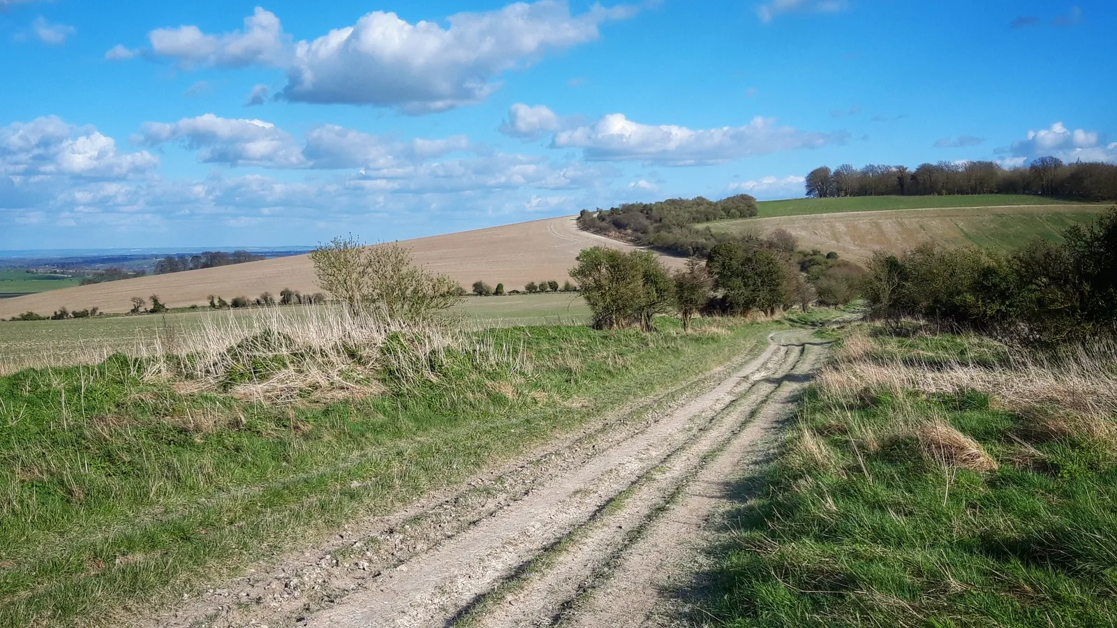
Photo: JimChampion, CC BY 4.0, via Wikimedia Commons
- Distance
- 139 km (87 miles)
- Country
- England
- Difficulty
- Easy to moderate
- Type of trip
- Hiking trail
The Ridgeway runs 87 miles (139 km) from Overton Hill, near Avebury in Wiltshire, to Ivinghoe Beacon in Buckinghamshire, north-west of London. People have used this line over the chalk hills for at least 5,000 years, and it's often called Britain's oldest road. West of the Thames it's a broad track across the open North Wessex Downs, often a long way from any village. East of the river it goes through the woods and small valleys of the Chilterns, close to villages and small towns. At about 15 miles (24 km) a day it takes six days, and National Trails suggests it as a good first long-distance walk.
There are plenty of campsites, and beds in the villages and towns near the trail, though in the west they can be a fair way off it. Wild camping isn't legal without the landowner's permission, so ask first. Water is scarce on some stretches, so carry plenty. The western half, Overton Hill to Streatley, has no footpath sections, so you can cycle or ride a horse all of it. East of the Thames about 21 miles (34 km) is footpath, which makes it impractical on a bike or a horse. Some stretches are byways, where motorbikes and 4x4s can legally drive unless an order restricts them, and on many of those motor vehicles are only allowed in summer.
Highlights along the way
- Avebury: The trail starts just outside this World Heritage Site, which has the largest stone circle in the British Isles and the West Kennet stone avenue.
- Uffington White Horse and Wayland's Smithy: The horse, from the later Bronze Age or the Iron Age, is cut into the chalk at the head of a dry valley, about 110 m (360 ft) long, near Uffington Castle hill fort. Wayland's Smithy, a Neolithic chambered long barrow, is about a mile along the trail.
- Goring Gap and Grim's Ditch: The trail crosses the Thames here, and from Goring to Mongewell it shares the river with the Thames Path, one trail on each bank. Further on, it follows Grim's Ditch, an Iron Age earthwork, between Mongewell and Nuffield.
- Chequers and Coombe Hill: The trail goes through the estate of Chequers, the Prime Minister's country house. Coombe Hill, at 852 ft (260 m), is one of the highest points in the Chilterns and has a monument on top.
- Ivinghoe Beacon: The end of the trail, a hilltop with long views and the remains of a hill fort.
Distance
The trail is 87 miles (139 km), with about 1,183 m (3,881 ft) of climbing in all. The 43 miles (69 km) west of the Thames, from Avebury to Goring-on-Thames, is the half riders use, and mountain bikers usually take 2 days over it. The other 44 miles (71 km) are in the Chilterns.
Best time to go
It's open all year, but National Trails says the ground is best from May to November. Much of the surface is natural chalk, earth and grass, so it gets muddy after rain, with vehicle ruts in places. Early May is bluebell time in the Chiltern woods. In November the beech woods there turn red and gold. In November 2026 National Trails still listed an HS2 diversion near Wendover, between the station and Bacombe Hill. Check nationaltrail.co.uk before you go.
More journeys in England
- Exmouth towards Poole SWCP · Greg
- Folk on a Boat · Simon & Lucy
- Bristol Rides · David
- Scotland West Coast Train · Greg
- Week In UK · Greg
- Pangbourne · Ben
Flyby films from England
- The Great Escape · saeunn
- Ferry to UK · Greg
- Exeter towards Poole · Greg
- Shanghai Stopover · David
More routes like this
- Pennine Way · about 431 km (268 miles) · England, Scotland
- North Downs Way · 246 km (153 miles) · England
- Cotswold Way · about 164 km (102 miles) · England
- Jurassic Coast walk · about 182 km (113 miles) · England
- Dales Way · 128 km (80 miles) · England
- Coast to Coast Walk · 306 km (190 miles) · England