Dales Way
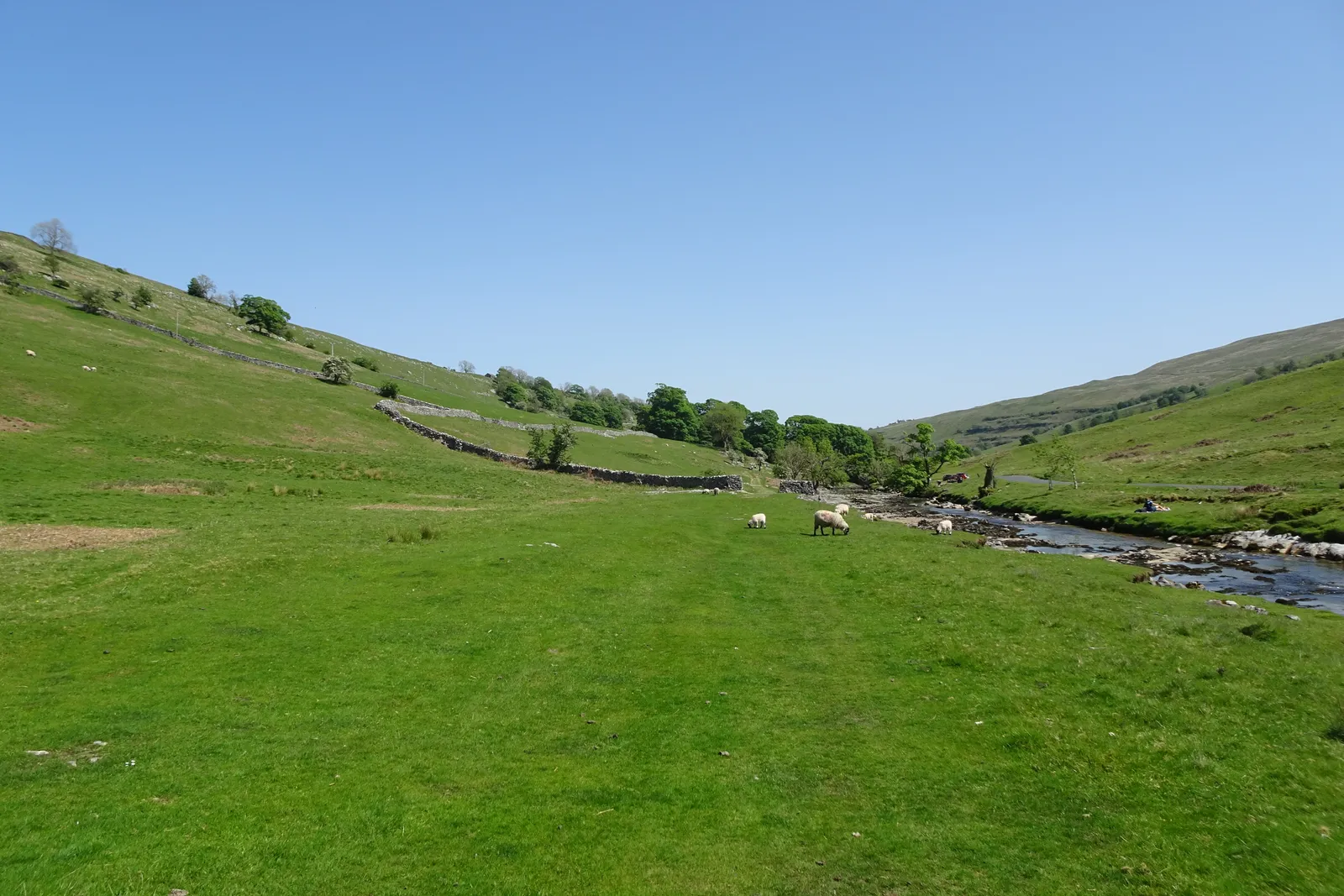
Photo: DS Pugh, CC BY-SA 2.0, via Wikimedia Commons
- Distance
- 128 km (80 miles)
- Country
- England
- Difficulty
- Easy to moderate
- Type of trip
- Hiking trail
The Dales Way runs 80 miles (128 km) from Ilkley in West Yorkshire to Bowness-on-Windermere in Cumbria. For the first half you follow the River Wharfe upstream through the Yorkshire Dales National Park, almost to its source on Cam Fell. Then you come down Dentdale to Sedbergh, along the Lune and the Kent, and over low hills to Windermere. It's mostly riverside path, and the Dales Way Association calls it one of the easier long-distance walks in the UK. Most people take five to seven days.
There are B&Bs, inns, hostels and campsites along the way, and several companies will carry your bags. The path is waymarked, but the association still says to carry a map, guidebook or GPX file. The remote day is Buckden to Gearstones, over the watershed, with little accommodation and no other facilities. Trains run to Ilkley from Leeds and Bradford, and Windermere station is about a mile and a half from Bowness.
Highlights along the way
- Bolton Abbey and the Strid: On the first day you walk through the Bolton Abbey estate, past the priory church, where there's been worship since 1154. A little upstream, at the Strid, the Wharfe squeezes into a channel about 2 m wide with undercut banks. People have died there, so don't try to jump it.
- Grassington and upper Wharfedale: At Loup Scar, just north of Burnsall, the path crosses the Mid-Craven Fault into limestone country. Past Grassington it leaves the river for high limestone pastures and terraces, then drops back down to Kettlewell.
- Langstrothdale and Cam Fell: From Buckden you follow the Wharfe up past Hubberholme and Yockenthwaite to Beckermonds, where two becks meet to form the river. Then it's up onto the peat moors of Cam Fell, across the Pennine Way and over the watershed between the North Sea and the Irish Sea.
- Arten Gill and Dent: Since 2026 the official route leaves the Dent road, crosses the shoulder of Wold Fell on the Pennine Bridleway and drops beside Arten Gill, under the 11-arch viaduct of the Settle to Carlisle railway. Further down the dale is Dent, which the association says has changed little in two centuries.
- The Lakeland foothills: After Burneside you follow the River Kent to Staveley, then cross a string of low hills with views of the Lake District fells. The way ends at the Dales Way Bench, a viewpoint just above Bowness, and from there it's downhill to the lake.
Distance
The Dales Way is 80 miles (128 km) in all. The Dales Way Association splits it into six sections, with breaks at Burnsall, Buckden, Gearstones, Sedbergh and Burneside, and most walkers do 10 to 15 miles (16 to 24 km) a day. Plan the Buckden to Gearstones day with care, as it's 13.5 miles (21.7 km) from Buckden to the next public transport at Ribblehead. Settle to Carlisle trains stop at Ribblehead and Dent station.
Best time to go
The Dales Way Association suggests April to October, when the days are longer and the weather milder. You can walk it in winter, but expect wet, muddy paths, and the riverside stretches can flood. Small changes to the route are listed on the route updates page at dalesway.org. The Arten Gill route in Dentdale became official in 2026, and in June 2026 the association warned that the waymarks would take a while to follow.
More journeys in England
- Exmouth towards Poole SWCP · Greg
- Folk on a Boat · Simon & Lucy
- Bristol Rides · David
- Scotland West Coast Train · Greg
- Week In UK · Greg
- Pangbourne · Ben
Flyby films from England
- The Great Escape · saeunn
- Ferry to UK · Greg
- Exeter towards Poole · Greg
- Shanghai Stopover · David
More routes like this
- North Downs Way · 246 km (153 miles) · England
- Pennine Way · about 431 km (268 miles) · England, Scotland
- Thames Path · 298 km (185 miles) · England
- Hadrian’s Wall Path · about 135 km (84 miles) · England
- South West Coast Path · about 1,014 km (630 miles) · England
- Cotswold Way · about 164 km (102 miles) · England