Coast to Coast Walk
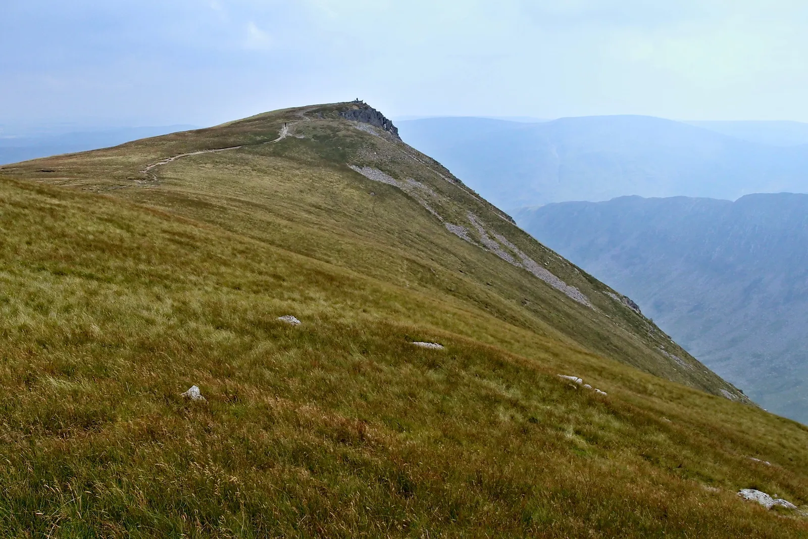
Photo: Kreuzschnabel, CC BY-SA 3.0, via Wikimedia Commons
- Distance
- 306 km (190 miles)
- Country
- England
- Difficulty
- Challenging
- Type of trip
- Hiking trail
The Coast to Coast is the walk Alfred Wainwright described in his 1973 book, A Coast to Coast Walk. It crosses northern England from St Bees on the Irish Sea to Robin Hood’s Bay on the North Sea, through the Lake District, the Yorkshire Dales and the North York Moors. It’s 190 miles (306 km), and most people take 12 to 15 days. On 26 March 2026 it opened as a National Trail after a £5.5 million upgrade to signs and paths. This guide is for the walk. The C2C cycle route is a different route and has its own guide.
Most people walk west to east, which keeps the wind and rain at your back, but it’s signed both ways. You sleep in B&Bs, pubs, hostels and campsites. There’s no permit, but there’s normally no right to wild camp in England, so ask the landowner. Rooms book up quickly in peak season, and National Trails suggests a Monday or Tuesday start if you’re doing it all in one go. Trains run to St Bees from Carlisle and Lancaster, and from Robin Hood’s Bay there’s a bus to Whitby station.
Highlights along the way
- St Bees: The custom is to wet your boots in the Irish Sea, pick up a pebble from the beach, carry it across the country and leave it at Robin Hood’s Bay. The first 4 miles or so follow the cliffs of St Bees Head before the path turns inland.
- Ennerdale Water: You follow the lake to Black Sail youth hostel, then climb and come down the old Fleetwith tramway to Honister. The National Trail work added a new lakeside path with bridges and a better surface.
- Kidsty Pike: At 780 m (2,560 ft) it’s the highest point of the walk, on the stage from Patterdale to Shap that National Trails calls one of the most challenging days.
- Nine Standards Rigg: A steady climb out of Kirkby Stephen takes you up onto open fell. Much of it has been flagstoned against erosion, including 5 km of new flags near Nine Standards Rigg and White Mossy Hill.
- Swaledale: From Keld to Reeth you can take the high route over Gunnerside Moor past old lead-mining remains, or stay low by the River Swale through Ivelet and Gunnerside. The next day to Richmond, the biggest town on the route, is one of the easier ones.
Distance
190 miles (306 km) is the official length, though measured along today’s line it comes out nearer 182 miles (293 km). Wainwright split it into 12 stages, and one stage a day plus a rest day or two is the usual two-week plan. If you split the longer stages and walk 10 to 12 miles a day, it takes about three weeks.
Best time to go
You can walk it at any time of year, but National Trails says it’s best from spring to autumn. The weather on the fells changes quickly, and the high ground beyond Greenup Edge is often boggy. In November 2026 the start was diverted because of cliff falls on St Bees Head (National Trails). Check the map on nationaltrail.co.uk for current diversions before you go.
More journeys in England
- Exmouth towards Poole SWCP · Greg
- Folk on a Boat · Simon & Lucy
- Bristol Rides · David
- Scotland West Coast Train · Greg
- Week In UK · Greg
- Pangbourne · Ben
Flyby films from England
- The Great Escape · saeunn
- Ferry to UK · Greg
- Exeter towards Poole · Greg
- Shanghai Stopover · David
More routes like this
- Cotswold Way · about 164 km (102 miles) · England
- Thames Path · 298 km (185 miles) · England
- North Downs Way · 246 km (153 miles) · England
- Pennine Way · about 431 km (268 miles) · England, Scotland
- Ridgeway on foot · 139 km (87 miles) · England
- Cleveland Way · 175 km (109 miles) · England