Jurassic Coast walk
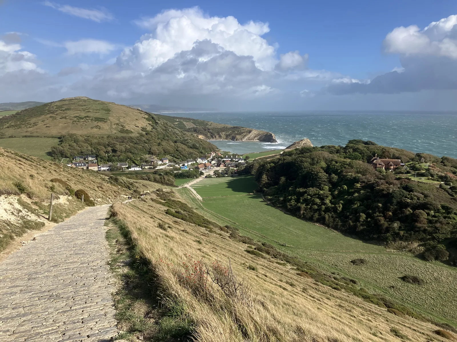
Photo: Anthony Foster, CC BY-SA 2.0, via Wikimedia Commons
- Distance
- about 182 km (113 miles)
- Country
- England
- Difficulty
- Moderate to challenging
- Type of trip
- Hiking trail
The Jurassic Coast is the stretch of East Devon and Dorset coast from Orcombe Point at Exmouth to Old Harry Rocks near Studland. In 2001 it became England's first natural World Heritage Site, for cliffs that show 185 million years of the Earth's history. There's no separate trail for it. You walk the South West Coast Path National Trail, which follows the whole stretch and ends just past Studland at Shell Bay, by the ferry to Sandbanks. National Trails suggests nine days, including one round the Isle of Portland. It's a mix of easy high walking and steep climbs and steps, and some days have several hundred metres of ascent and descent.
You sleep in the towns and villages on the way, in pubs, inns, hotels, B&Bs, hostels, self-catering places and campsites. The cliffs are always eroding and rockfalls and landslides can happen at any time, so keep away from the top and bottom of them and check tide times before walking along a beach.
Highlights along the way
- East Devon's red cliffs: You pass Budleigh Salterton, where the pebbles on the beach are protected, and the red sandstone stacks of Ladram Bay on the way to Sidmouth. After Branscombe the red rock gives way to white chalk around Beer.
- The Undercliff and Lyme Regis: East of Seaton the path goes into the Undercliffs National Nature Reserve, damp woodland on ground made entirely by landslides. It comes out at Lyme Regis, with its old harbour wall, the Cobb, and street lights shaped like ammonites.
- Golden Cap: After Charmouth you climb Golden Cap, at 191 m the highest point on the south coast of Britain, then drop to Seatown.
- Chesil Beach and Portland: Chesil Beach runs 18 miles (29 km) from Burton Bradstock to the Isle of Portland, with the Fleet lagoon behind it. The path follows the Fleet shore from Abbotsbury, which has a swannery with hundreds of mute swans, then loops round Portland, known for its building stone.
- Durdle Door to Old Harry: Beyond Weymouth come the chalk cliffs, the arch at Durdle Door and the round bay of Lulworth Cove. The path then crosses the Lulworth Ranges, passes Kimmeridge and goes over Houns-tout at 150 m, before the last day along the cliffs to Durlston Head, Swanage and the chalk stacks of Old Harry.
Distance
About 182 km (113 miles) in all, if you add up the nine days in the National Trails itinerary, and the day round Portland is 20.9 km (13 miles) of that. Days run from 16.6 km (10.3 miles), Sidmouth to Seaton, up to 23.3 km (14.5 miles), Ferrybridge to Lulworth Cove. If the Lulworth Ranges are shut, the way round is a 13-mile (21 km) detour, partly on roads, or you can take a bus from West Lulworth to Corfe Castle and walk the ridge back to the coast at Kimmeridge.
Best time to go
National Trails says spring and summer are the time for the wildflowers on the clifftops at Branscombe, and that Chesil Beach is at its best then too. The path across the Lulworth Ranges is only open when the army isn't firing, which is most weekends and holidays. Red flags and locked gates mean it's closed, and the firing times are posted month by month on GOV.UK. In November 2026 National Trails listed an official diversion of about 1.5 miles (2.4 km) east of Charmouth, where a landslip has taken part of the path. Check route changes at southwestcoastpath.org.uk before you go.
More journeys in England
- Exmouth towards Poole SWCP · Greg
- Folk on a Boat · Simon & Lucy
- Bristol Rides · David
- Scotland West Coast Train · Greg
- Week In UK · Greg
- Pangbourne · Ben
Flyby films from England
- The Great Escape · saeunn
- Ferry to UK · Greg
- Exeter towards Poole · Greg
- Shanghai Stopover · David
More routes like this
- Thames Path · 298 km (185 miles) · England
- Cleveland Way · 175 km (109 miles) · England
- Cotswold Way · about 164 km (102 miles) · England
- Ridgeway on foot · 139 km (87 miles) · England
- Pennine Way · about 431 km (268 miles) · England, Scotland
- North Downs Way · 246 km (153 miles) · England