North Downs Way
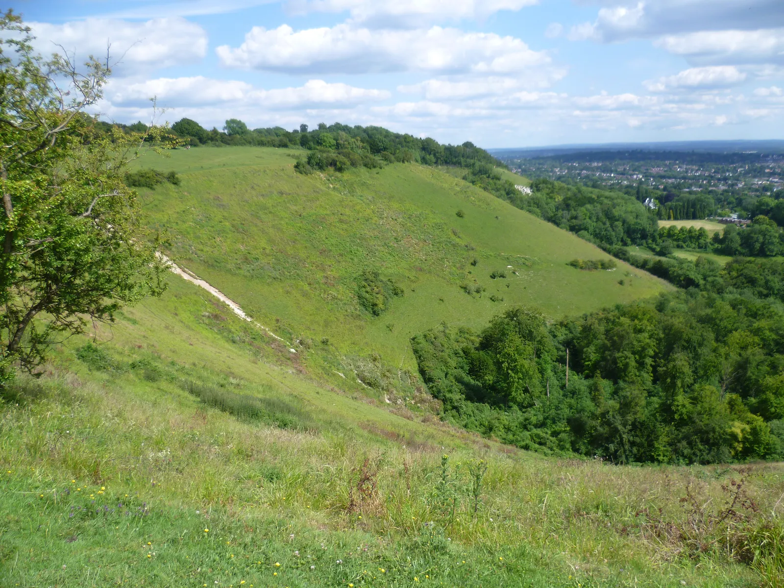
Photo: Marathon, CC BY-SA 2.0, via Wikimedia Commons
- Distance
- 246 km (153 miles)
- Country
- England
- Difficulty
- Moderate
- Type of trip
- Hiking trail
The North Downs Way runs 153 miles (246 km) from Farnham in Surrey to Dover in Kent, mostly along the chalk ridge of the North Downs, through the Surrey Hills and the Kent Downs. For long stretches it follows or runs close to the Pilgrims' Way, the old route to Thomas Becket's shrine at Canterbury. Near Wye it splits. One branch goes by Folkestone and the White Cliffs, the other loops through Canterbury, and both finish on Dover sea front. National Trails suggests twelve days on foot, at about 13 miles a day. The whole trail opened in 1978. There are direct trains from London Waterloo to Farnham and from Dover back to London.
You sleep in country inns, B&Bs and hotels in the towns and villages, and there are campsites along the way. National Trails advises booking ahead, especially in summer. There's normally no right to wild camp, though some farmers and pub owners will let you camp if you ask first. It's signed in both directions. The pilgrims walked west to east, but if you arrive by ferry at Dover you can start there. Cyclists and horse riders have their own line, the Riders' Route, so you'll meet bikes on parts of it.
Highlights along the way
- Box Hill and Colley Hill: You cross the River Mole on stepping stones and climb the steep scarp of Box Hill. Colley Hill and Reigate Hill follow, with viewing platforms on the ridge.
- Kit's Coty and the Medway: After crossing the Medway, with Rochester Castle and Cathedral in view, you reach Kit's Coty, a Neolithic burial chamber. Local legend says you never count the same number of stones twice.
- Charing: A village of old buildings, with the remains of the Archbishop's Palace where archbishops stopped overnight on the way between London and Canterbury.
- Canterbury: The loop goes through King's Wood and Chilham, past orchards and St Dunstan's Church, where Henry II did penance for Becket's murder before walking barefoot to the cathedral. Canterbury Cathedral is part of a World Heritage Site.
- Wye Downs to Dover: Above Wye the path passes the Devil's Kneading Trough, a deep dry valley, then comes out on the coast above the Channel Tunnel terminal at Folkestone. The last miles cross Shakespeare Cliff and the Western Heights, looking over the harbour to Dover Castle, the largest castle in England.
Distance
The official length is 153 miles (246 km). Much of it is fairly level along the ridge, but it goes up and down the scarp several times, and the hardest stretch is Guildford to Reigate, over St Martha's, Albury Down, White Down, Box Hill and Colley Hill. The 15 sections in the route description run from 7 miles (11 km) to 15.2 miles (24.4 km). About 19% of the way is on roads, though most of that is quiet lanes.
Best time to go
It's open all year, and National Trails encourages walking it in every season. Some sections get muddy in wet weather. The old woods of the Surrey Hills and Kent Downs are full of bluebells in early spring. Before you go, check the interactive map at nationaltrail.co.uk for any diversions.
More journeys in England
- Exmouth towards Poole SWCP · Greg
- Folk on a Boat · Simon & Lucy
- Bristol Rides · David
- Scotland West Coast Train · Greg
- Week In UK · Greg
- Pangbourne · Ben
Flyby films from England
- The Great Escape · saeunn
- Ferry to UK · Greg
- Exeter towards Poole · Greg
- Shanghai Stopover · David
More routes like this
- Hadrian’s Wall Path · about 135 km (84 miles) · England
- South West Coast Path · about 1,014 km (630 miles) · England
- Pennine Way · about 431 km (268 miles) · England, Scotland
- Thames Path · 298 km (185 miles) · England
- Jurassic Coast walk · about 182 km (113 miles) · England
- South Downs Way · 160 km (100 miles) · England