Thames Path
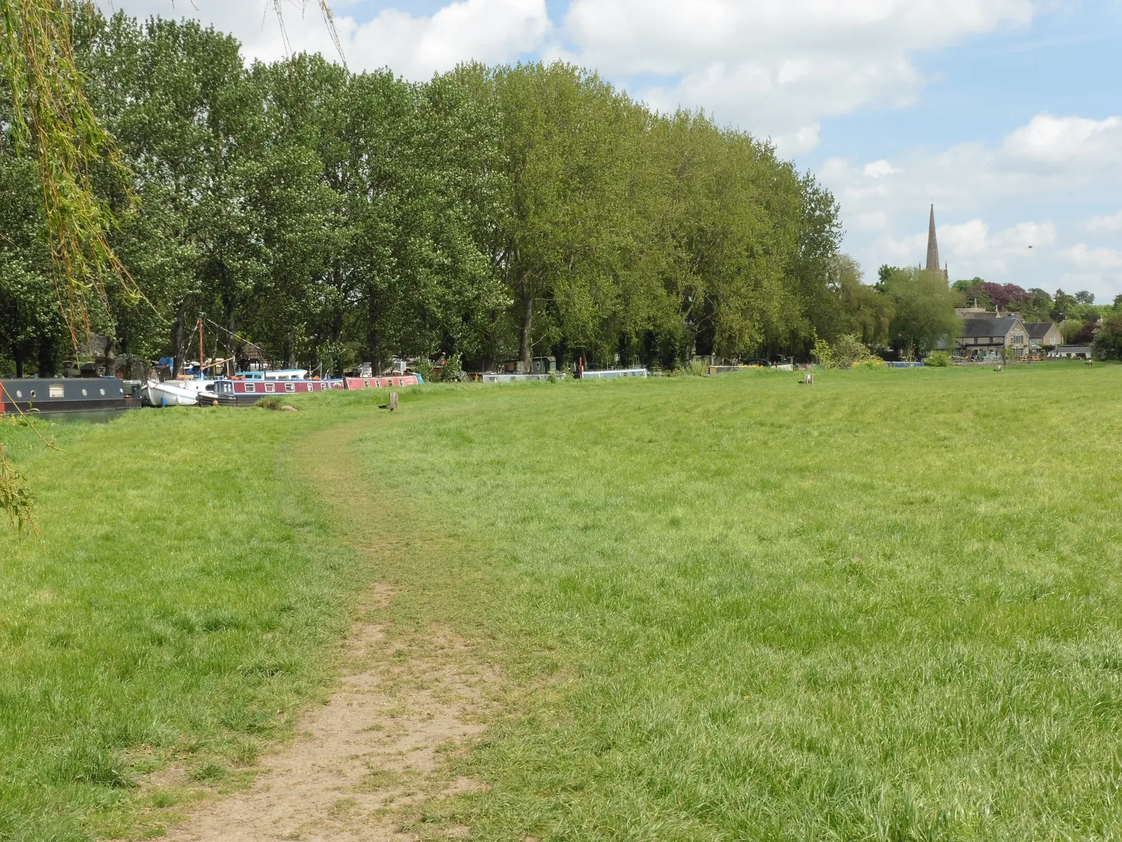
Photo: Dave Kelly, CC BY-SA 2.0, via Wikimedia Commons
- Distance
- 298 km (185 miles)
- Country
- England
- Difficulty
- Easy
- Type of trip
- Hiking trail
The Thames Path follows the river for 185 miles (298 km), from its source in a Cotswold meadow in Gloucestershire to the Woolwich Foot Tunnel in east London. As far as Oxford it's quiet farmland and water meadows, with few villages near the path. Below Oxford the river widens and the towns come closer together, through Reading, Henley, Marlow and Windsor, then the long walk through London. It opened as a National Trail in 1996. Since 2022 it meets the England Coast Path at Woolwich, so you can carry on to Grain in Kent, 232 miles (374 km) from the source. At about 15 miles (24 km) a day it takes 14 days, with a couple of rest days.
It's a gentle walk, mostly flat, and most of the stiles have been replaced with gates. You stay in the towns and villages by the river. National Trails says many places fill up quickly, so book ahead. There are plenty of campsites, but normally no right to wild camp. Below Oxford trains and buses are easy, while above it reaching the path takes some planning. It's a public footpath, not a cycle route, and you can only ride a few short stretches. The prevailing wind is from the south-west, so starting at the source usually puts it behind you, and the official guide starts there too.
Highlights along the way
- The source and North Meadow: The source is a spring under an old ash tree, and it's dry for much of the year, so the riverbed can be empty for some distance. Just before Cricklade, North Meadow nature reserve fills with snakeshead fritillaries in late April.
- Lechlade to Newbridge: The longest and most remote section, with big skies, few villages and six quiet locks. You pass Radcot, the oldest bridge on the Thames.
- Into Oxford: Past the Trout Inn and the ruins of Godstow Abbey, the path runs for nearly two miles beside Port Meadow and comes out in the city near the station.
- Runnymede: Below Windsor the path crosses the river to keep away from the castle grounds, then reaches Runnymede, where King John agreed to Magna Carta in June 1215.
- London: From Teddington, where the river becomes tidal, you can follow either bank as far as the Isle of Dogs. Between Putney and Tower Bridge there are 16 bridges, so swapping sides is easy. The south bank goes on past Greenwich to the steel hoods of the Thames Barrier.
Distance
The trail is 185 miles (298 km). The sections in the official route description run from 8.7 miles (13.9 km), Henley to Marlow, to 16.4 miles (26.2 km), Lechlade to Newbridge. Above Teddington the river has 45 locks. At Shepperton you cross by ferry when it's running, and otherwise take a mostly road route over Walton Bridge.
Best time to go
National Trails recommends spring to the end of autumn. In winter the river floods, especially upstream of Oxford, and you shouldn't walk through floodwater, as you can't see where the bank is. In November 2026 National Trails said a new off-road section between Upper Inglesham and Inglesham was open, which older guidebooks and OS maps don't show, so follow the signs there. Other diversions are on the map at nationaltrail.co.uk.
More journeys in England
- Exmouth towards Poole SWCP · Greg
- Folk on a Boat · Simon & Lucy
- Bristol Rides · David
- Scotland West Coast Train · Greg
- Week In UK · Greg
- Pangbourne · Ben
Flyby films from England
- The Great Escape · saeunn
- Ferry to UK · Greg
- Exeter towards Poole · Greg
- Shanghai Stopover · David
More routes like this
- South Downs Way · 160 km (100 miles) · England
- Jurassic Coast walk · about 182 km (113 miles) · England
- Coast to Coast Walk · 306 km (190 miles) · England
- South West Coast Path · about 1,014 km (630 miles) · England
- Ridgeway on foot · 139 km (87 miles) · England
- Cleveland Way · 175 km (109 miles) · England