South Downs Way
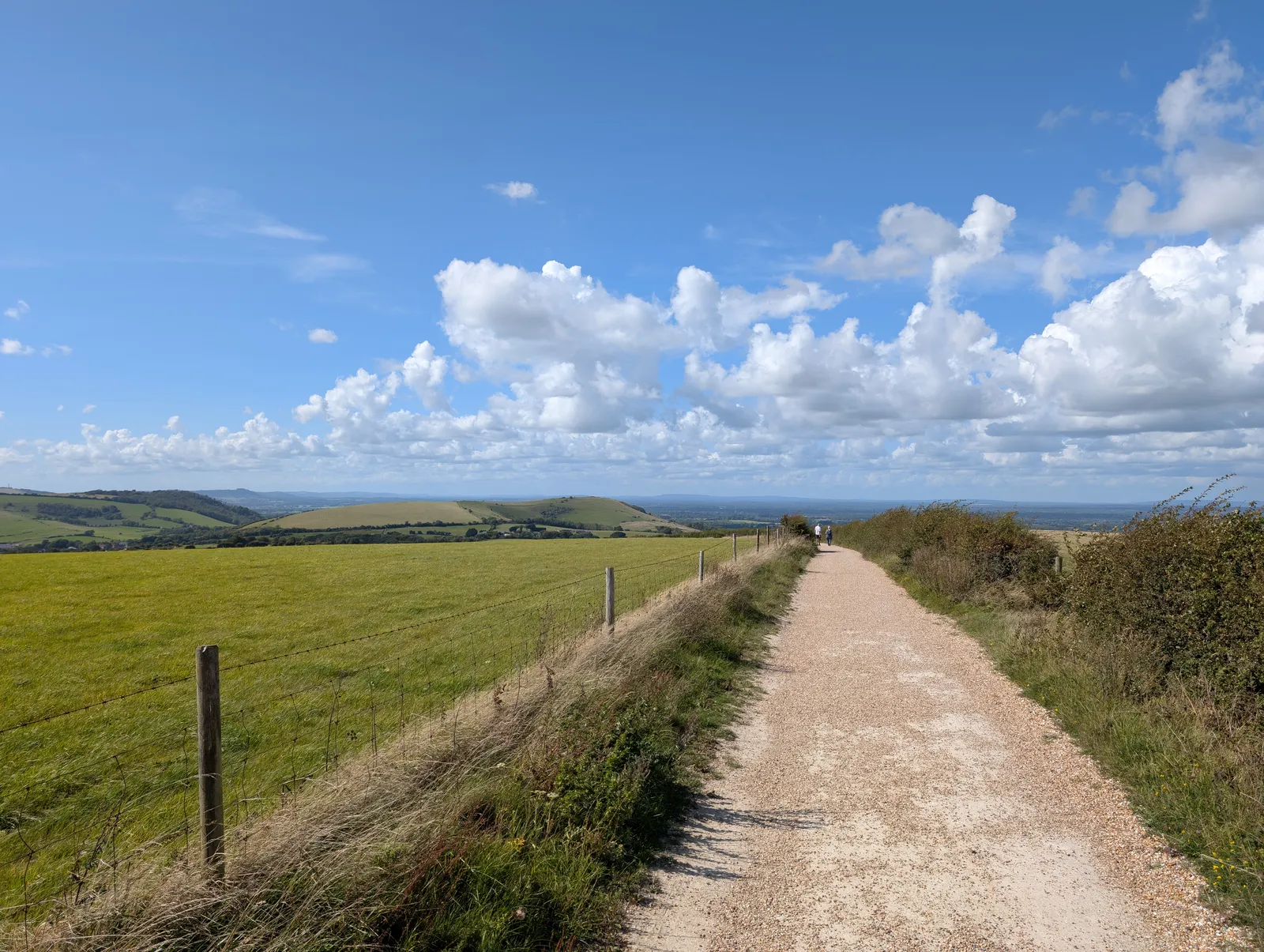
Photo: Andy Li, CC0, via Wikimedia Commons
- Distance
- 160 km (100 miles)
- Country
- England
- Difficulty
- Moderate
- Type of trip
- Hiking trail
The South Downs Way runs 100 miles (160 km) from Winchester in Hampshire to Eastbourne in East Sussex, along the chalk ridge of the South Downs and inside the South Downs National Park. It follows old tracks and droveways, and east of Buriton it stays on the ridge almost all the way, with the Weald to the north and the sea to the south. Most people walk it in 8 or 9 days. It opened as a National Trail in 1972 and was the UK's first long-distance bridleway, so you can cycle or ride a horse the whole length. Where the walkers' route is footpath only, riders get a signed alternative.
You sleep in the villages, in pubs, B&Bs and a few youth hostels, and there are plenty of campsites. The villages mostly sit at the foot of the hill, so you walk down in the evening and back up in the morning. National Trails says to book ahead, because rooms are limited in places. There's normally no right to wild camp, so ask the landowner. Most pubs, cafes and shops are off the trail, so carry food and water. You can walk it either way. The guidebook goes east to west, but the trail officer suggests starting in Winchester, with the wind behind you and the Seven Sisters at the end.
Highlights along the way
- Butser Hill: At 270 m it's the highest point of the trail, a National Nature Reserve inside Queen Elizabeth Country Park. There's a cafe near the top.
- Bignor Hill: You can see a stretch of surviving Roman road here, and a short detour down the hill takes you to Bignor Roman Villa and its mosaics. The path then drops to the River Arun at Amberley, about halfway.
- Chanctonbury Ring: A steep climb out of Washington brings you to this ring of beech trees, planted on an Iron Age hill fort that also holds the remains of a Roman temple.
- Devil's Dyke and Ditchling Beacon: The Dyke is nearly a mile long, and National Trails calls it the longest, deepest and widest dry valley in the UK. Ditchling Beacon, at 248 m, is the highest point in East Sussex.
- Seven Sisters and Beachy Head: From Alfriston the walkers' route follows the Cuckmere to the sea and goes up and down over the Seven Sisters to Beachy Head, Britain's highest chalk cliff. The cliff edges are unfenced and undercut in places, so keep back.
Distance
The trail is 100 miles (160 km), with about 3,800 m (12,600 ft) of climbing. Most walkers do 12 to 15 miles (20 to 25 km) a day. At Alfriston it splits in two. The footpath over the Seven Sisters is 10.5 miles (16.9 km) to Eastbourne, and the bridleway via Jevington, past the Long Man of Wilmington, is 8.5 miles (13.7 km). On a bike it takes 2 or 3 days if you're used to riding off road.
Best time to go
It's open all year, and the chalk drains and dries out quickly, so it's walkable in any season. It gets busier in the school holidays, and on weekends from May to September you'll probably meet organised events. In November 2026 National Trails listed no major long-term diversions, and short-term ones are marked on the map at nationaltrail.co.uk.
More journeys in England
- Exmouth towards Poole SWCP · Greg
- Folk on a Boat · Simon & Lucy
- Bristol Rides · David
- Scotland West Coast Train · Greg
- Week In UK · Greg
- Pangbourne · Ben
Flyby films from England
- The Great Escape · saeunn
- Ferry to UK · Greg
- Exeter towards Poole · Greg
- Shanghai Stopover · David
More routes like this
- Jurassic Coast walk · about 182 km (113 miles) · England
- Thames Path · 298 km (185 miles) · England
- Pennine Way · about 431 km (268 miles) · England, Scotland
- Ridgeway on foot · 139 km (87 miles) · England
- Hadrian’s Wall Path · about 135 km (84 miles) · England
- North Downs Way · 246 km (153 miles) · England