Cleveland Way
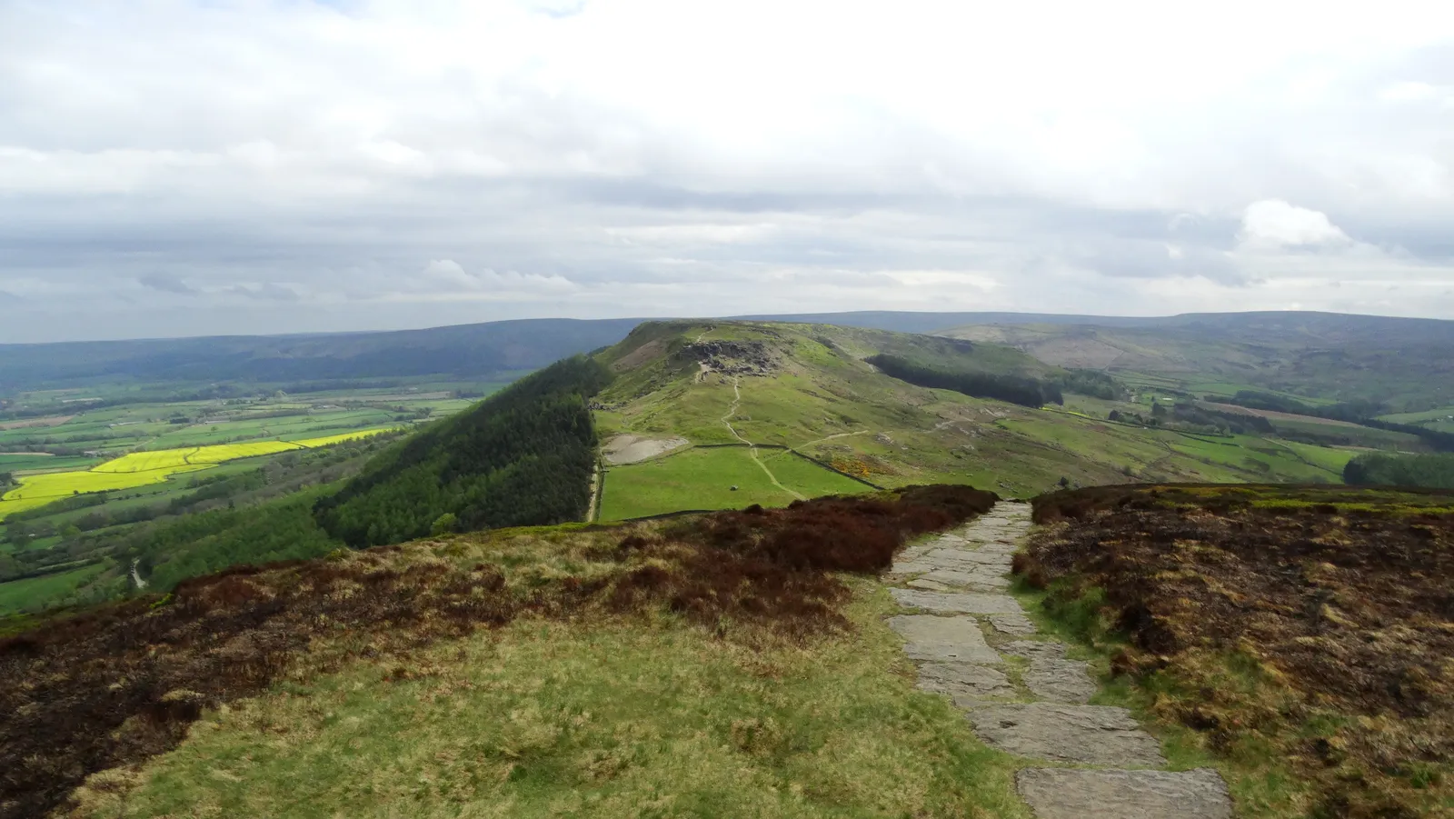
Photo: Colin Park, CC BY-SA 2.0, via Wikimedia Commons
- Distance
- 175 km (109 miles)
- Country
- England
- Difficulty
- Moderate
- Type of trip
- Hiking trail
The Cleveland Way runs 109 miles (175 km) from Helmsley to Filey Brigg in North Yorkshire, in a horseshoe round the North York Moors National Park. The first half goes west and north over the moors and the Cleveland Hills, and reaches the sea at Saltburn-by-the-Sea. The second half follows the cliffs south through Whitby, Robin Hood's Bay and Scarborough to Filey. It opened on 24 May 1969, the second National Trail in England and Wales. The official guidebook allows nine days. It's a walking route, and bikes and horses can only use a few stretches on the moors.
You sleep in the towns and villages along the way, in B&Bs, pubs, hostels and campsites. Rooms go quickly in summer, and National Trails says to book well ahead. There's normally no right to wild camp, so ask the landowner. Most people walk clockwise from Helmsley, as the wind is more often behind you. The path is well signed, but National Trails says a map or GPS mapping is essential, and phone signal is patchy.
Highlights along the way
- Rievaulx Abbey and Sutton Bank: On the first day you pass the ruins of Rievaulx Abbey in the wooded Rye Valley, then reach the edge of the Hambleton Hills at Sutton Bank. James Herriot called the view over the Vale of York the finest in England. The White Horse of Kilburn, cut by a schoolmaster and 30 volunteers in 1857, is at its southern end.
- The Cleveland Hills: North of Osmotherley the path crosses five moors one after another, much of it on restored path, and passes the big sandstone blocks of the Wainstones. On Urra Moor it reaches 454 m, the highest point of the North York Moors.
- Roseberry Topping: Its shape gave it the nickname Yorkshire's Matterhorn, and the summit is 320 m. On the way you pass Captain Cook's Monument on Easby Moor, put up in 1827.
- Boulby and Staithes: After Skinningrove the path climbs Boulby Cliff, at 203 m the highest cliff on England's east coast. Then it drops into Staithes, a harbour village of narrow alleys with pubs and rooms.
- Whitby and Robin Hood's Bay: In Whitby you cross the harbour and climb the 199 steps to St Mary's church. Robin Hood's Bay, an old smugglers' village crammed onto the cliff, is also where the Coast to Coast walk ends.
Distance
The trail is 109 miles (175 km), roughly half on the moors and half on the coast. The stages in the official route description run from 9.3 miles (15 km) up to 17.5 miles (28 km), and the longest is Saltburn to Sandsend. The coast path is far from flat, with steep drops to sea level at places like Boggle Hole. There are trains to Kildale, Whitby, Scarborough and Filey, and buses to Helmsley from York, Malton and Scarborough.
Best time to go
You can walk it all year. The heather on the moors flowers in late August and early September. In winter the coast path can get very muddy, so National Trails suggests spring to autumn. In November 2026 National Trails listed temporary diversions south of Robin Hood's Bay, where steps are being rebuilt, and at Skelton for a housing development. Diversions are marked on the map at nationaltrail.co.uk.
More journeys in England
- Exmouth towards Poole SWCP · Greg
- Folk on a Boat · Simon & Lucy
- Bristol Rides · David
- Scotland West Coast Train · Greg
- Week In UK · Greg
- Pangbourne · Ben
Flyby films from England
- The Great Escape · saeunn
- Ferry to UK · Greg
- Exeter towards Poole · Greg
- Shanghai Stopover · David
More routes like this
- Hadrian’s Wall Path · about 135 km (84 miles) · England
- Coast to Coast Walk · 306 km (190 miles) · England
- North Downs Way · 246 km (153 miles) · England
- Dales Way · 128 km (80 miles) · England
- Pennine Way · about 431 km (268 miles) · England, Scotland
- Jurassic Coast walk · about 182 km (113 miles) · England